Storm Chase Details
Miles Logged: 872
States Chased: CO
Storm Mode: Supercell - Classic, Supercell - HP, Multicell Cluster
Largest Hail Encountered: 2.50 in.
Highest Wind Encountered: 75 MPH
Spotter Network Reports: 2
Severe Risks: SPC Outlooks
Severe Reports: Storm Reports
After seeing models consistently showing an upslope regime, I would leave on Tuesday the 23rd and head to Colorado for a few days of upslope storms. Or at least, that was the intention.
Supercell near Amarillo
Just before departing on Tuesday afternoon, the Oklahoma City metro area was hit hard. We had a 64 mph wind gust reported in my neighborhood, with tree limbs down everywhere. Shortly thereafter, I departed for Colorado.
As I was heading out west on I-40 from OKC, the plan was to go through the Oklahoma panhandle to Boise City and up into Colorado. I had booked my hotel in Fort Morgan for 2 nights, which is kind of rare during storm chasing. On the way out, a supercell fired near Amarillo so I adjusted my route to put me within striking distance if need be. I went to Elk City then west on highway 152 to Pampa. As I neared Pampa, I needed gas and a bathroom break.

The mammatus on the storm near Amarillo was nice, and other chasers were reporting that they expected tornadogenesis. It does not appear that there was a tornado, and the storm had lost a significant amount of intensity by the time I passed nearby.
Heading to Fort Morgan
So, I bypassed the Amarillo storm and continued to US287. Once I hit 287 in Dumas, I took it up to Boise City and thru Colorado to Limon Once in Limon, I continued north to Brush and over to Fort Morgan. Got in extremely late and had to be up early for some work meetings.
I was able to sign off and head out to chase in the early afternoon, so I met up with a friend and we departed Fort Morgan.
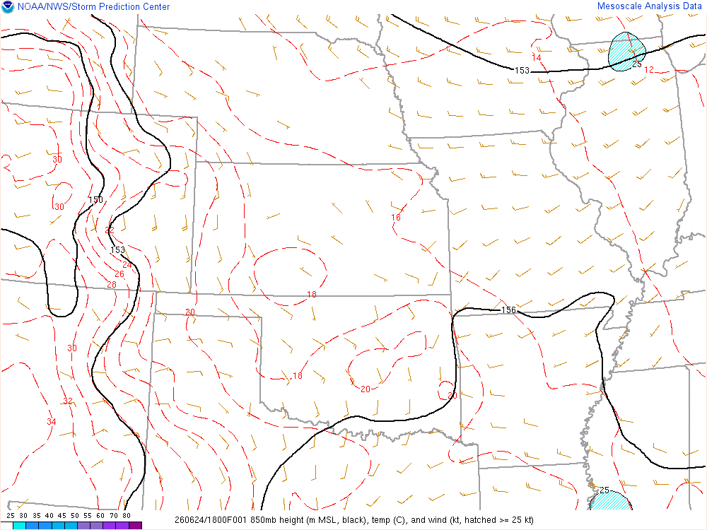
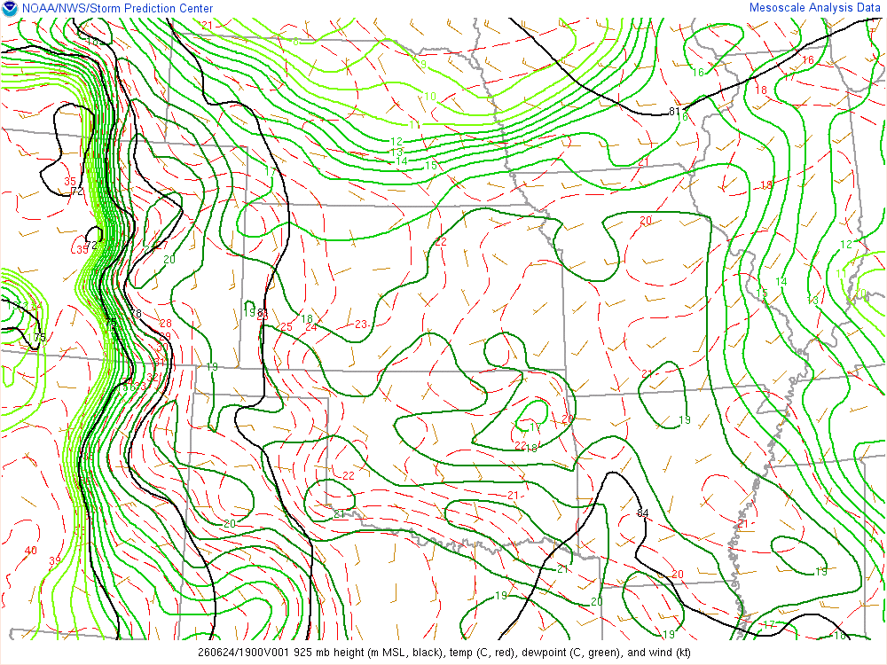
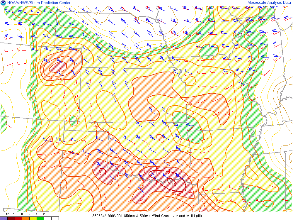
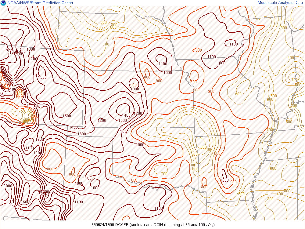
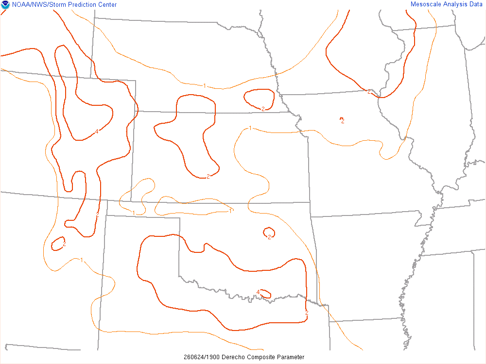
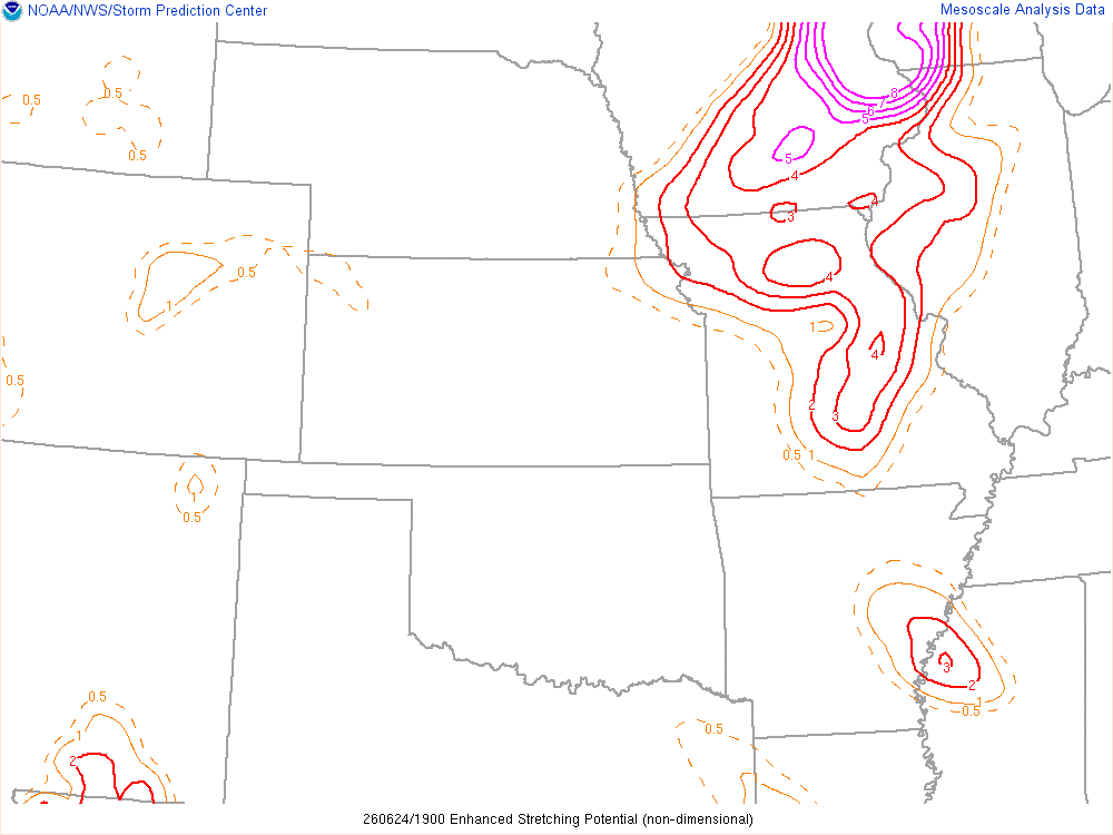
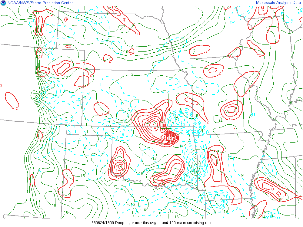
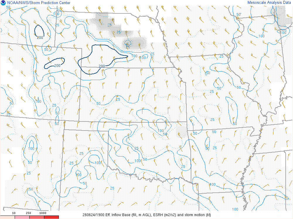
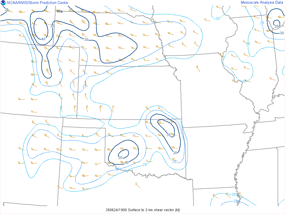
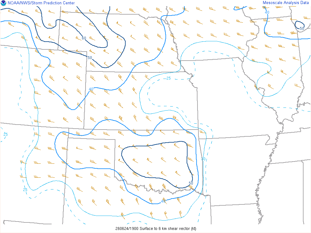
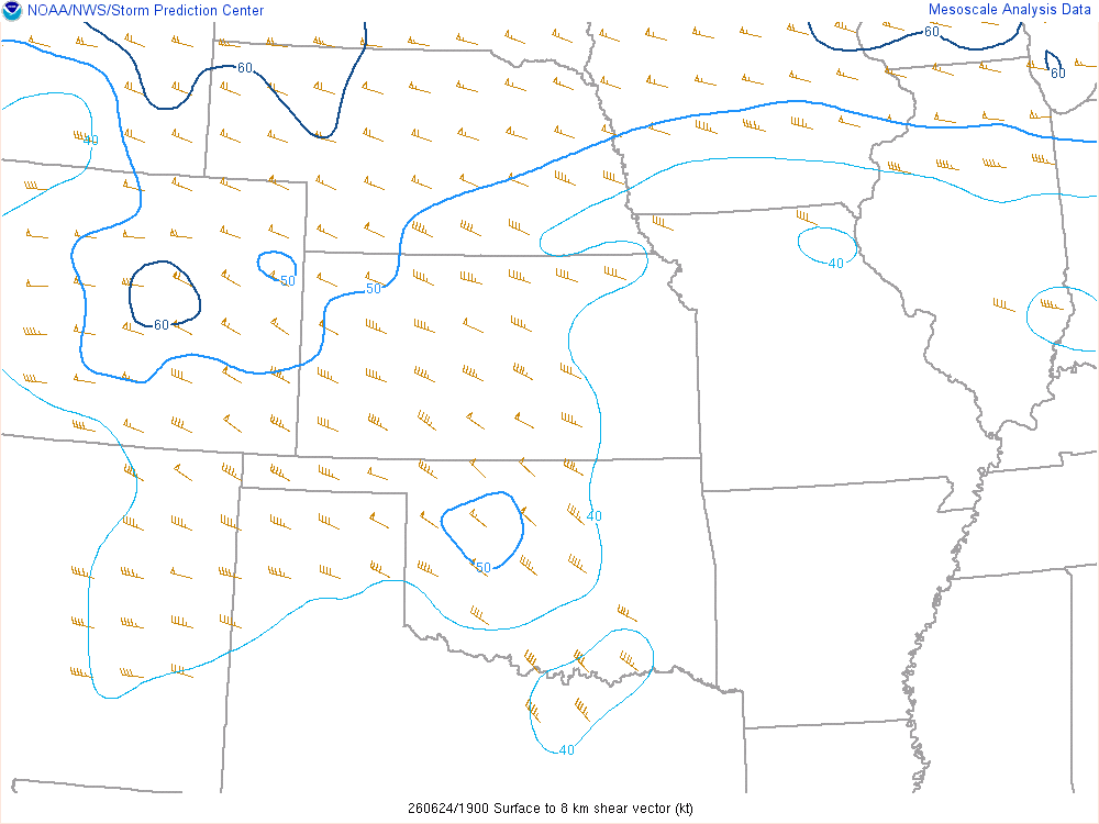
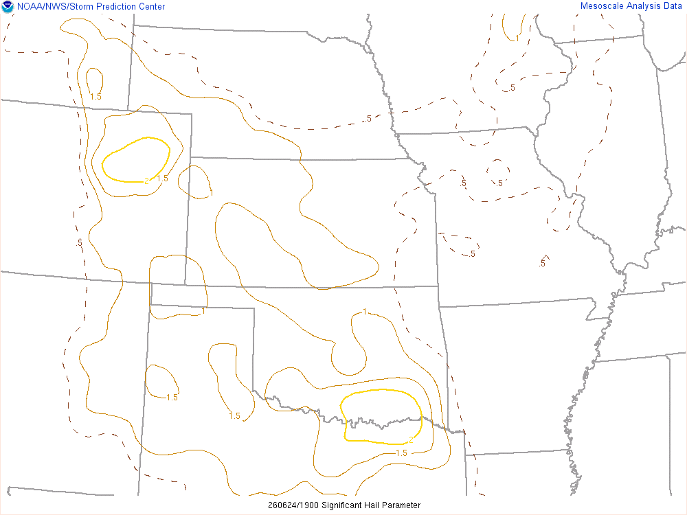
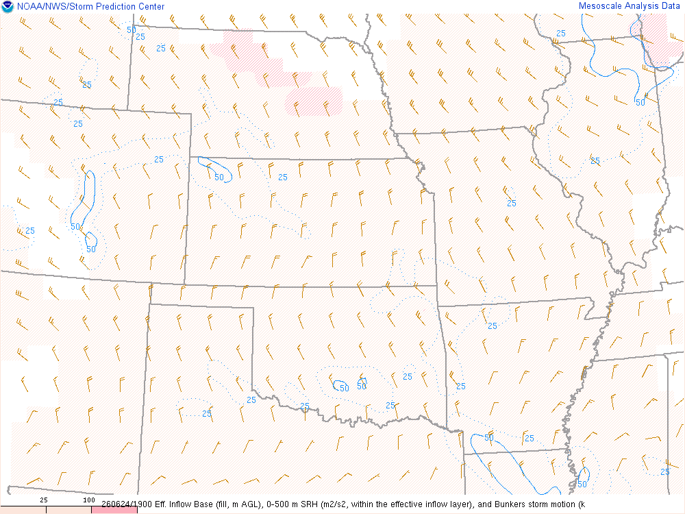
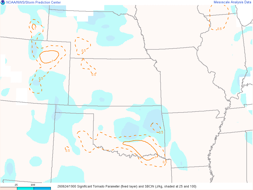
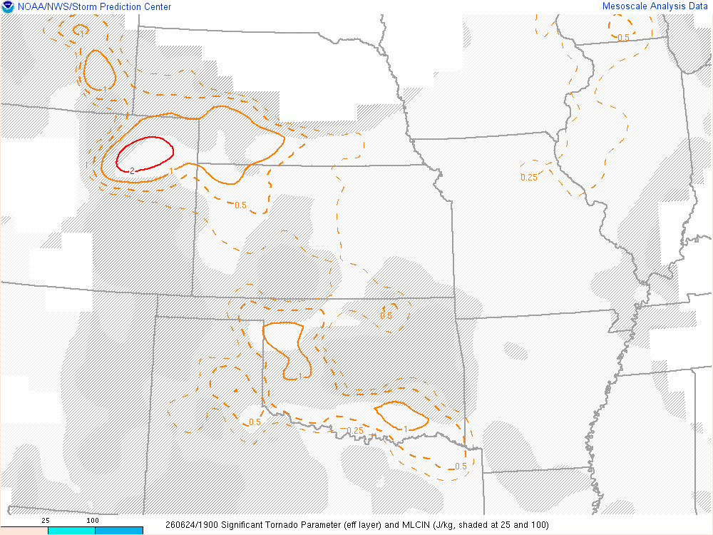
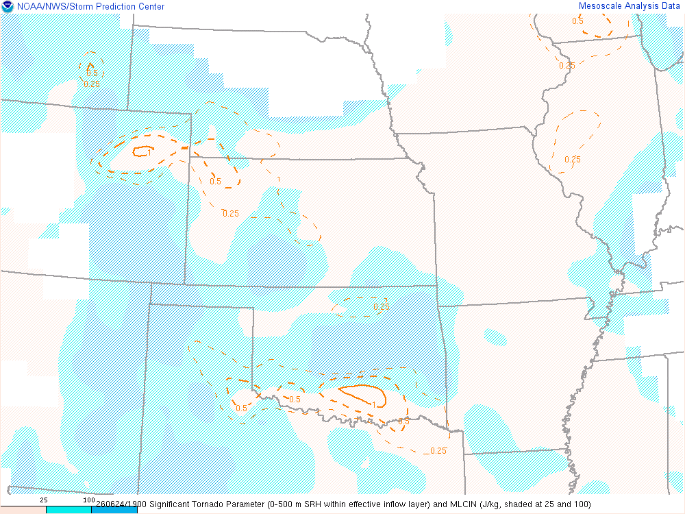
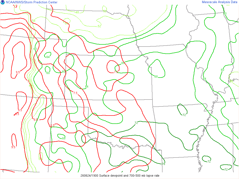
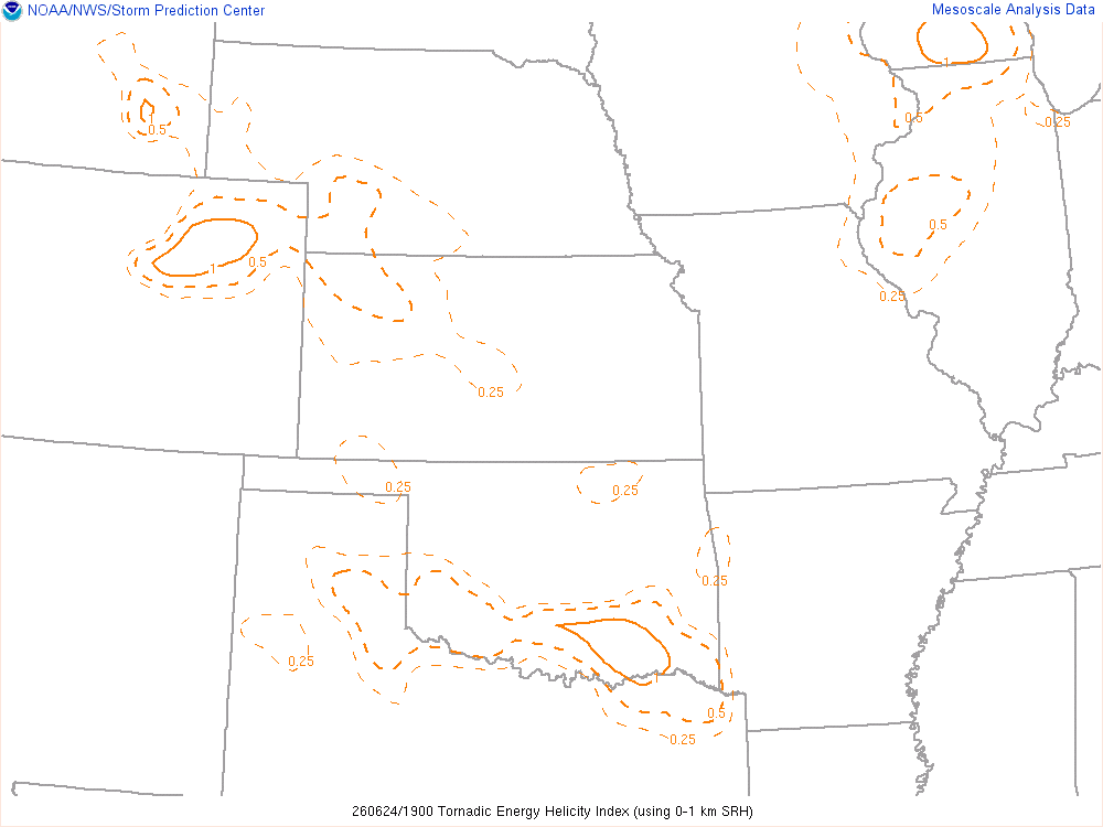
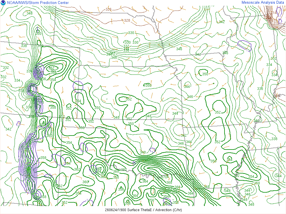
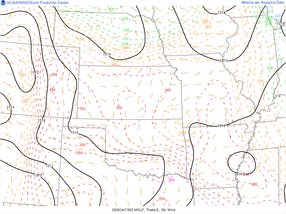
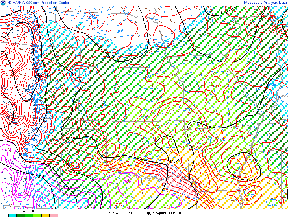
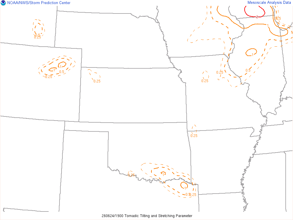
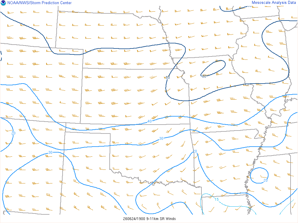
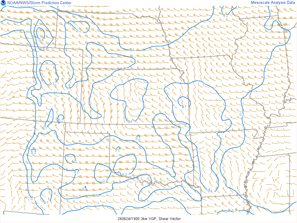
19Z/1pm MDT SPC Mesoanalysis
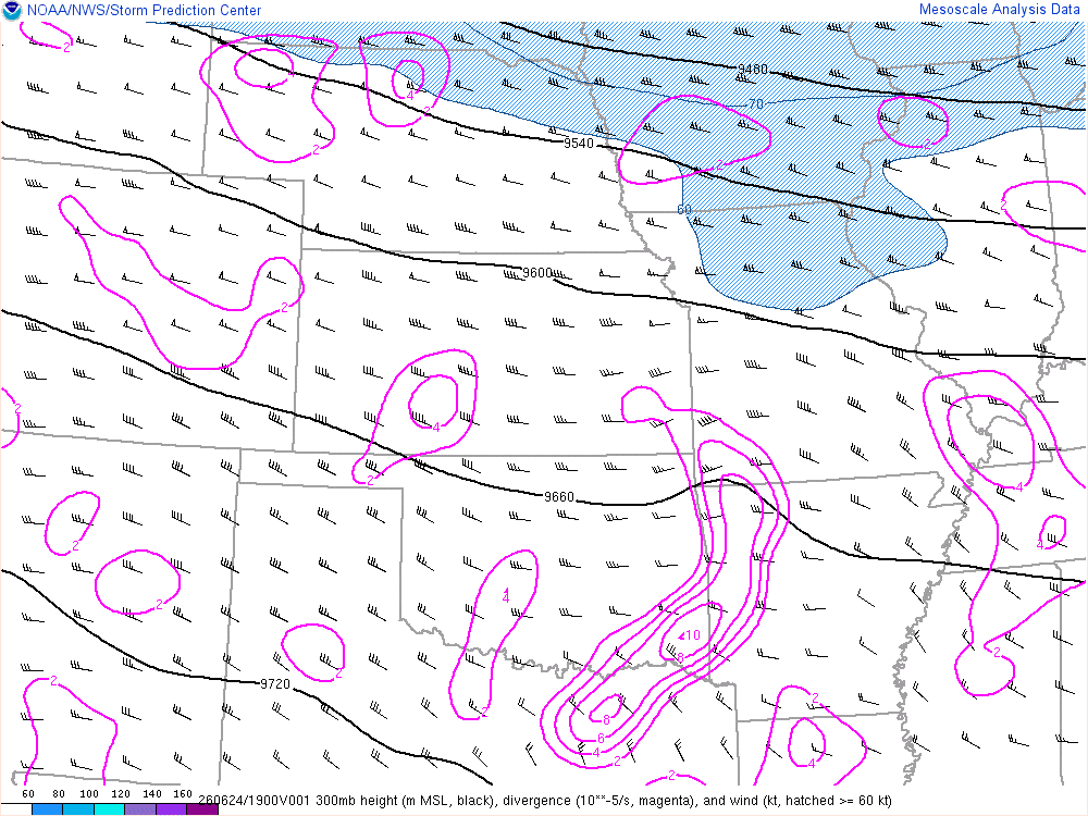
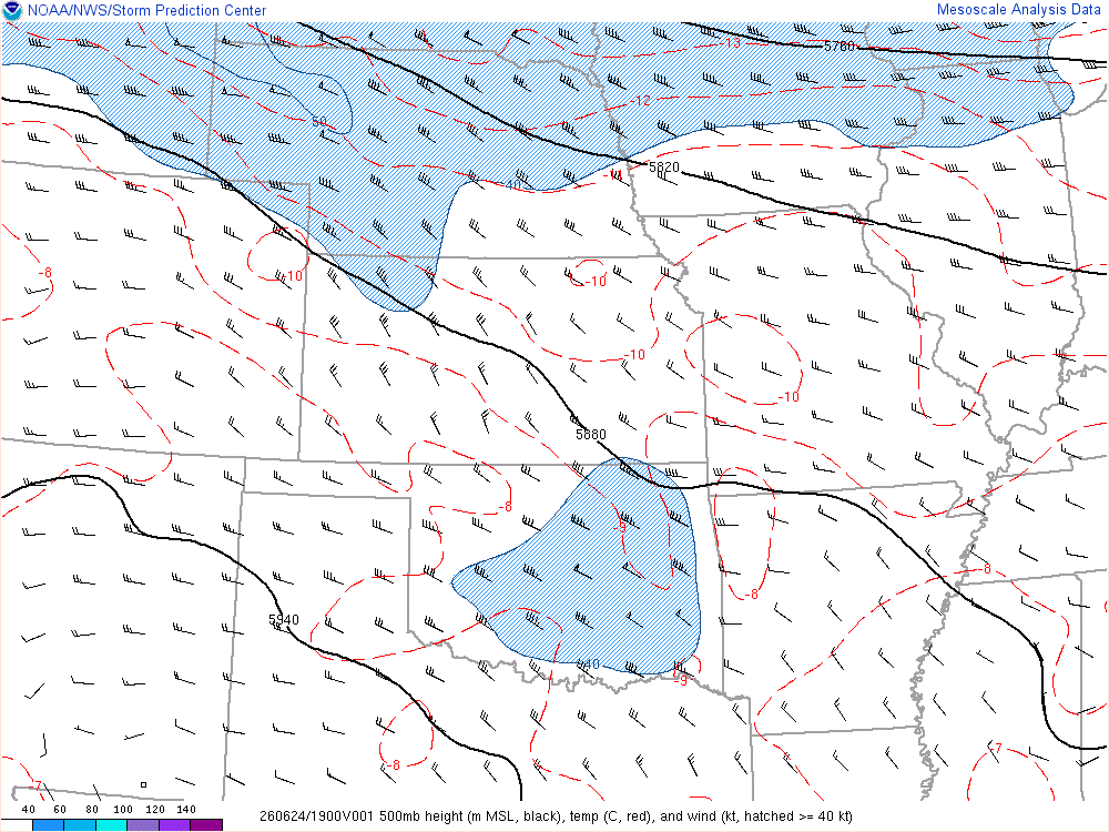
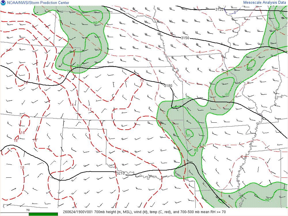
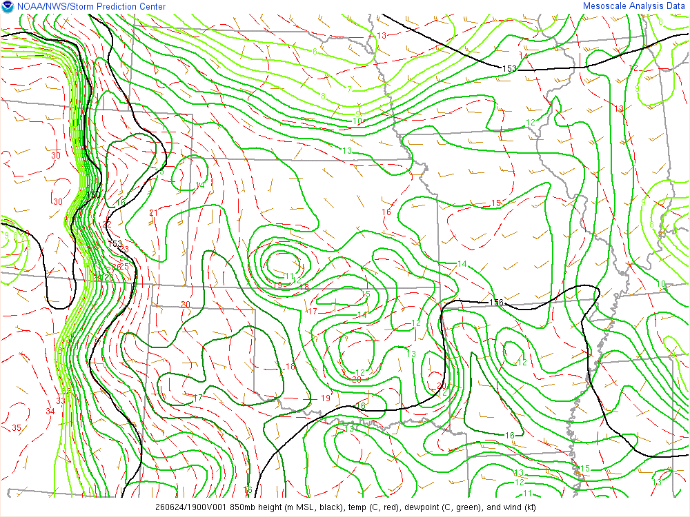
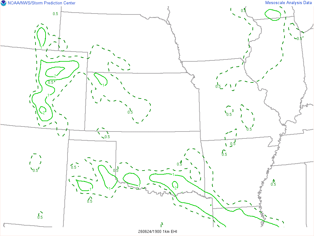
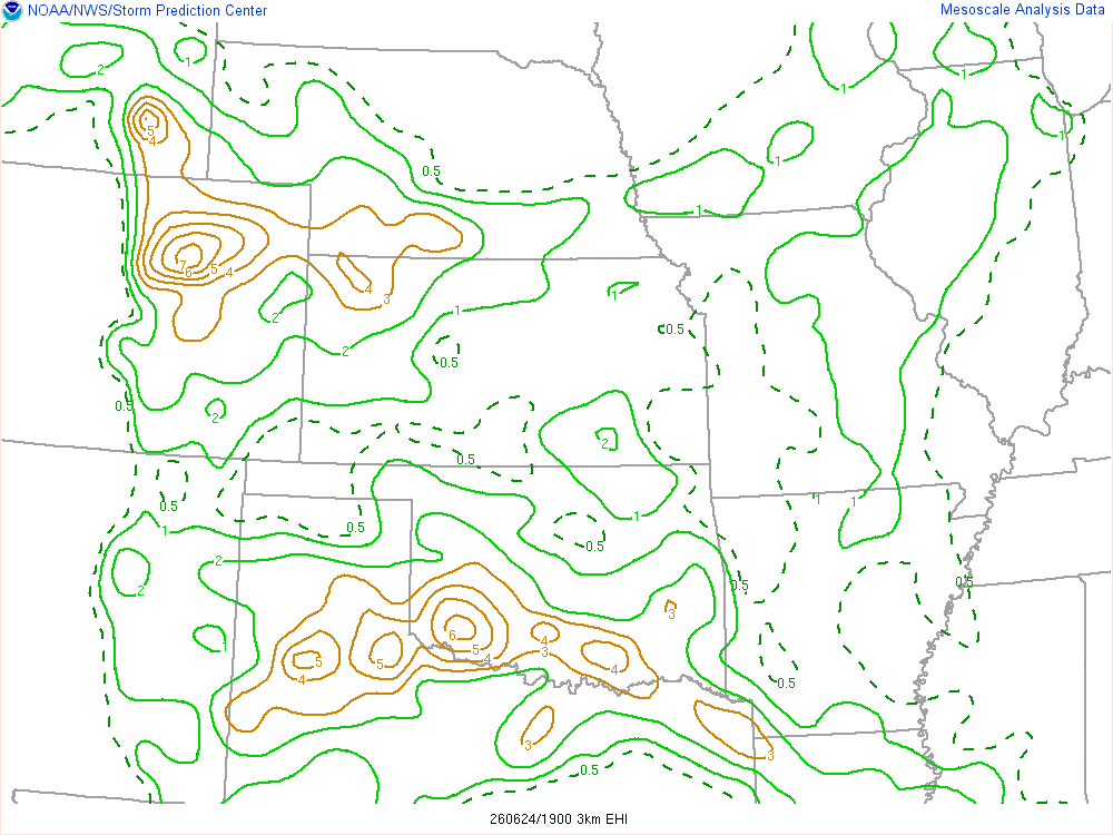
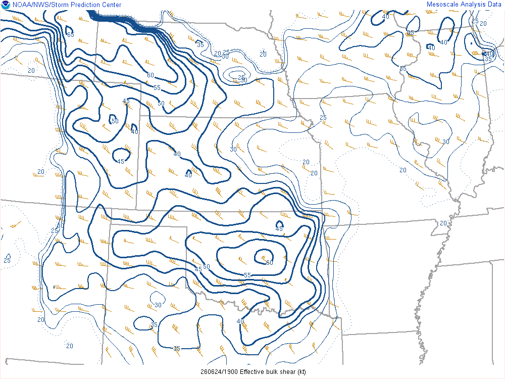

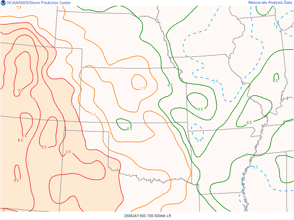
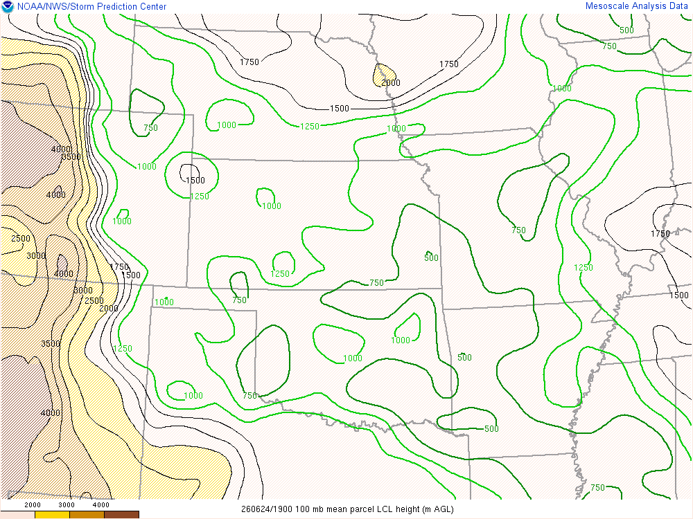
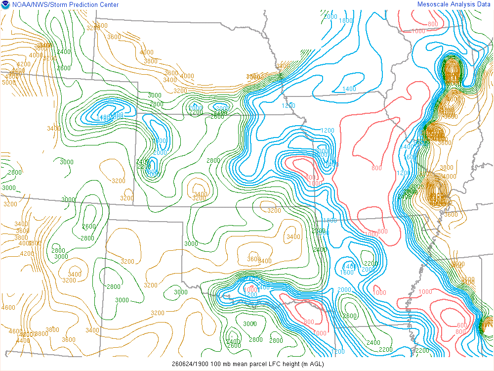
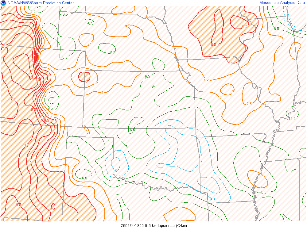
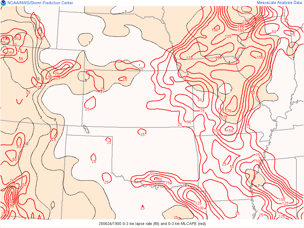
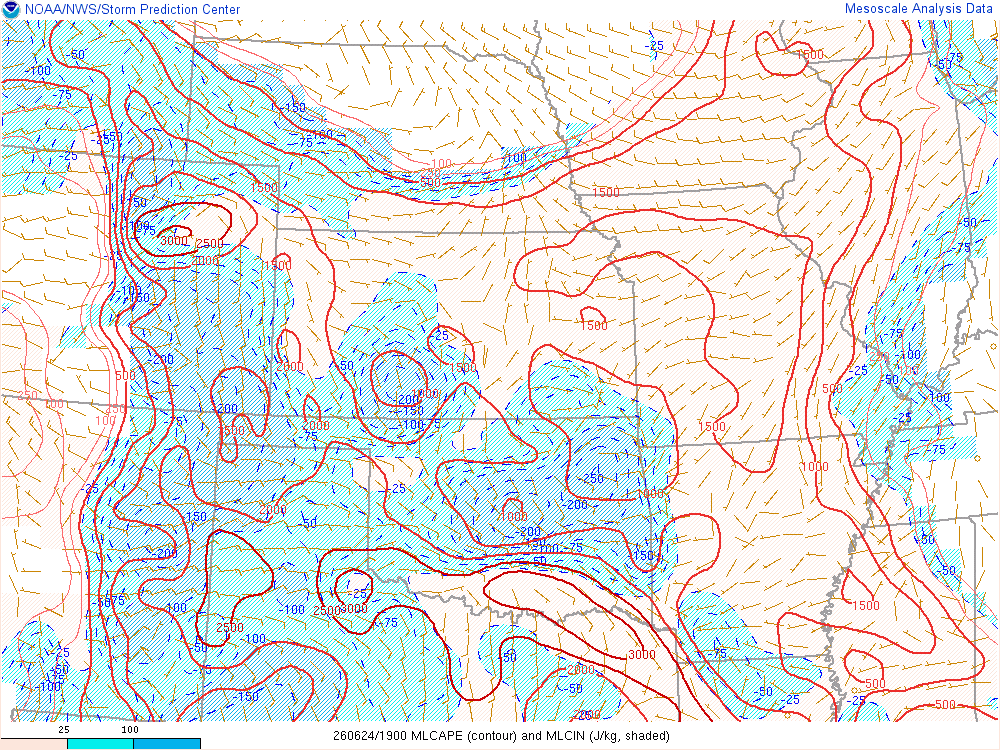
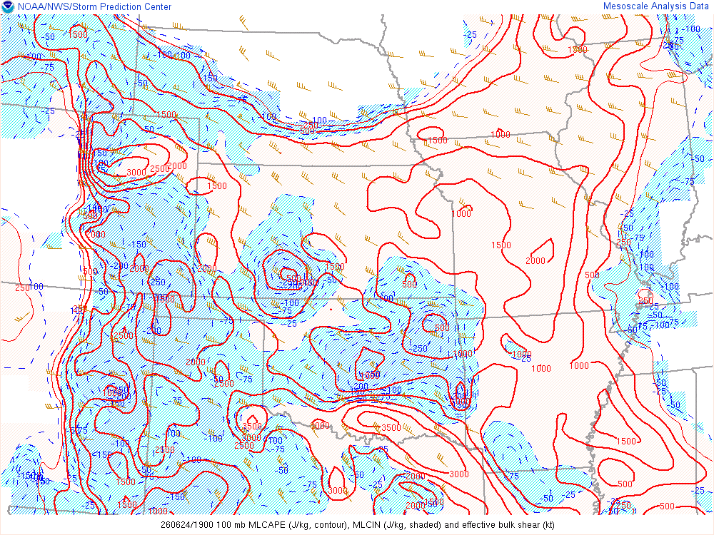
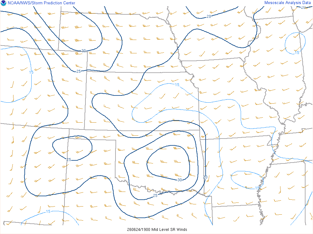
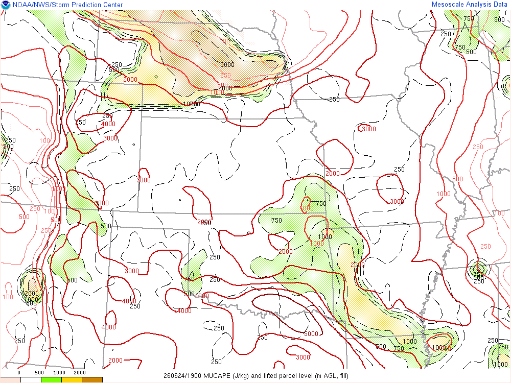
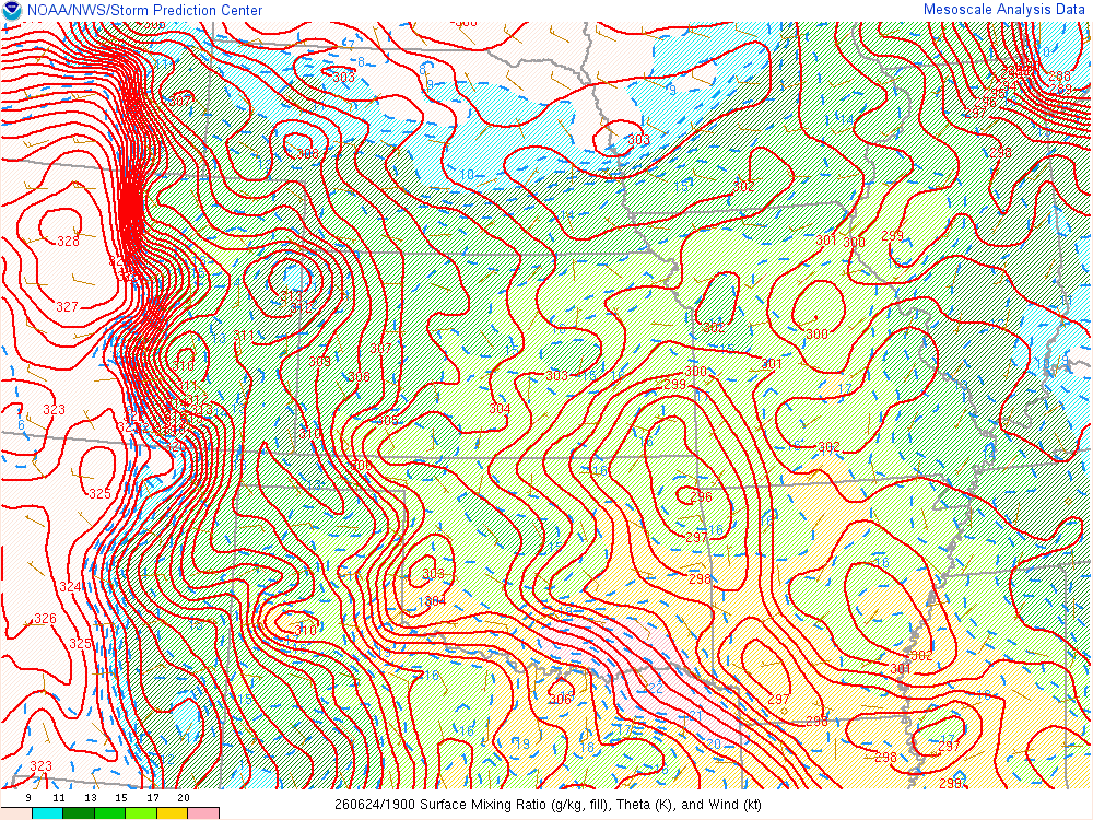
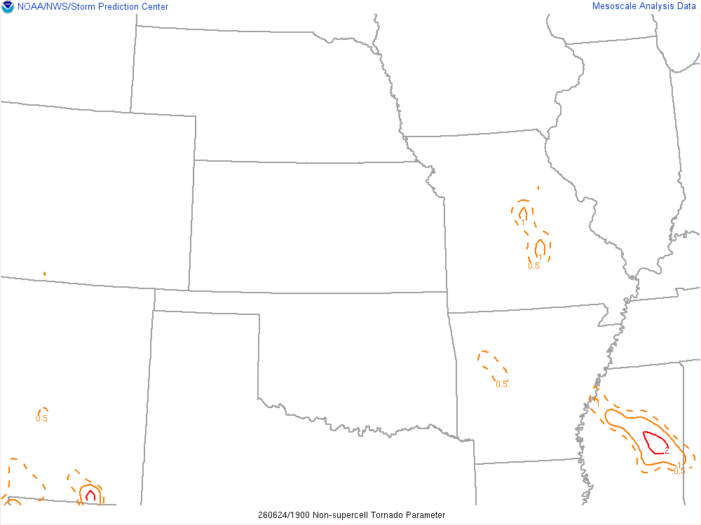
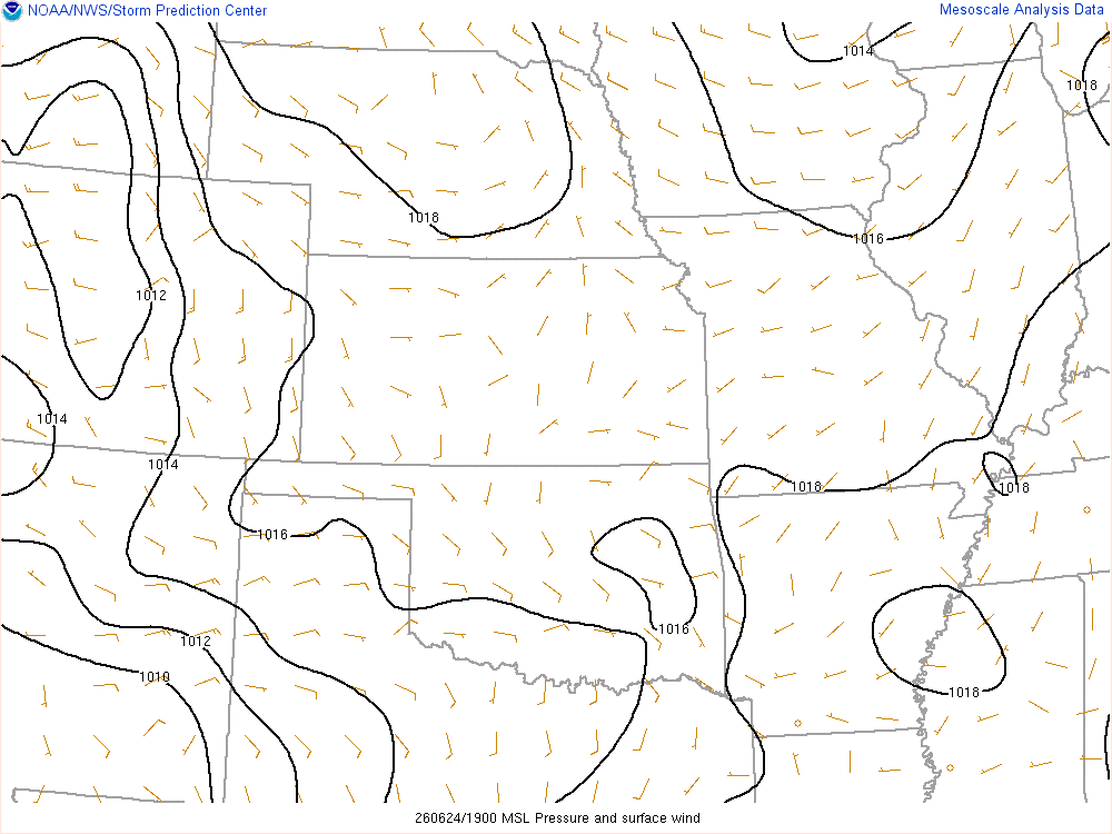
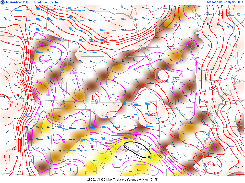
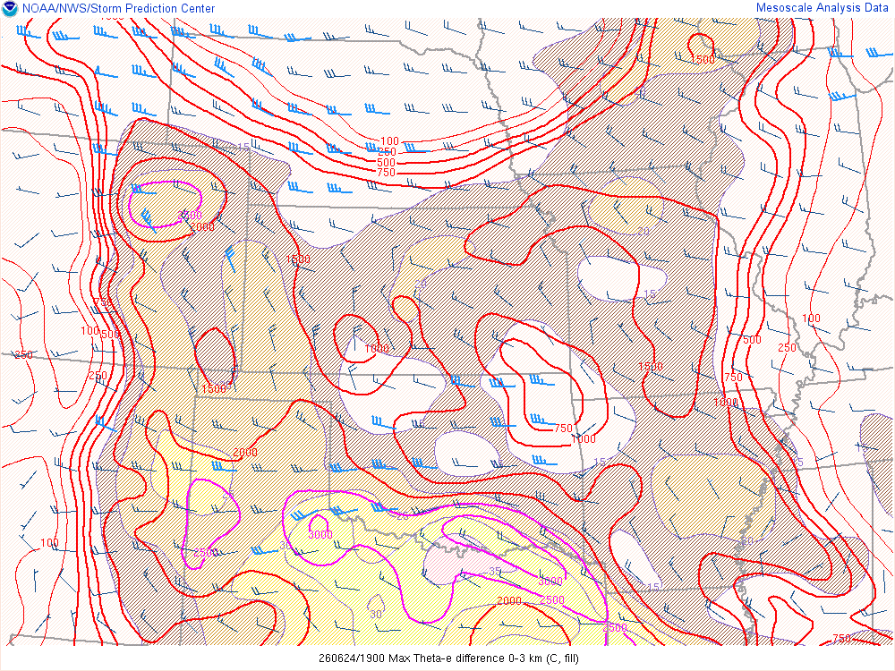
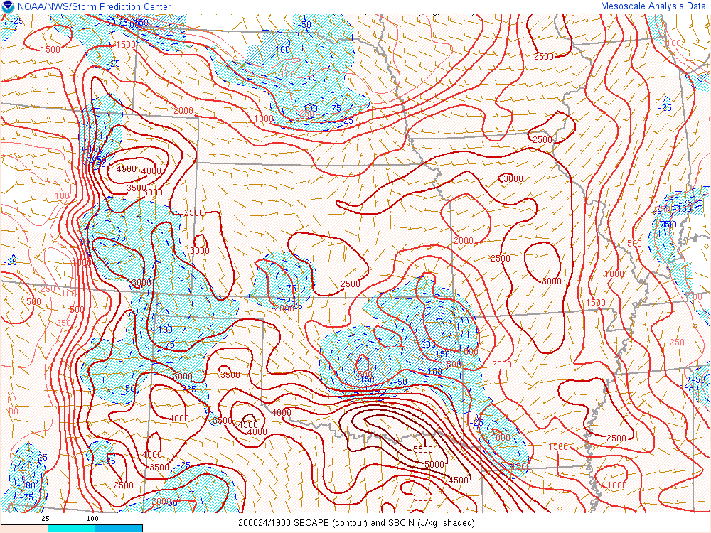
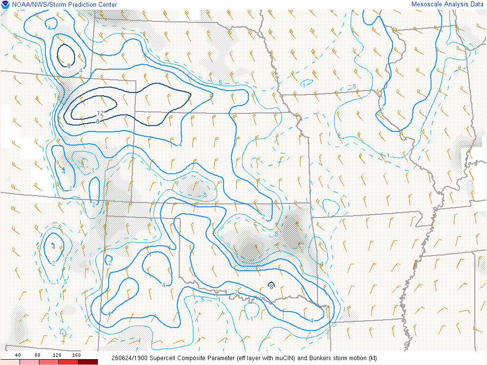
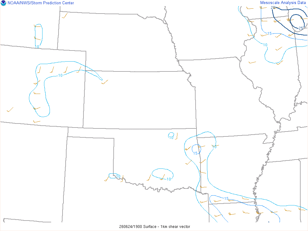
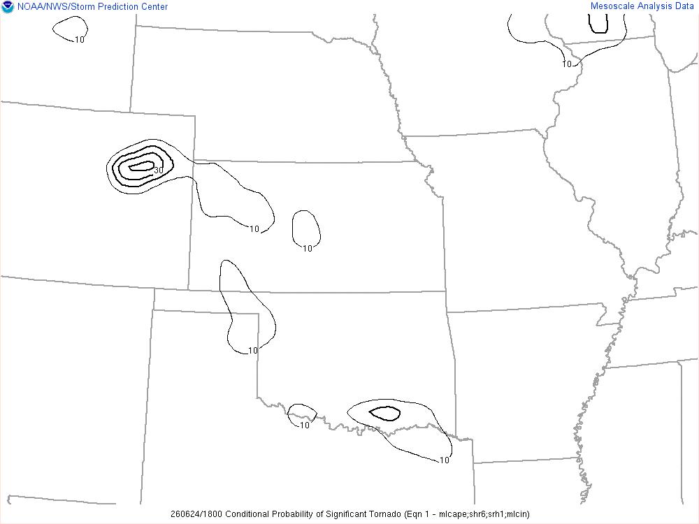
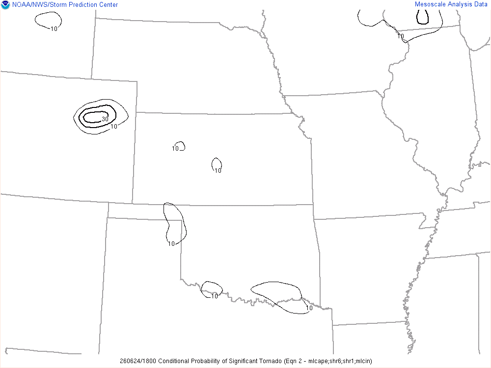
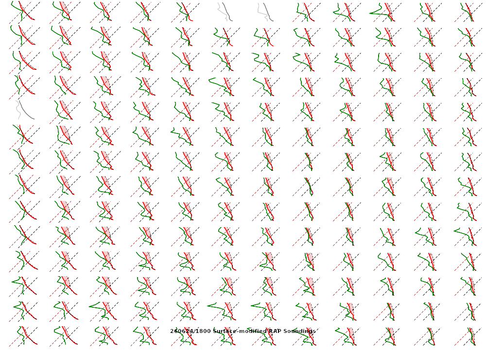

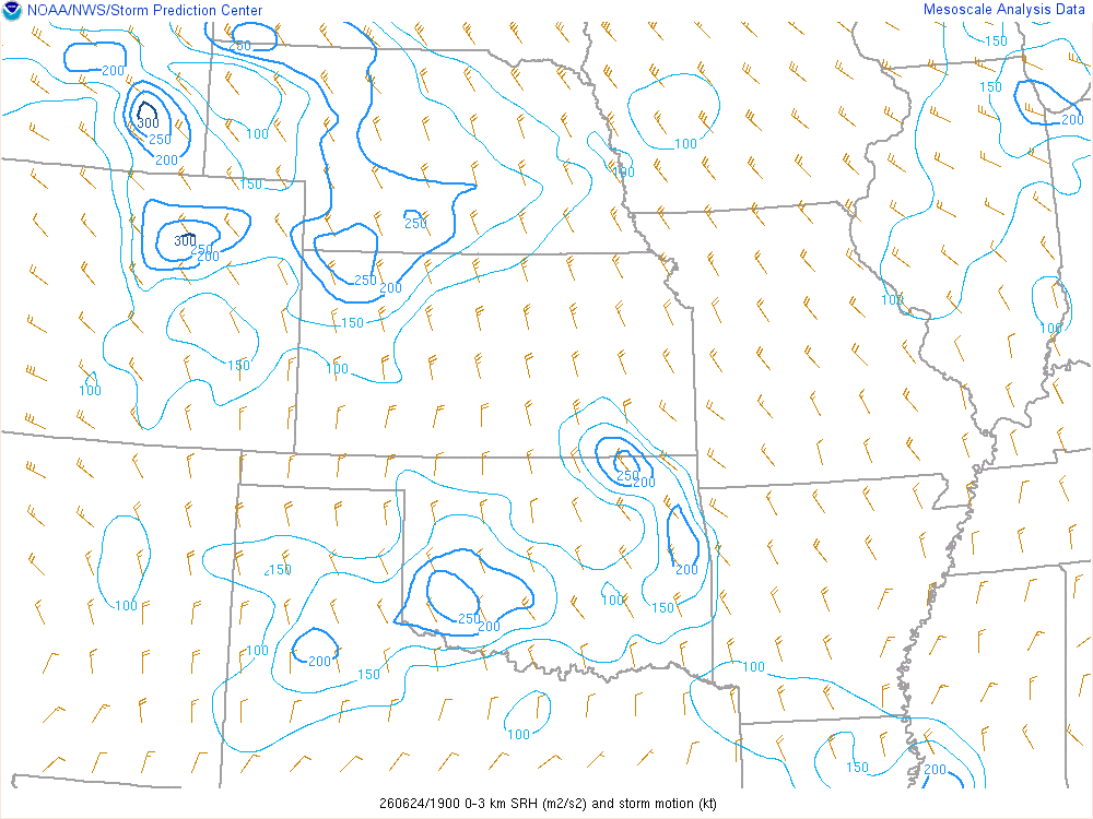
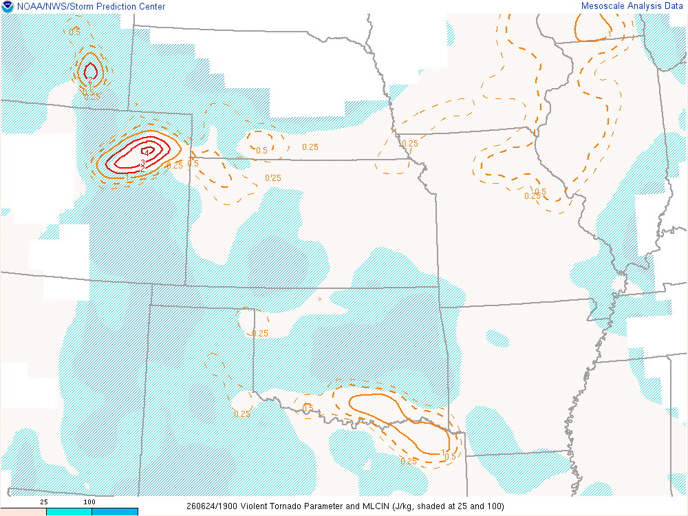
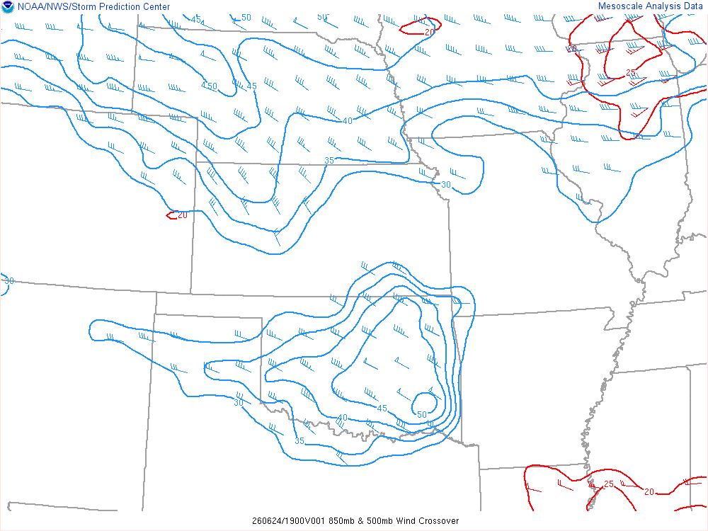
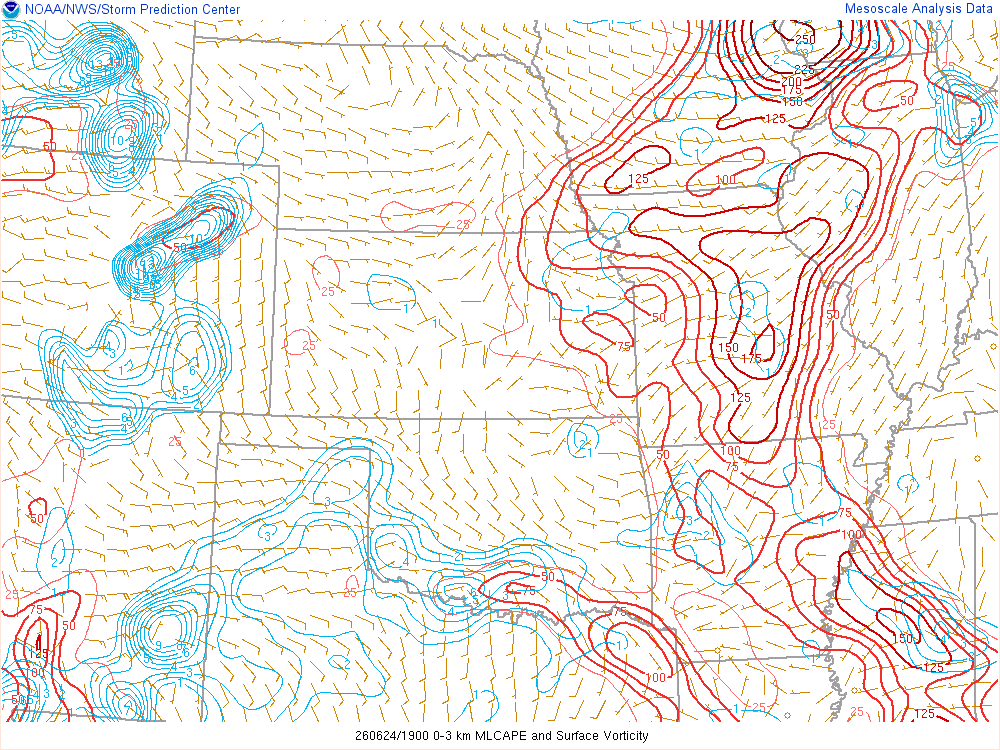
Leaving Fort Morgan to Chase
It was late by the time I finished up my meetings and work, packed the car and grabbed Taco Bell for lunch. A storm had fired north of town and was severe warned as I finished my last taco, so I ventured north to the airport. I did not notice it in real time, but the cloud was spinning anti-cyclonic as we watched it come into Fort Morgan.
Fort Morgan Colorado Hailstorm
We tried to return to the hotel to rescue my friends car and move it under the overhang. While their car kept all of its windows, I turned around to face the hail and my windshield shattered. One hailstone busted a ton of glass shards all over my drivers area. Visibility was terrible. Luckily I was able to get the windshield fixed at a reasonable price by Quick Set Auto Glass in Brighton.

As we continued south of Fort Morgan, we continued to see some hail. Smaller, then we got into some bigger stuff. The biggest I observed was around 2.5 inches in diameter. The stones that hit my windshield must have been extra hard. As we worked our way south of the storm, we observed some cool structure

The storm then went into a rapid decline over the next 45 minutes. Many chasers made a run at the tornado warned storm up near Wray and were able to get onto it. It was not that far away, but I was not feeling it, so I started heading back towards Fort Morgan. As I suspected, that storm in Northeast Colorado would go on a rapid decline into nothingness over the next 60-90 minutes.
Meanwhile, new storms had formed further north and west between Fort Collins and Cheyenne These were moving southeast and became tornado warned. A tornado report came in, but I was never able to see one on the storm.
75+ MPH Wind driven Nickel Sized Hail in Fort Morgan
We witnessed a brief funnel right at dark just north of Fort Morgan. As we circled back west to call it a day, we got hit by a downburst of 60-80 MPH winds (if not faster) with Nickel sized hail hitting the car. Visibility was reduced to about 30 feet at times. This storm was extremely intense, and it lasted probably 10 minutes.
We arrived back in Fort Morgan to find the Maverik gas station a mess. The sun lights had been broken out by the hail, and then the rain and wind had flooded inside the store.


