Storm Chase Details
Miles Logged: 723
States Chased: TX
Tornadoes Witnessed: 1
Largest Hail Encountered: 1.50 in.
Severe Risks: SPC Outlooks
Severe Reports: Storm Reports
After a couple nights in Lubbock, Thursday was the day I was most looking forward to. With the overnight storms, we had a nice outflow boundary to play with. I didn’t get to bed until almost 4am after chasing the previous night. I slept in a bit, leaving Lubbock around 1pm.
Initial Target
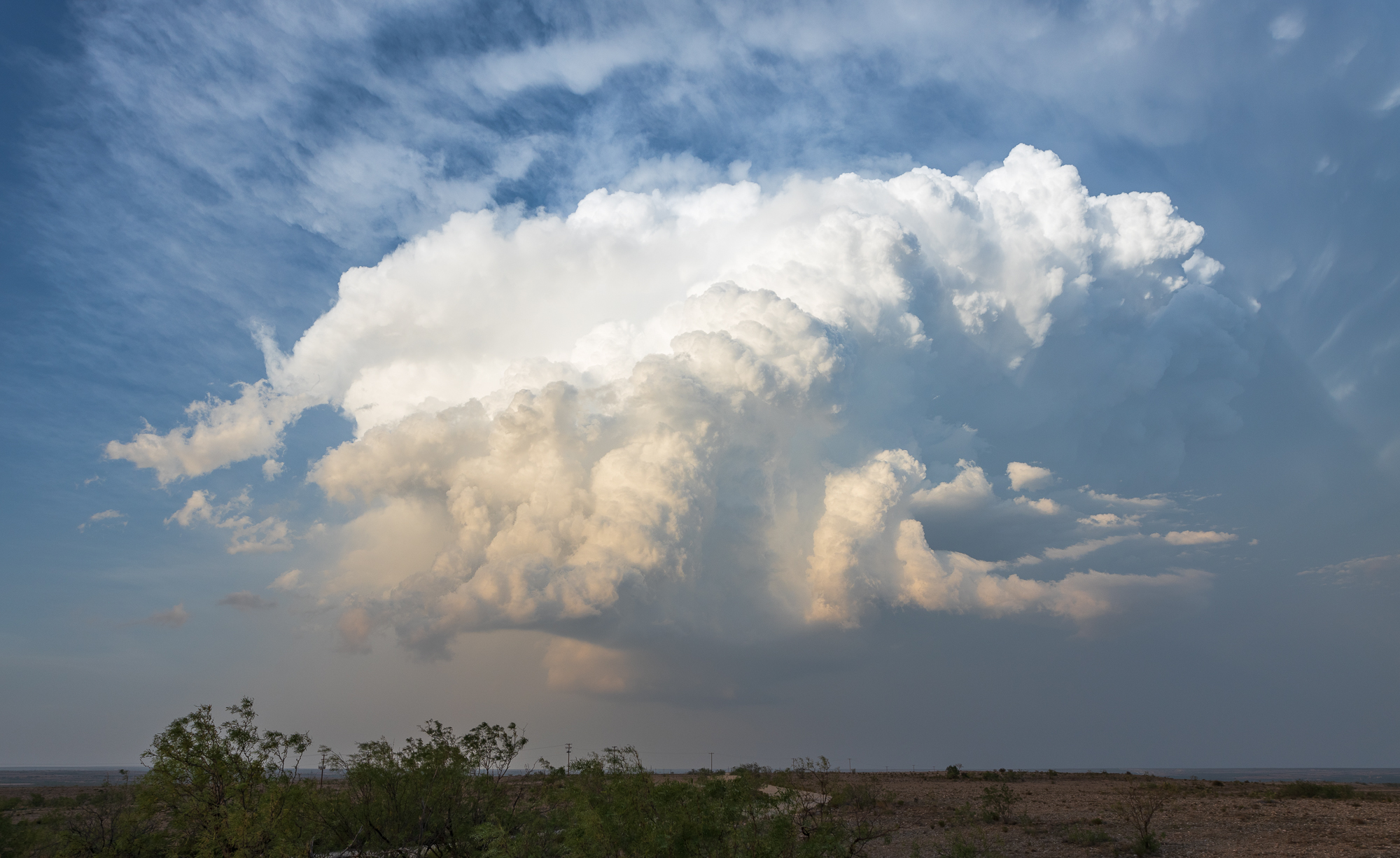
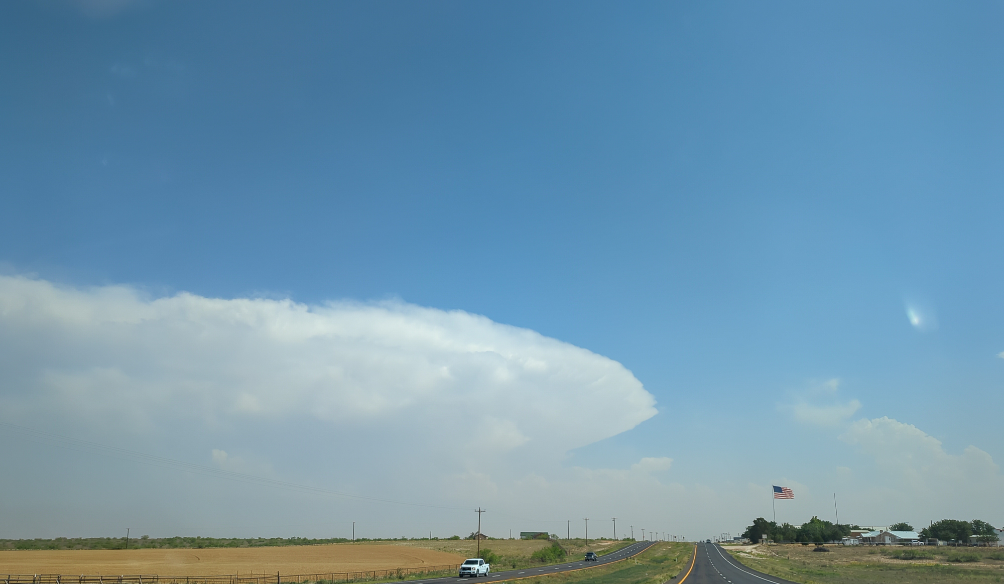
The models were mostly useless as the outflow boundary was the focus for this day. The best storm would be a boundary rider. I headed southwest out of Lubbock towards Brownfield as an initial target.
I sat along the boundary. It continued to push south and west. The “wedge” area to the west of Brownfield had the most agitated cu. The wedge referring to the area between the OFB and Dryline of warm/moist air. I sat on back roads between Brownfield and Plains for awhile watching attempts go up and fail. I’d eventually head to Plains and gas up at Allsups.
Midland Storm
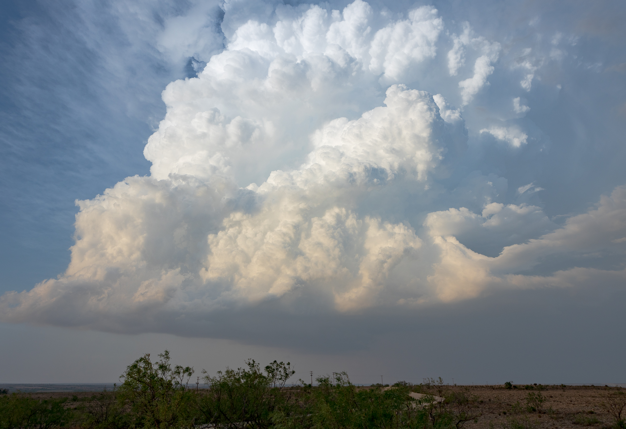
As I sat in Plains, it became obvious that I’d likely need to get south. With south/southeast storm motion, I’d need to get to the southerly portion of the outflow. A storm was maturing south of Andrews. It looked the best on visible satellite and continued to look the strongest on satellite through most of the afternoon.
I headed south through Denver City, Seminole and Andrews. Each city would set me back a bit as traffic was insane. Seems the oil boom is back on. I would approach using US385 into Odessa. I tried using loop 338 and found myself in rush hour traffic. It took me 30 minutes to get around Odessa and out on the south side of town. In retrospect, I should have punched east on I-20 to TX349 for better positioning. I dropped south to FM 1787 and then east towards 349.
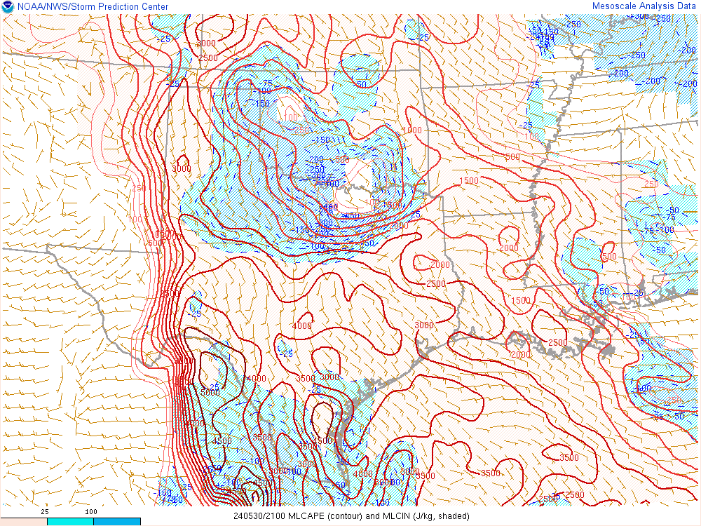
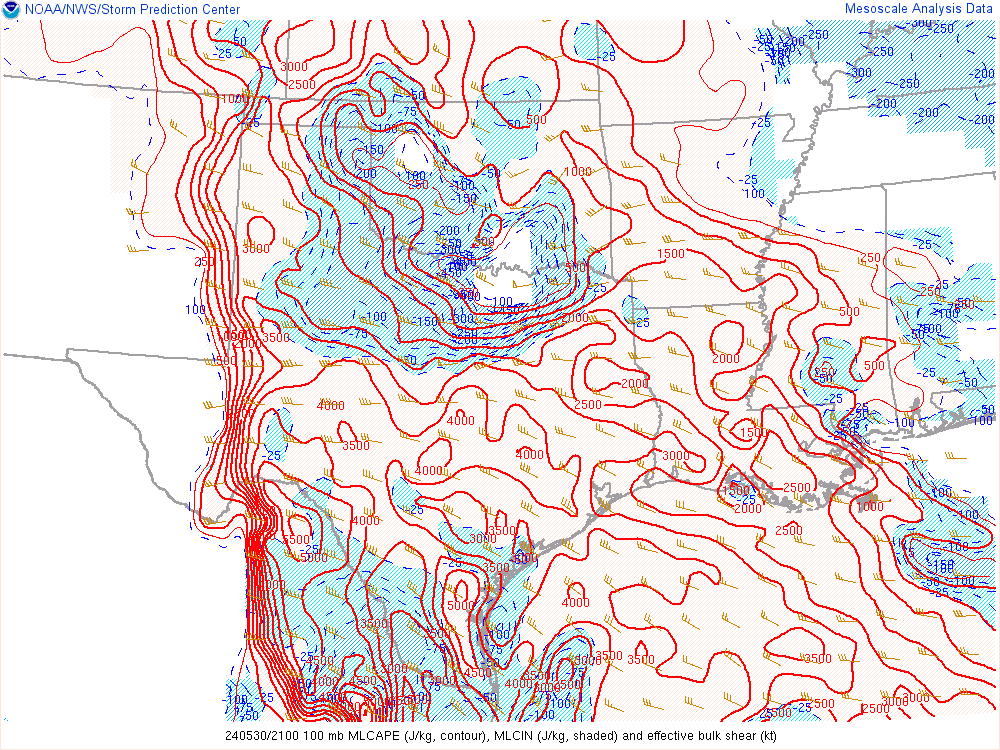
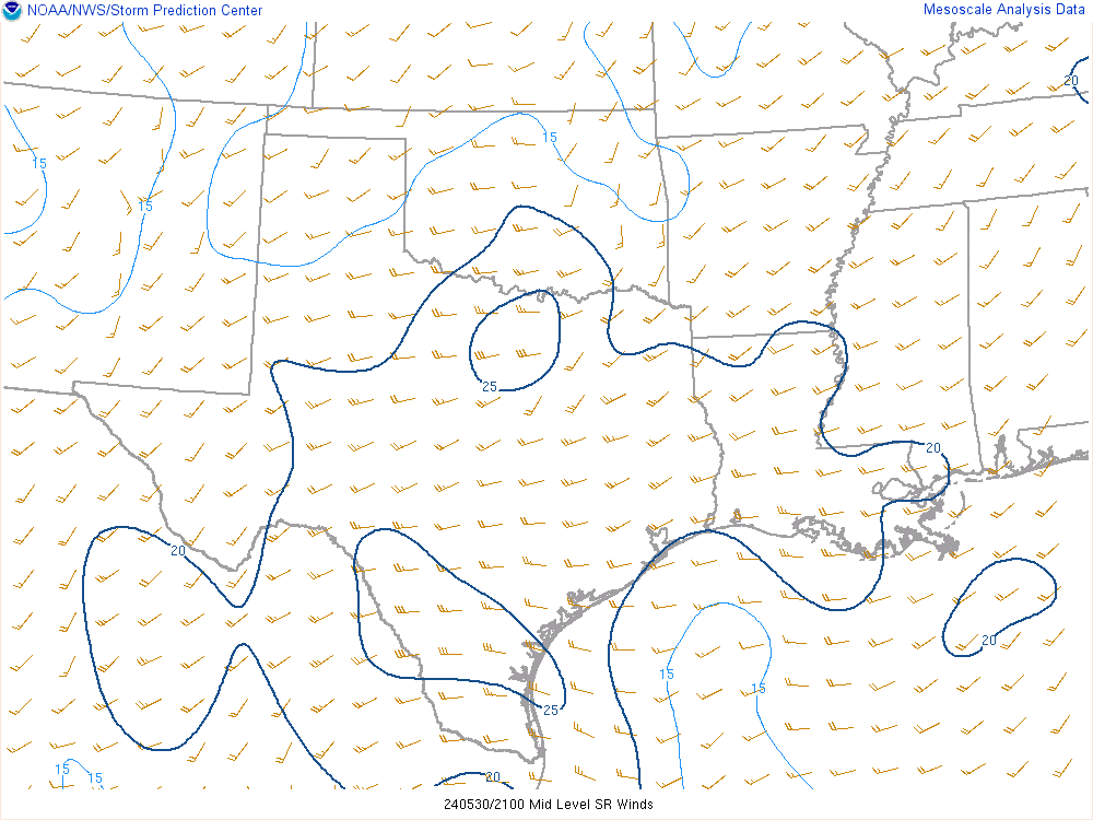
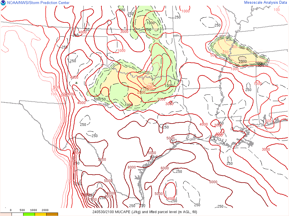
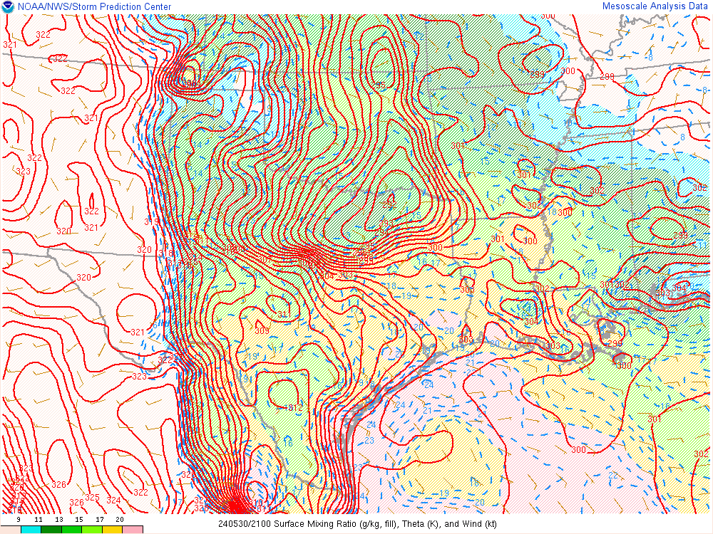
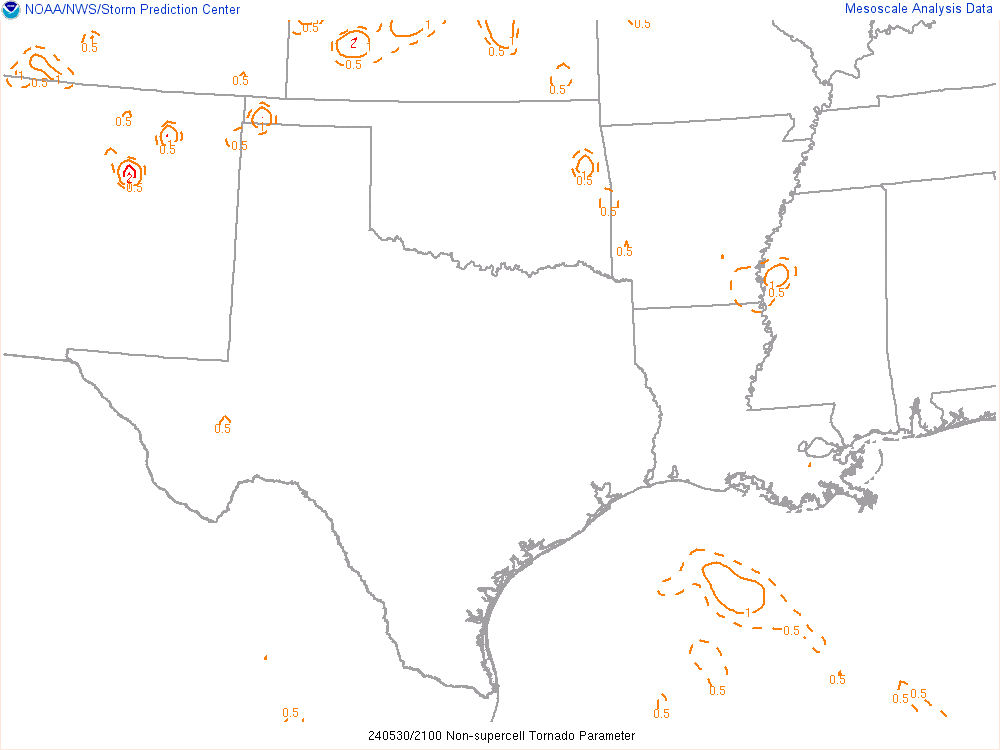
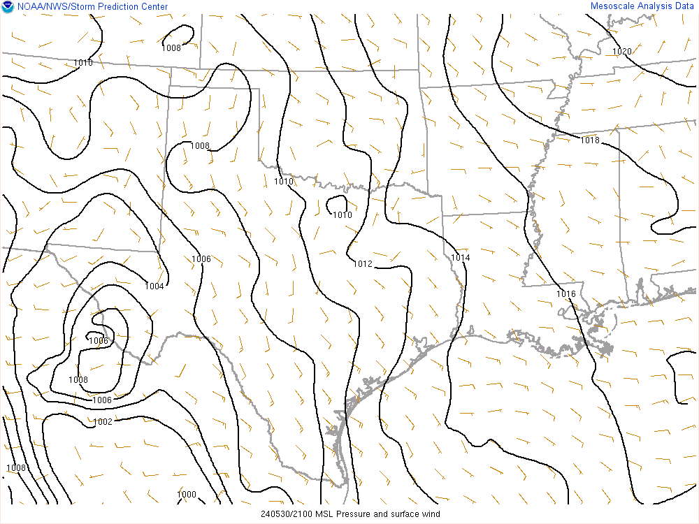
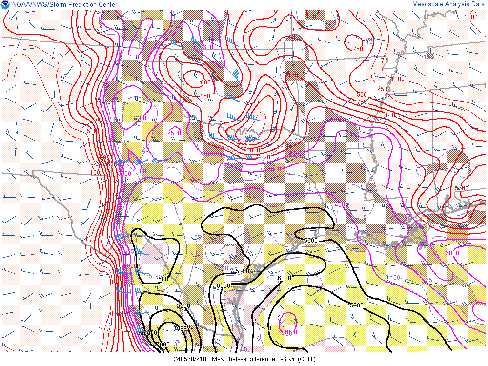
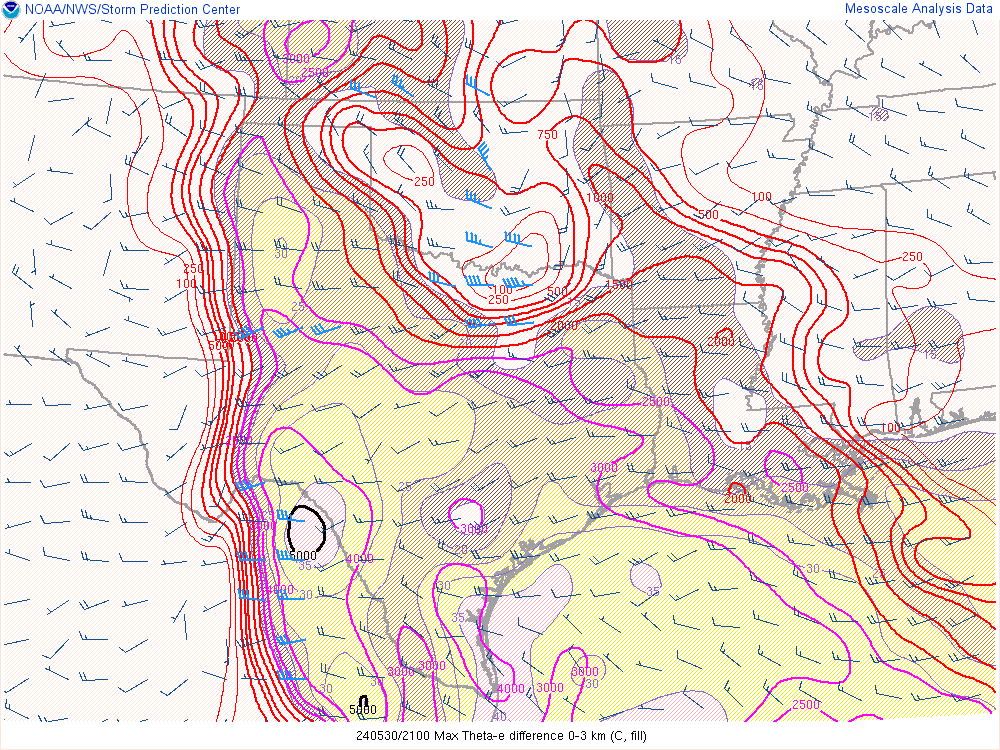
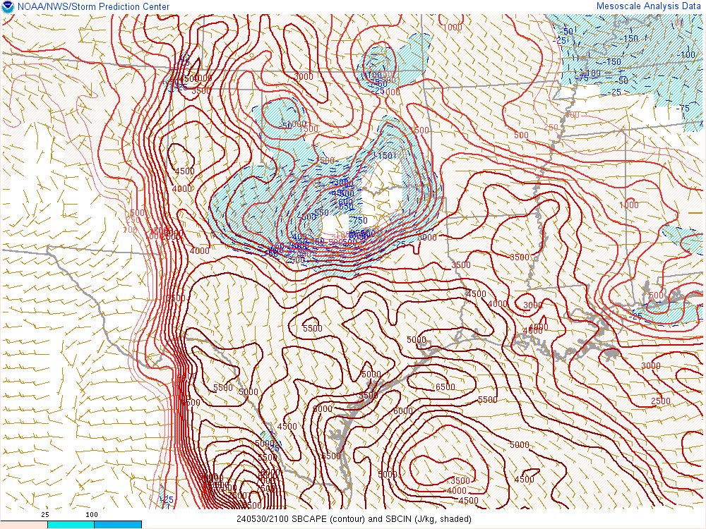
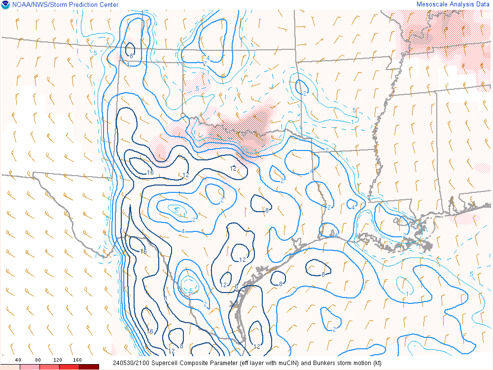
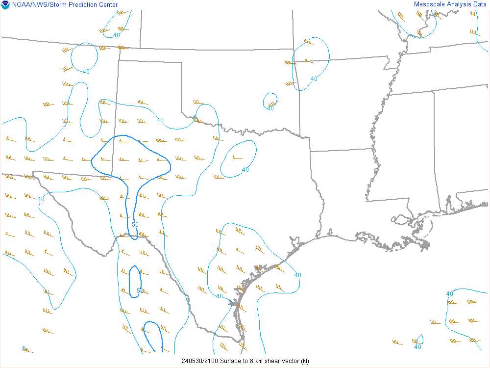
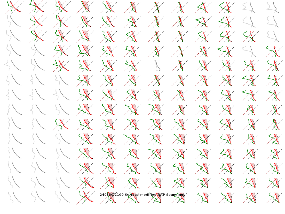
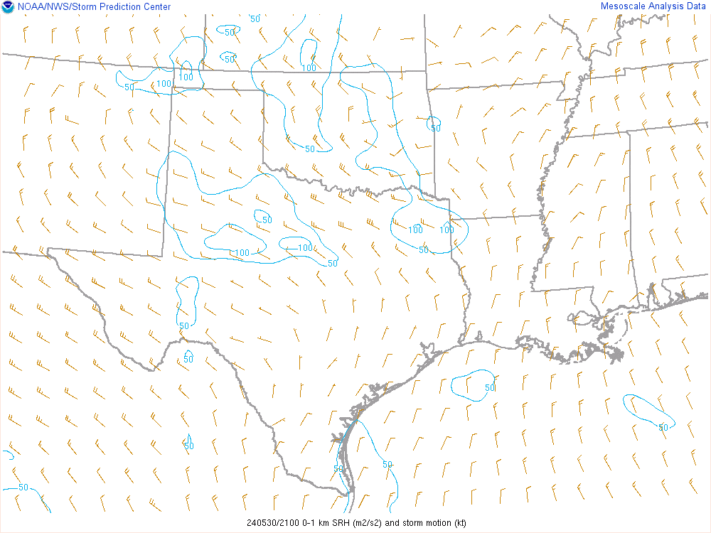
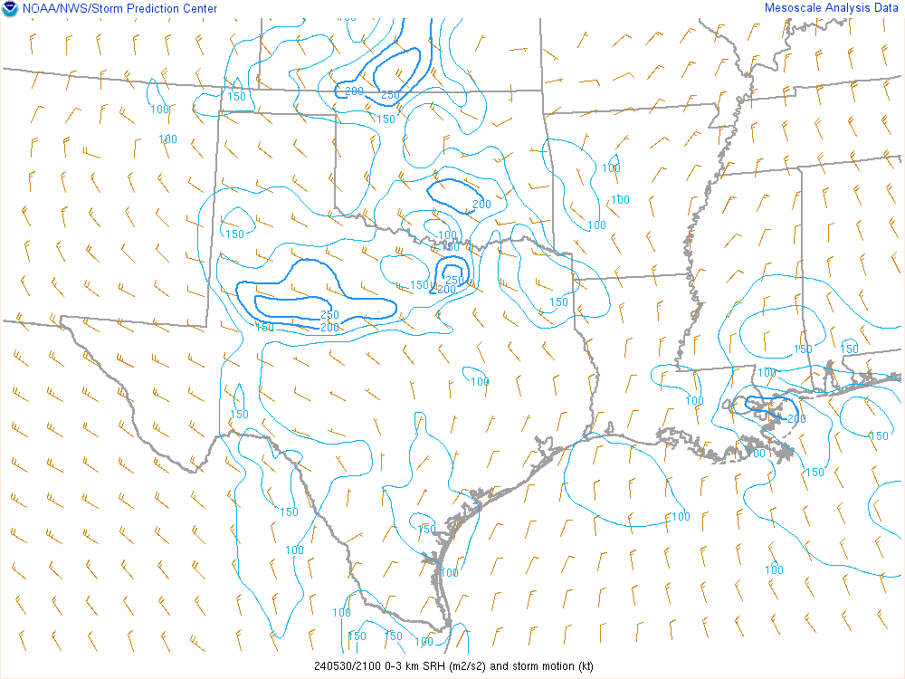
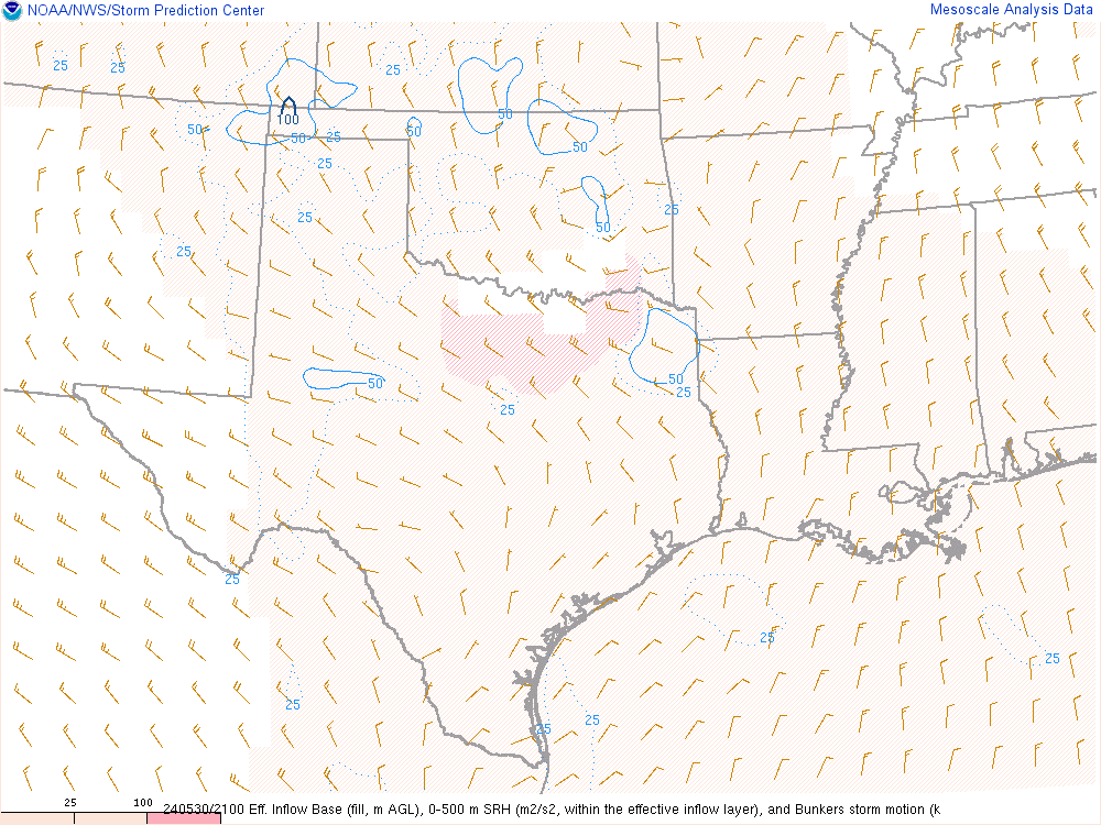
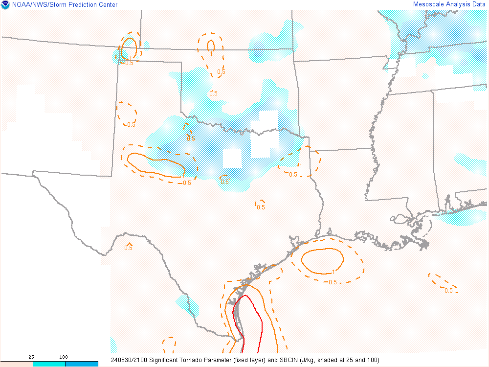
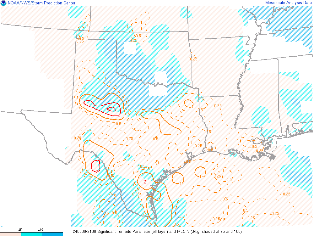
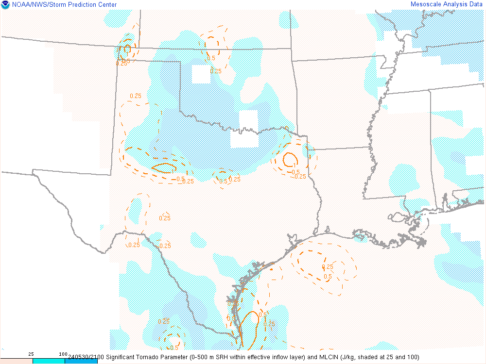
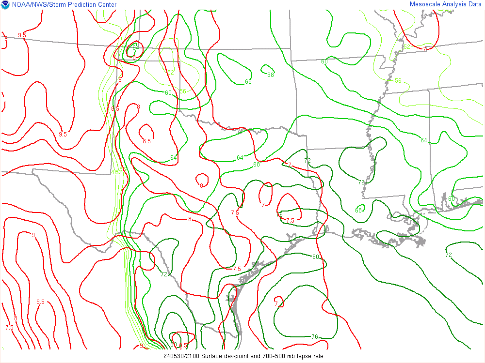
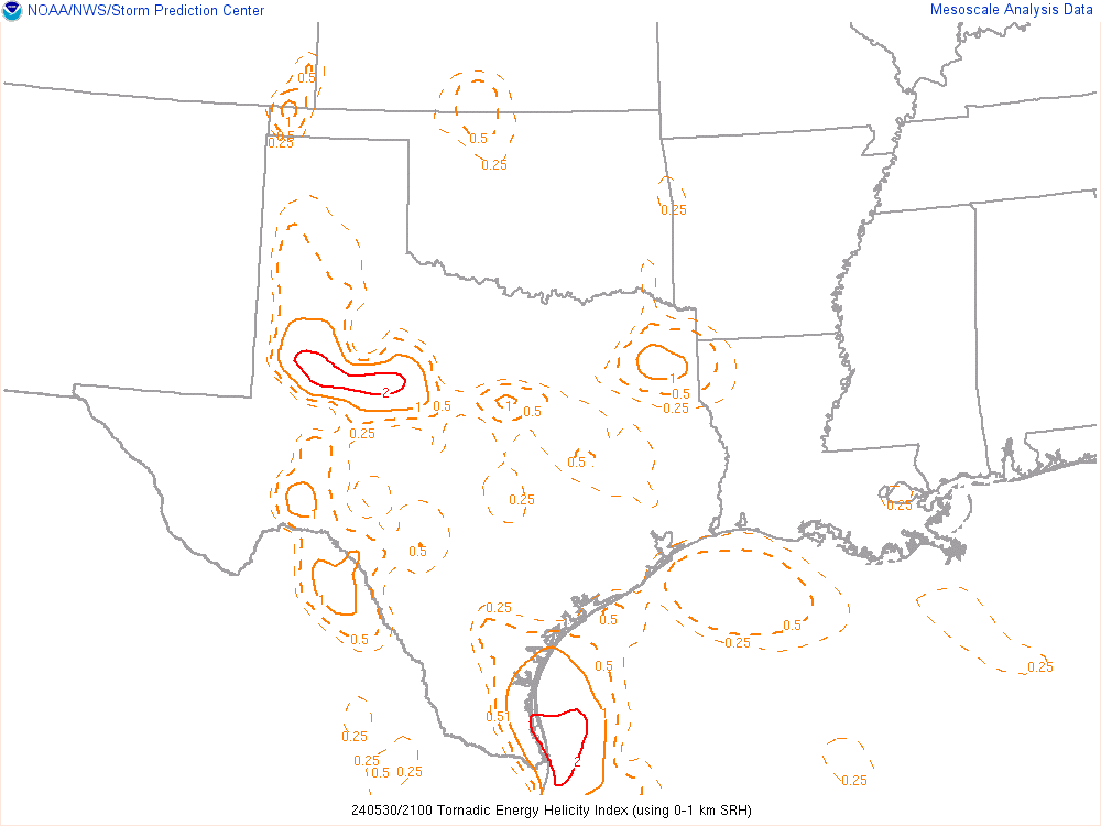
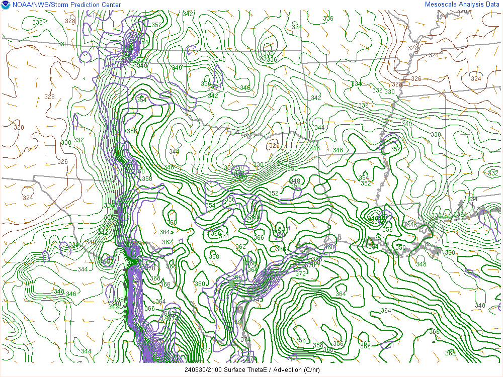
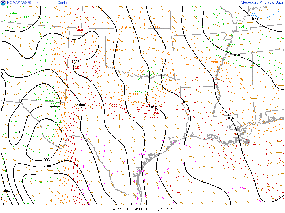
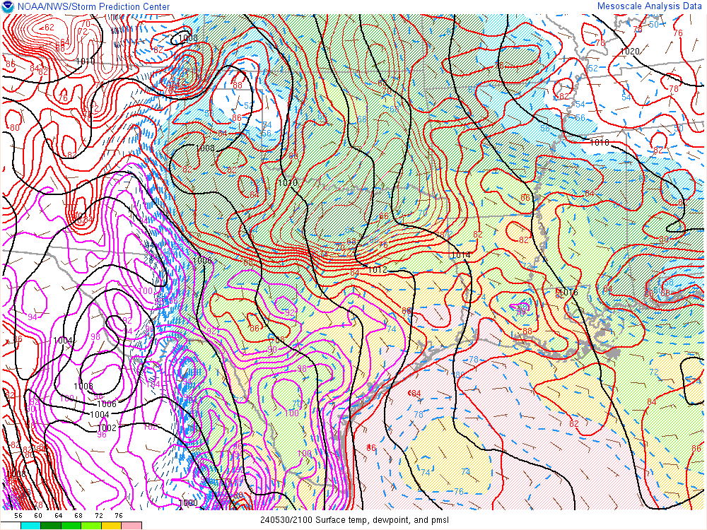
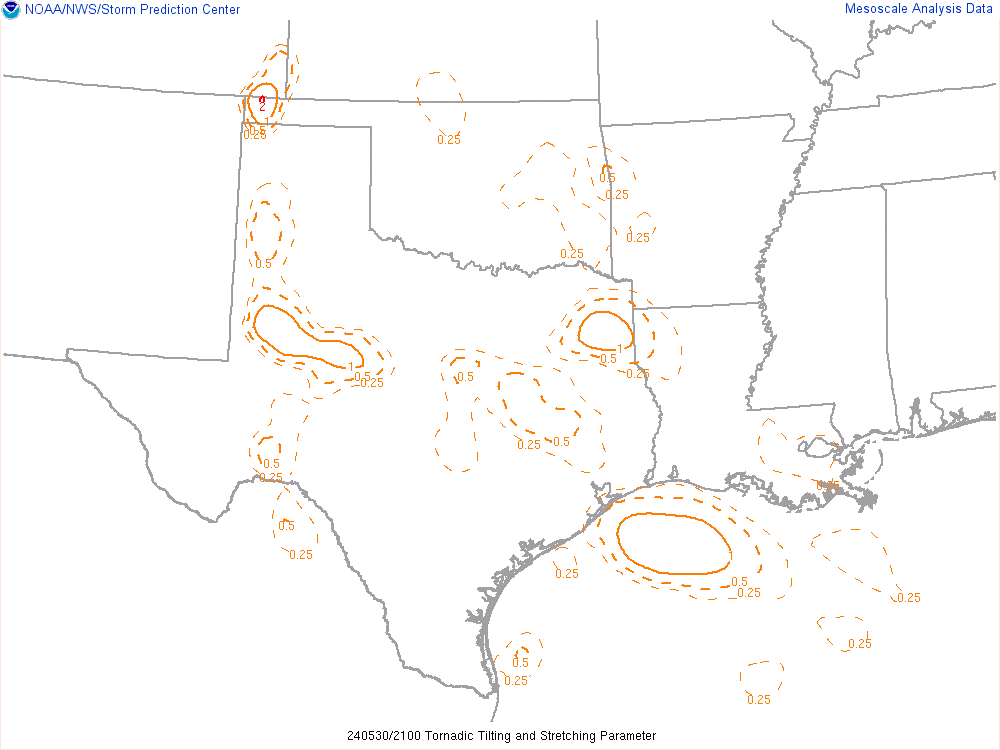
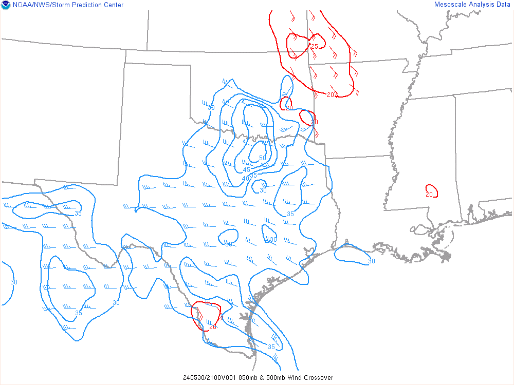
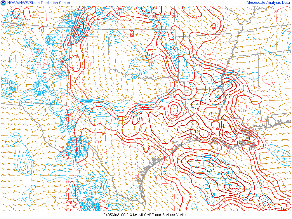
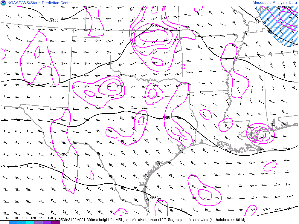
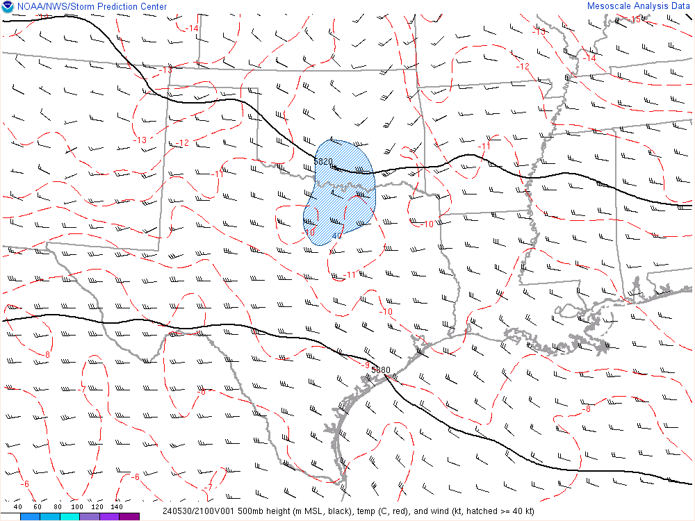
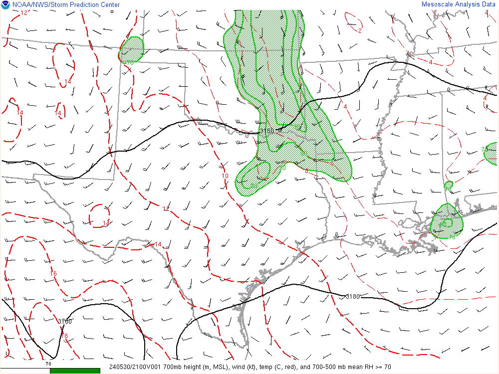
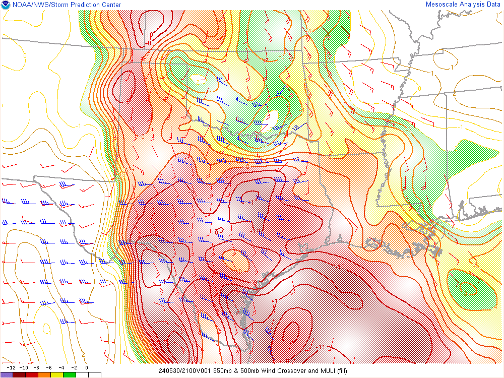
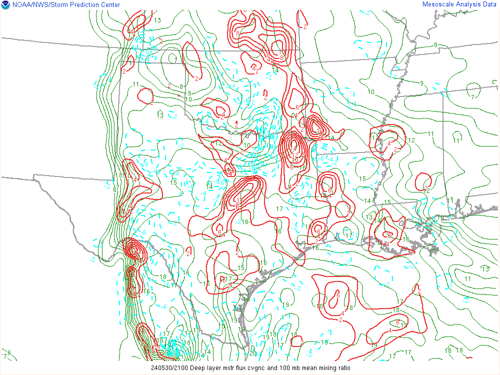
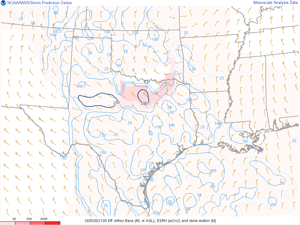
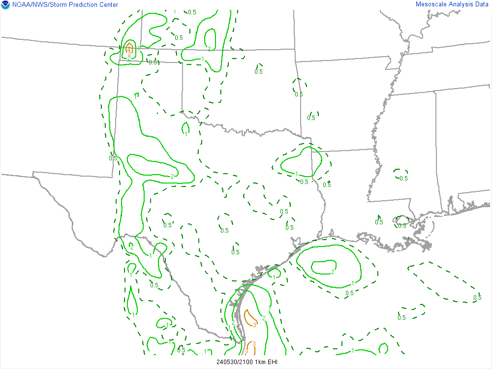
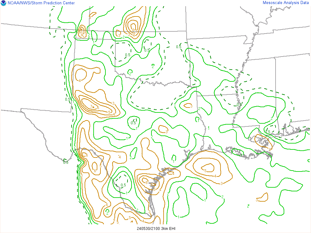
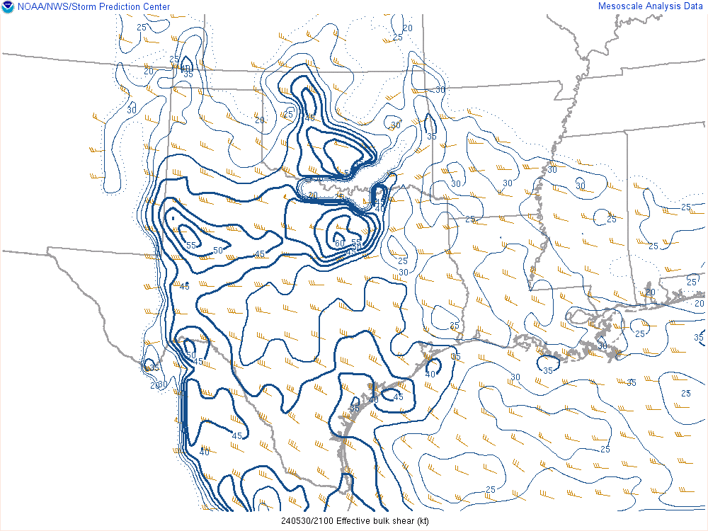
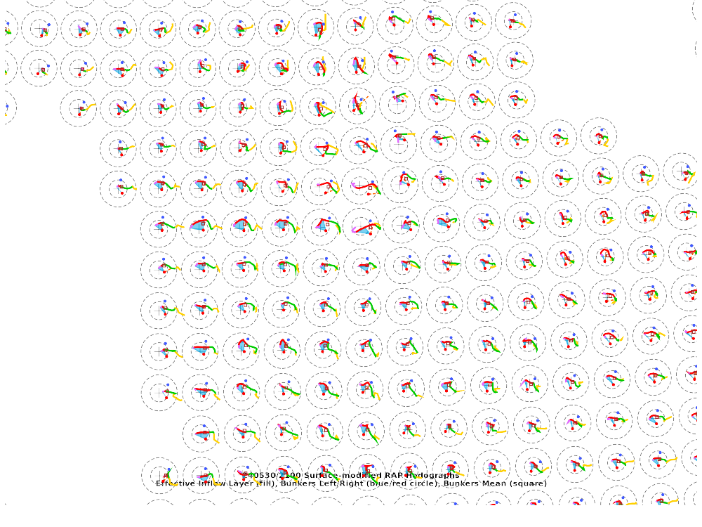
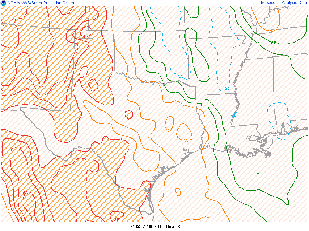
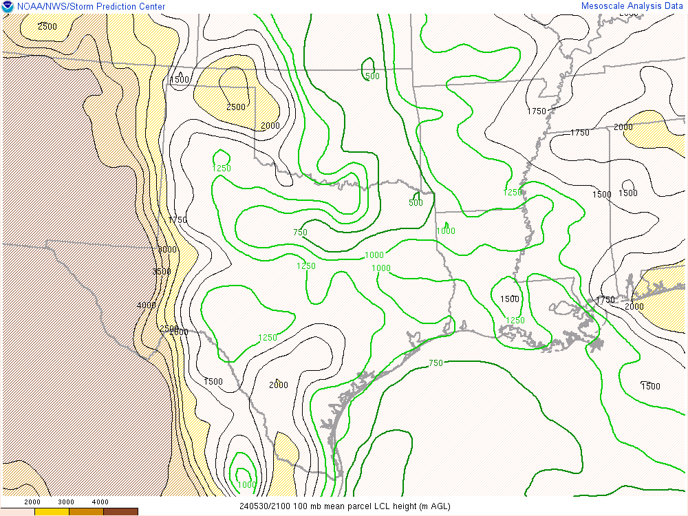
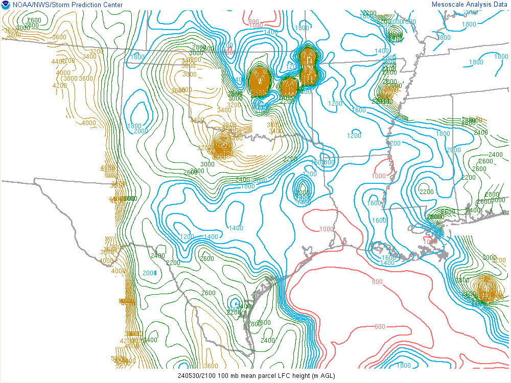
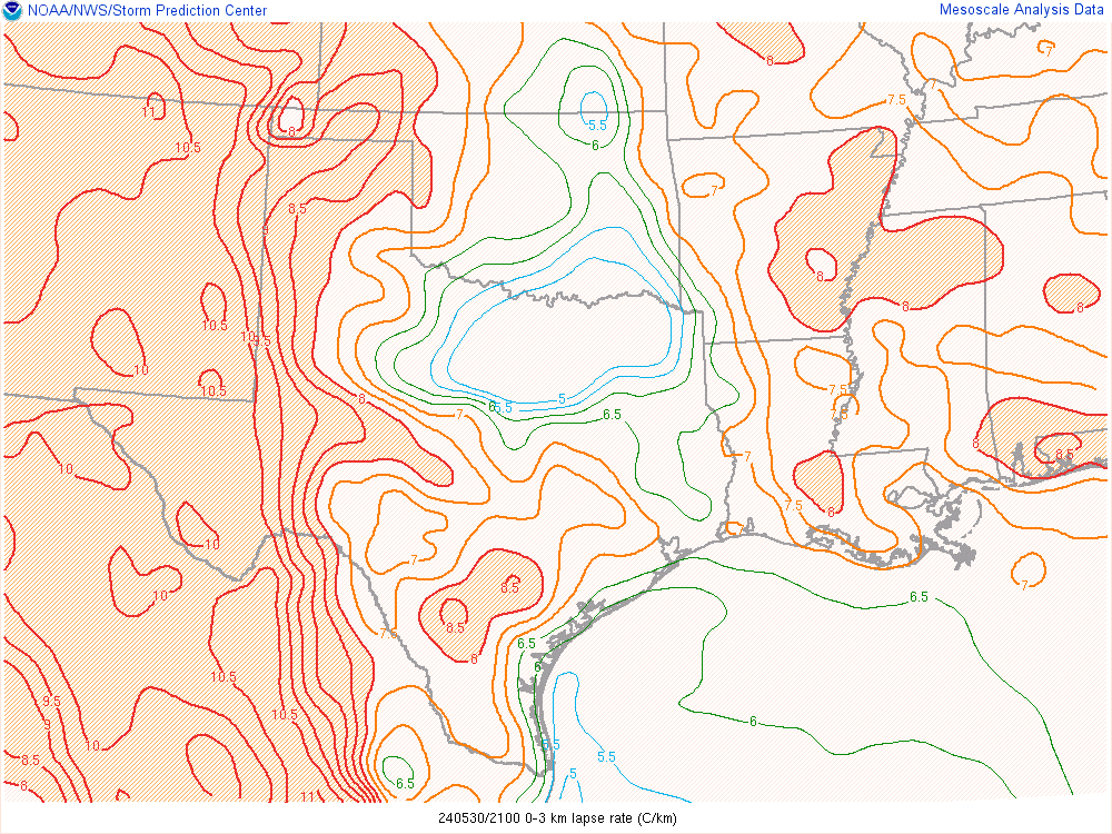
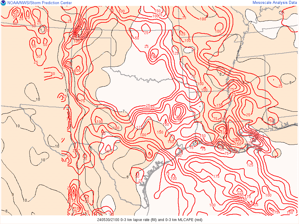
21Z Mesoanalysis
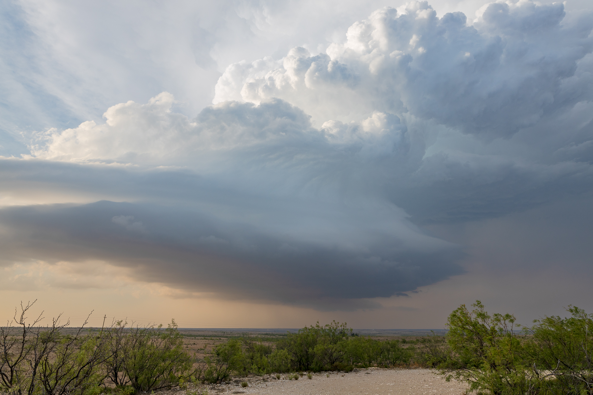
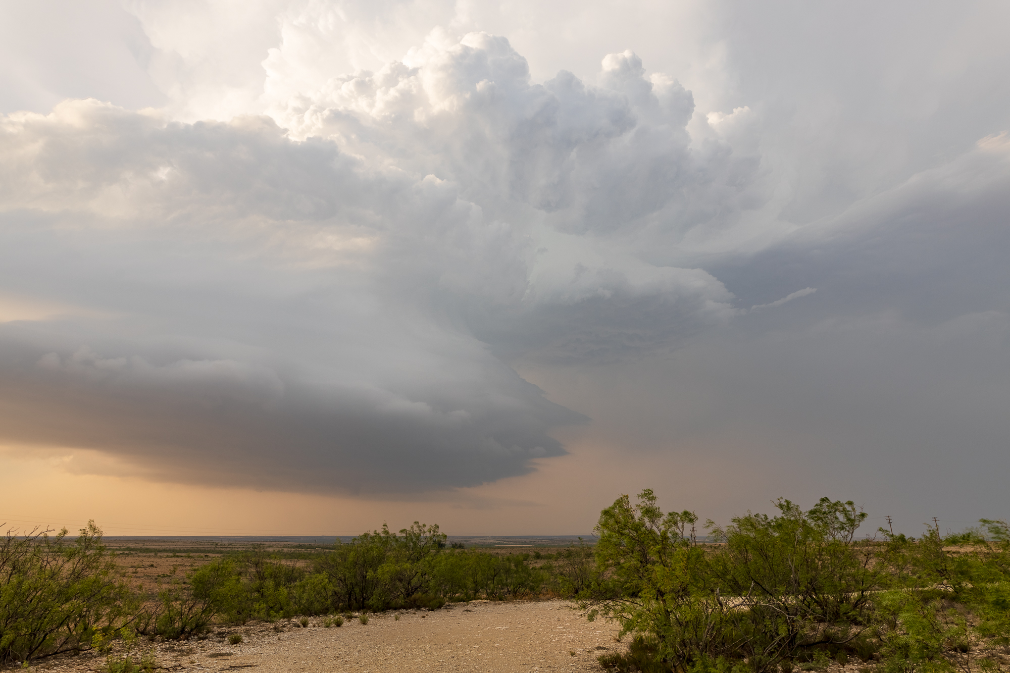
Storm south of Midland
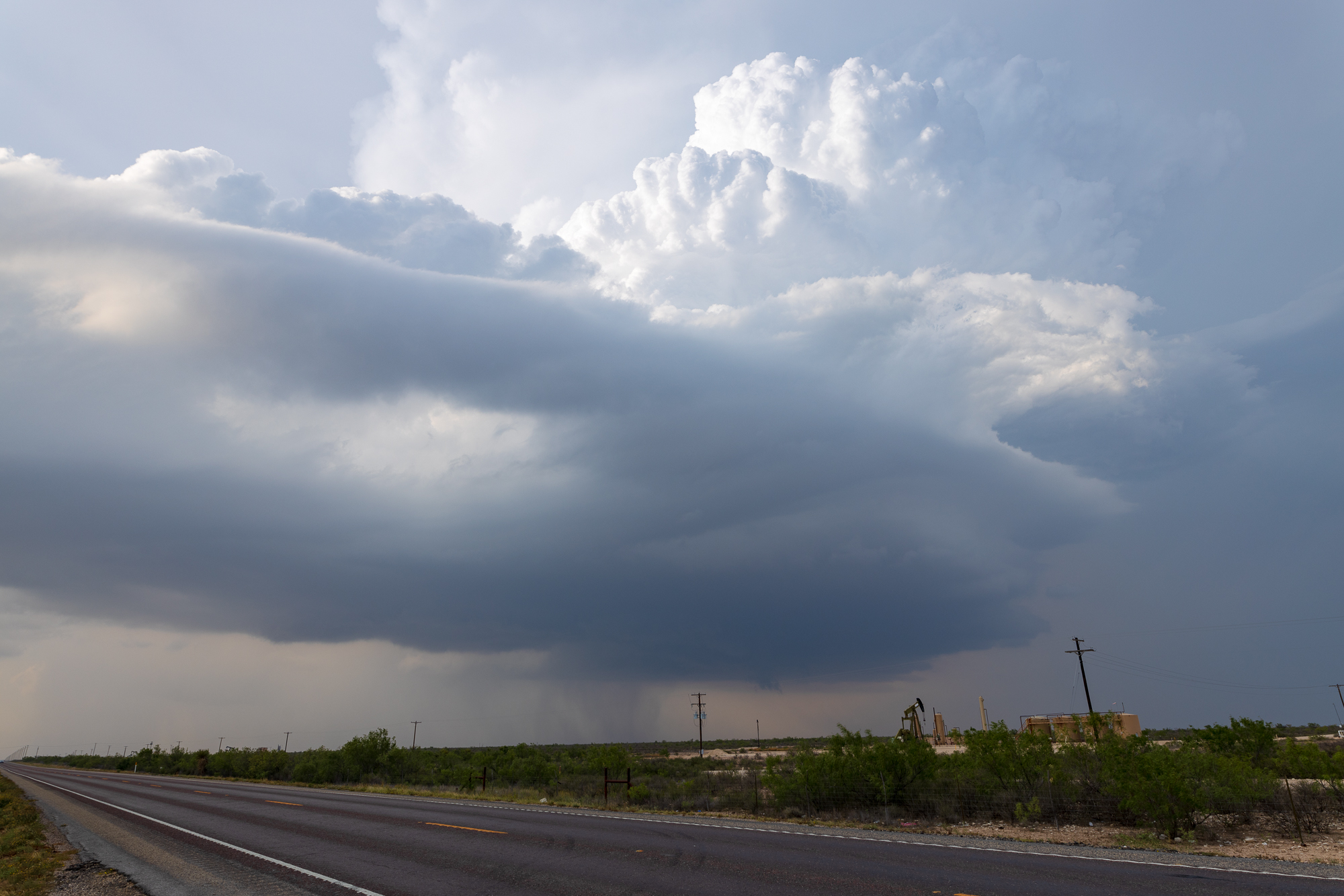
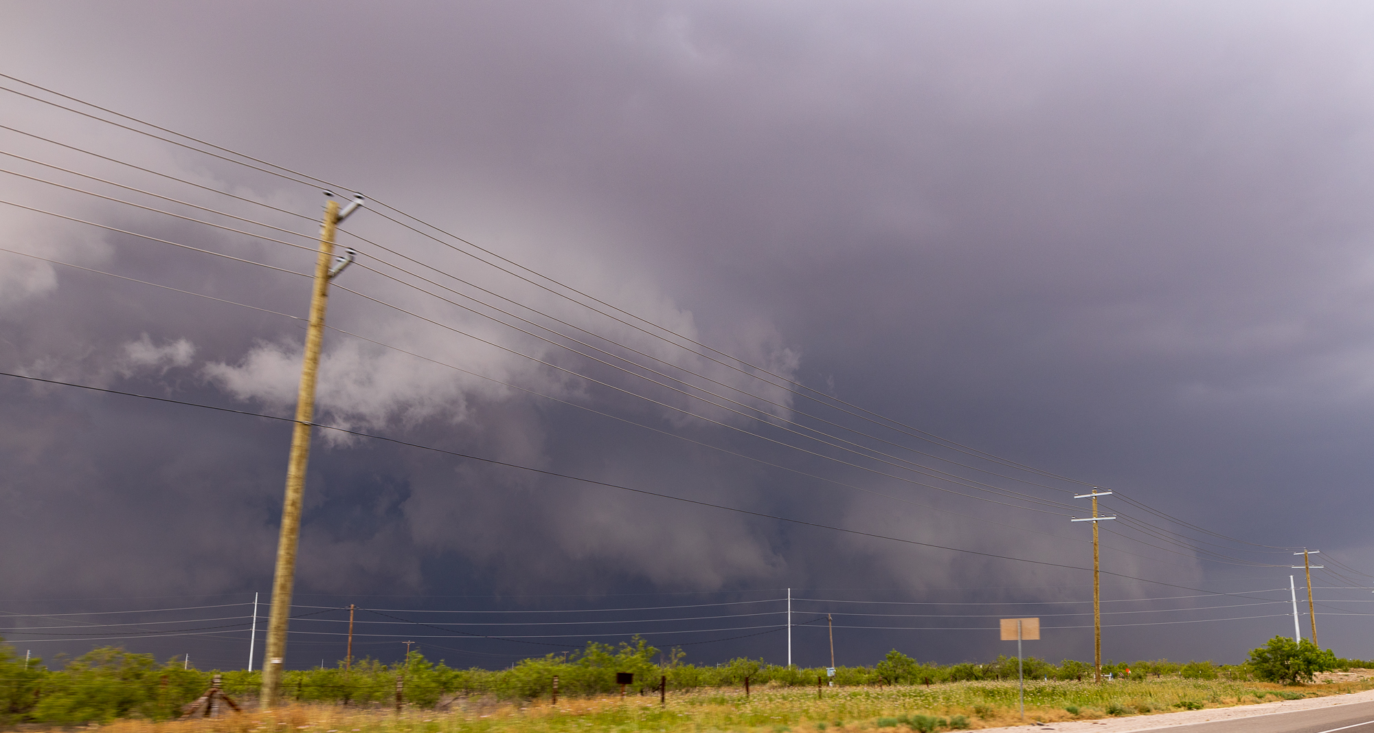
I finally found myself in position on that storm south of Midland. I observed a very large wall cloud/updraft area with a strong inflow. I would record this video before being overtaken by precipitation.
Unfortunately, the road options were next to nothing. I was on FM1787 and had 2 options, TX349 or FM1492 to continue with the storm moving south. I thought the storm was recycling with a further westward updraft, so I headed west to FM1492.
Dropping south
I headed west on FM1787 through some smaller hail to FM1492 before heading south. This would cut me off from the storm at this point as it continued to remain east of the road.
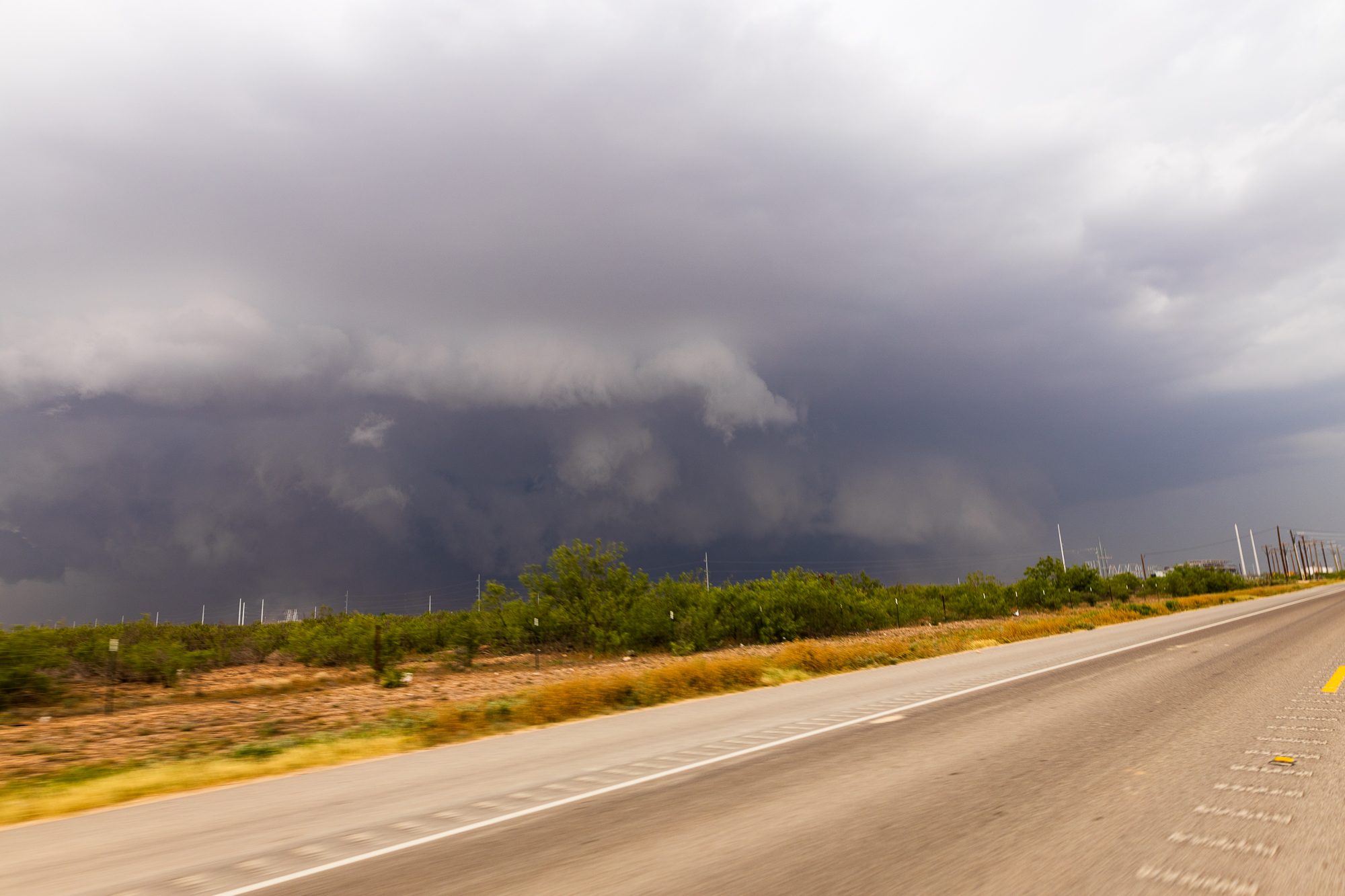
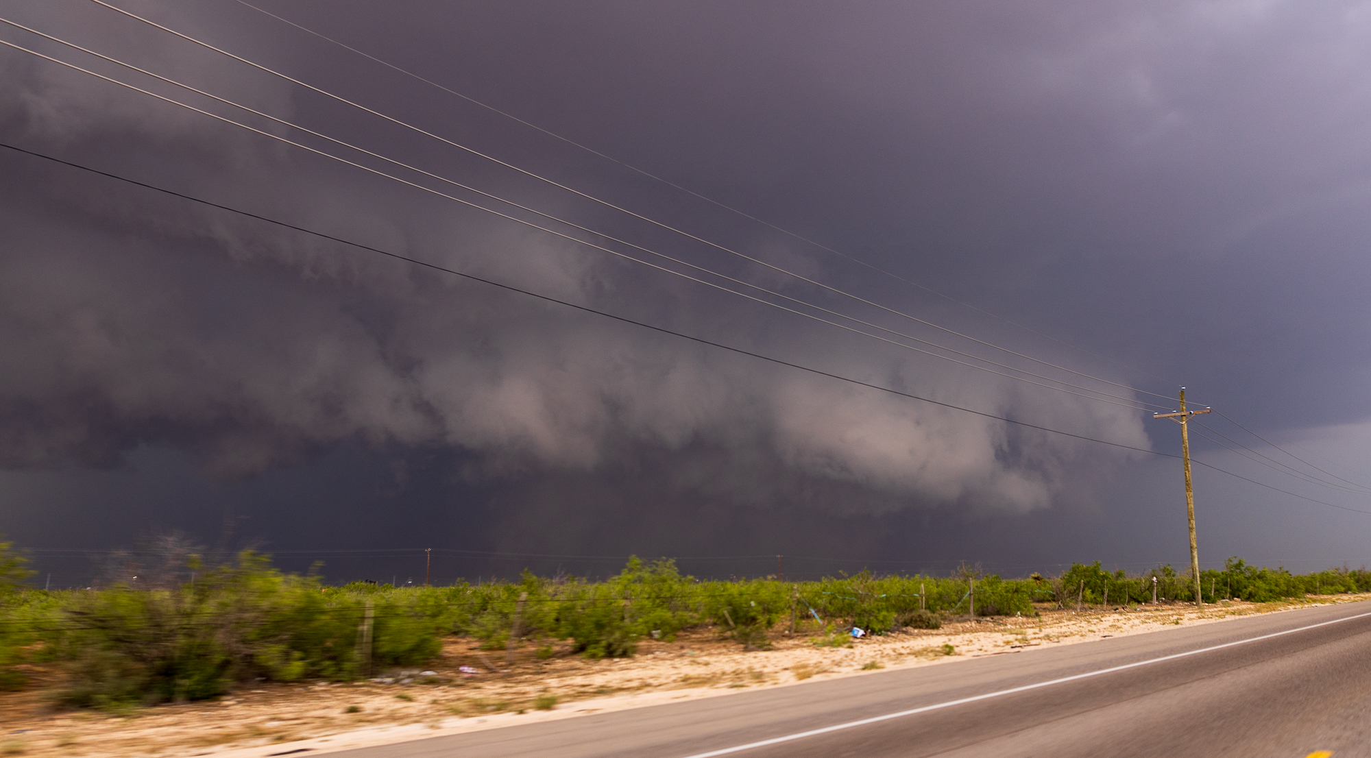
Stovepipe Tornado from a distance
While trying to navigate the back roads of the storm, I was able to catch the tornado from a distance. It looks like it was a nice stovepipe. Should have stayed east.
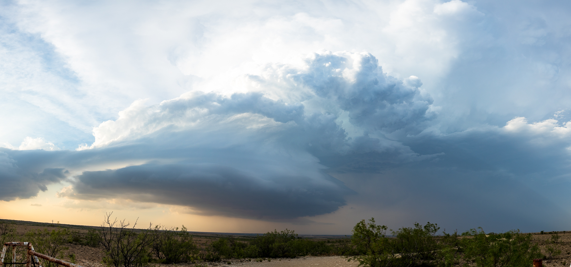
Structure and storm degradation
As I continued south, the storm became very pretty structured. Shawn and Hannah and others showed up and we chatted on the side of the road while watching the storm degrade. Eventually I bailed off to head home.