Storm Chase Details
Miles Logged: 529
States Chased: OK, TX
Largest Hail Encountered: 1.50 in.
Highest Wind Encountered: 60 MPH
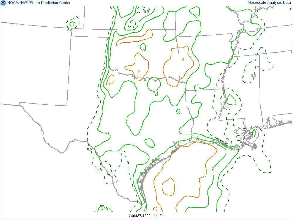
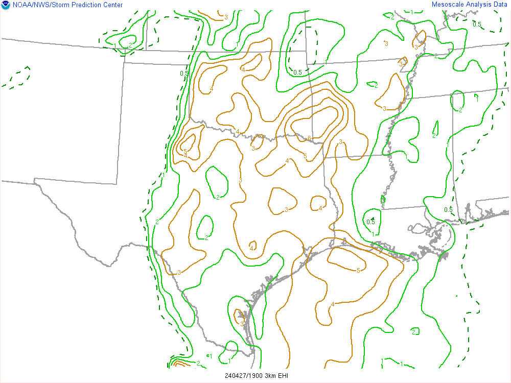
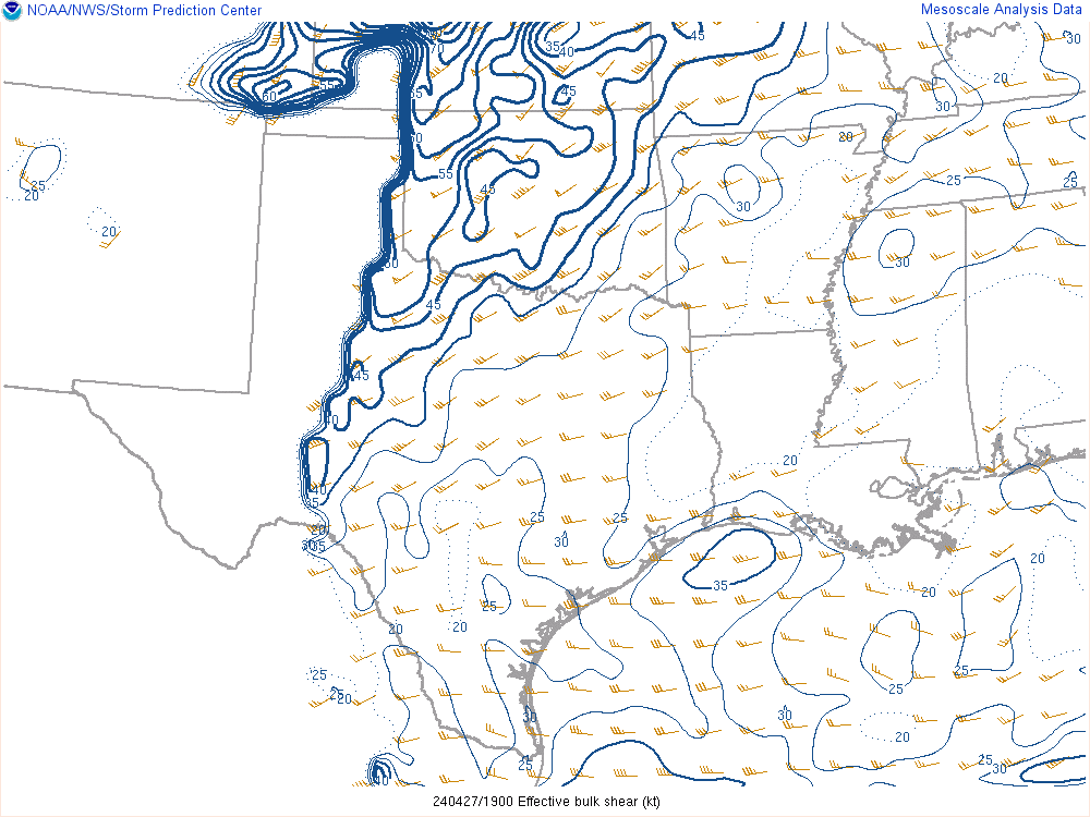
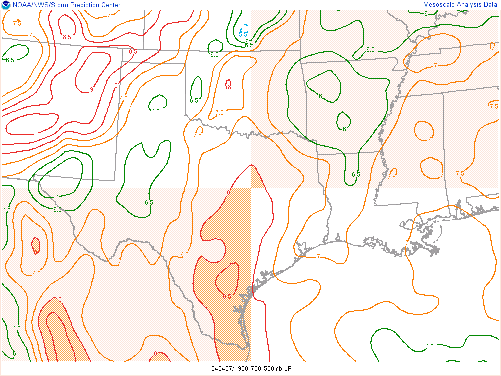
Severe Risks: SPC Outlooks
Severe Reports: Storm Reports
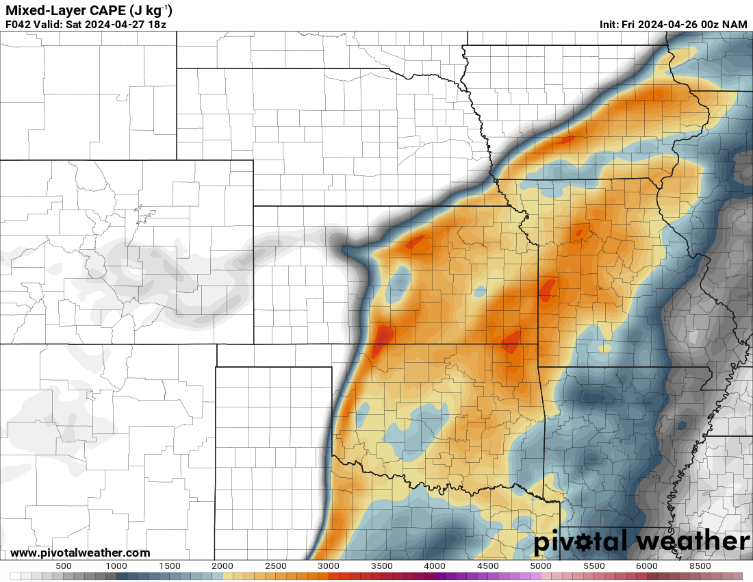
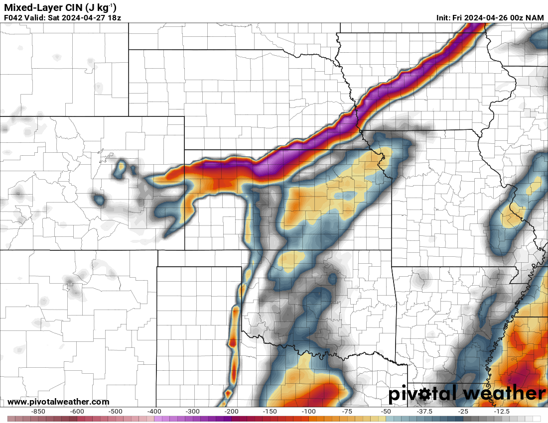
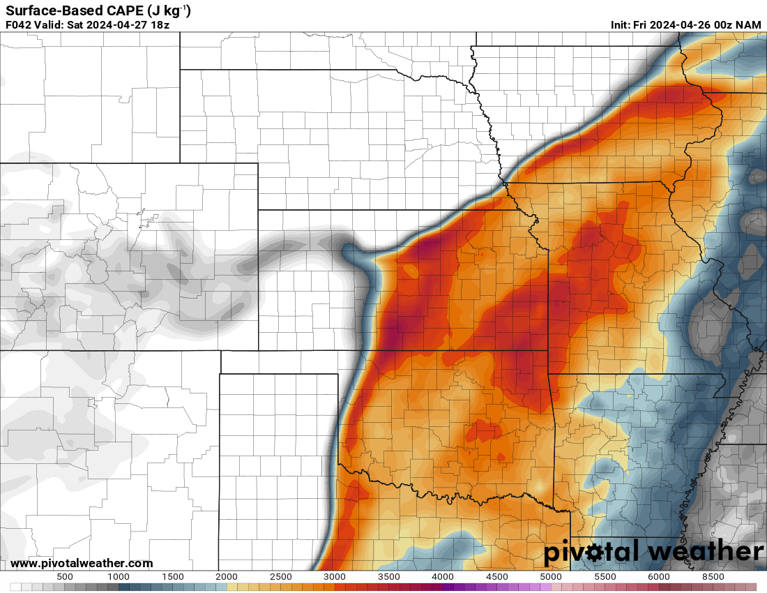
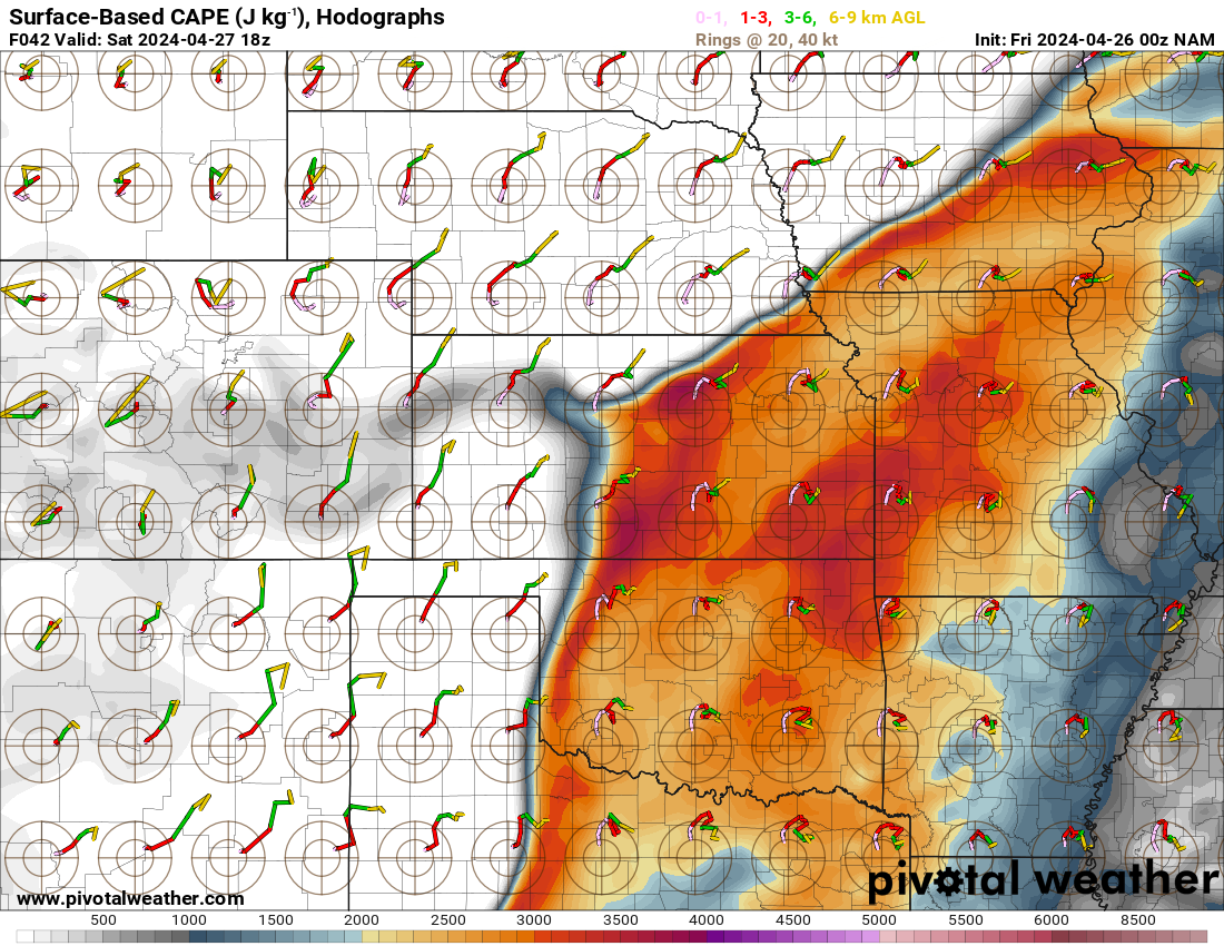
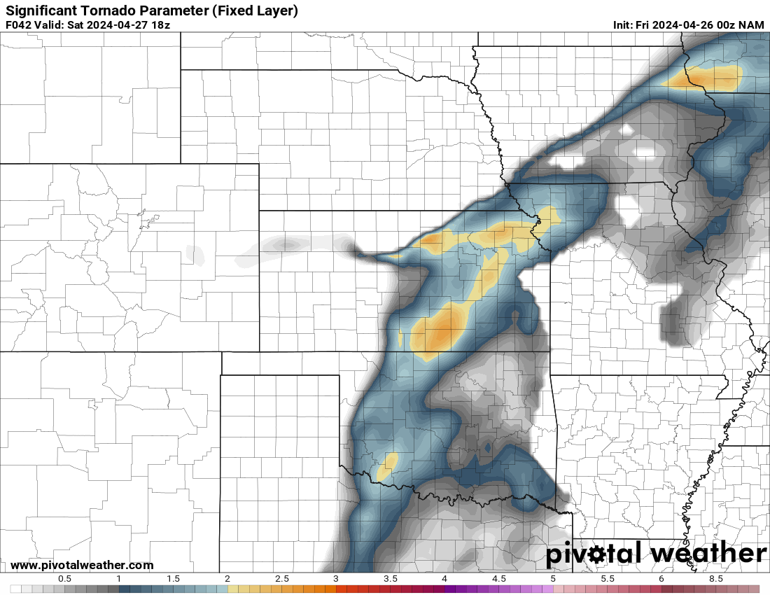
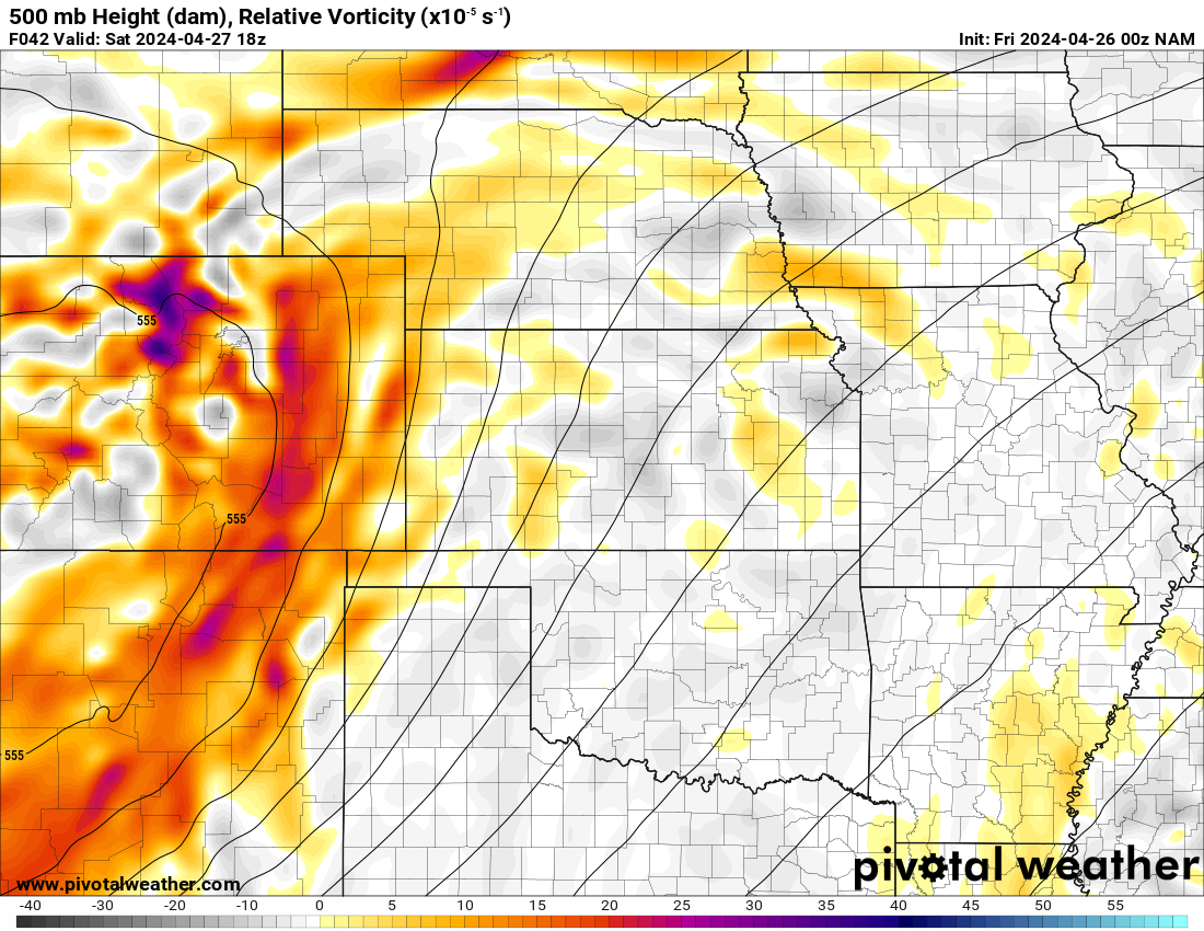
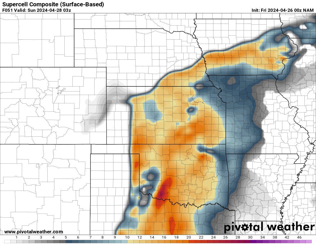
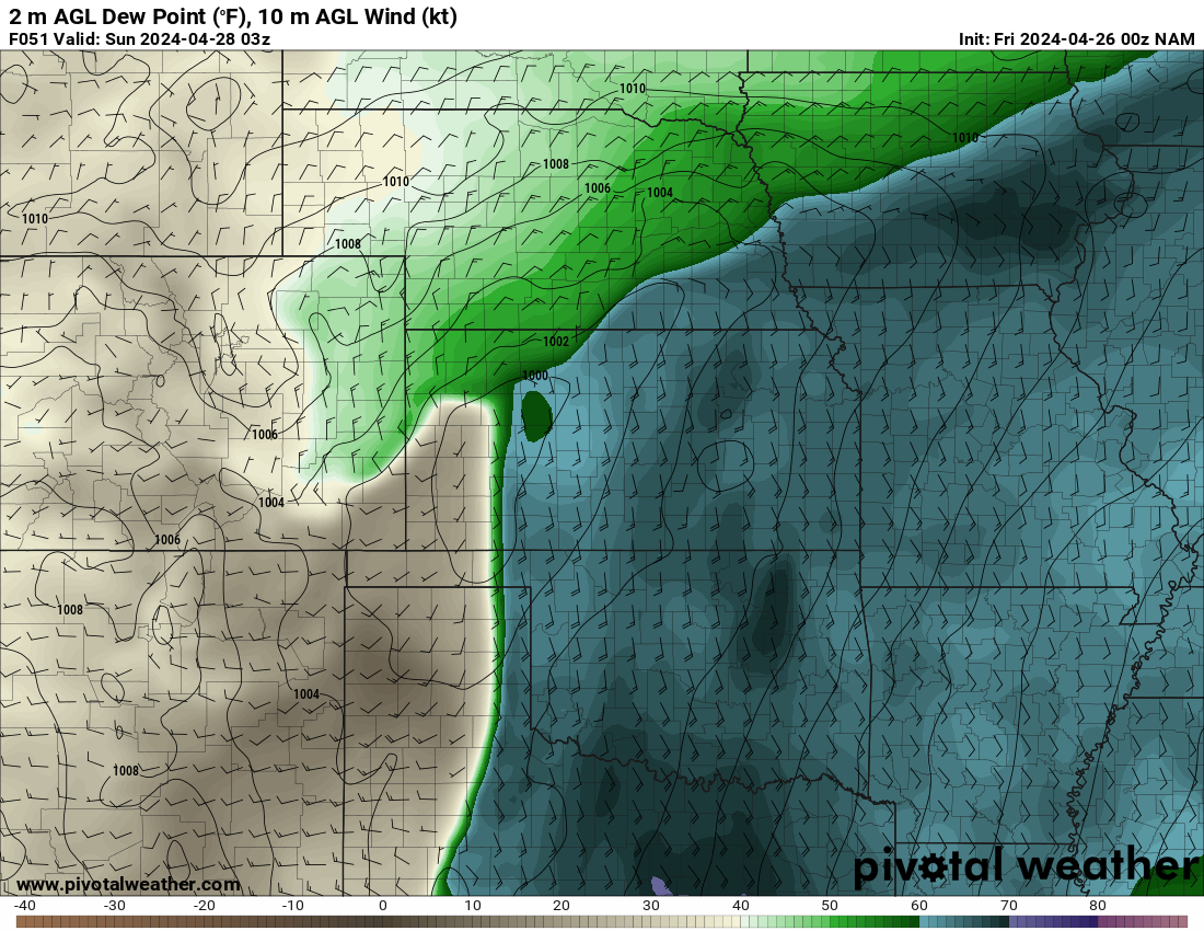
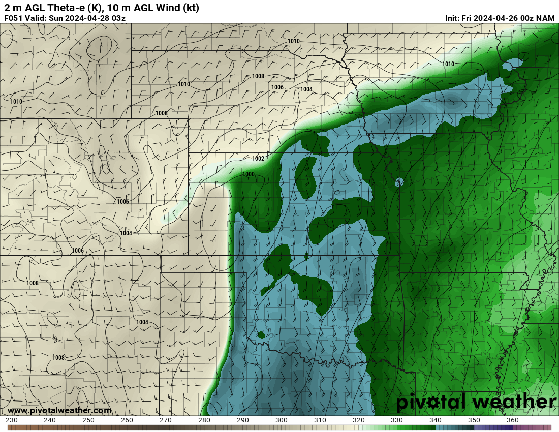
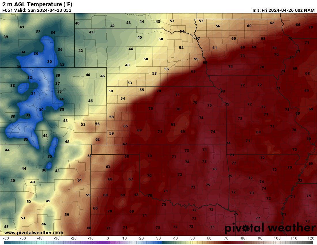
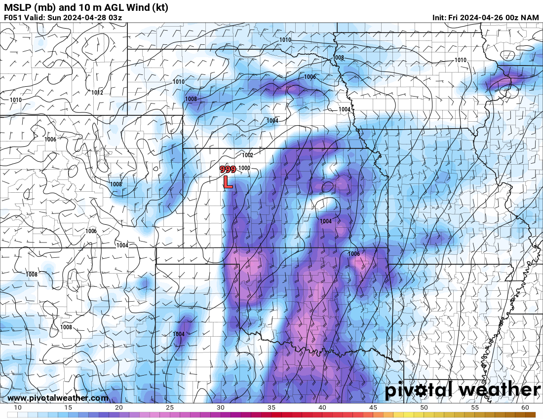
The 27th seemed like it would be a big day. SPC had gone Moderate/15% hatched tornado. I was expecting an upgrade to high risk, but this would be another failure on a high end day. After missing a big day the previous day in Iowa and Nebraska, I was hoping for some redemption on the 27th.
Forecast
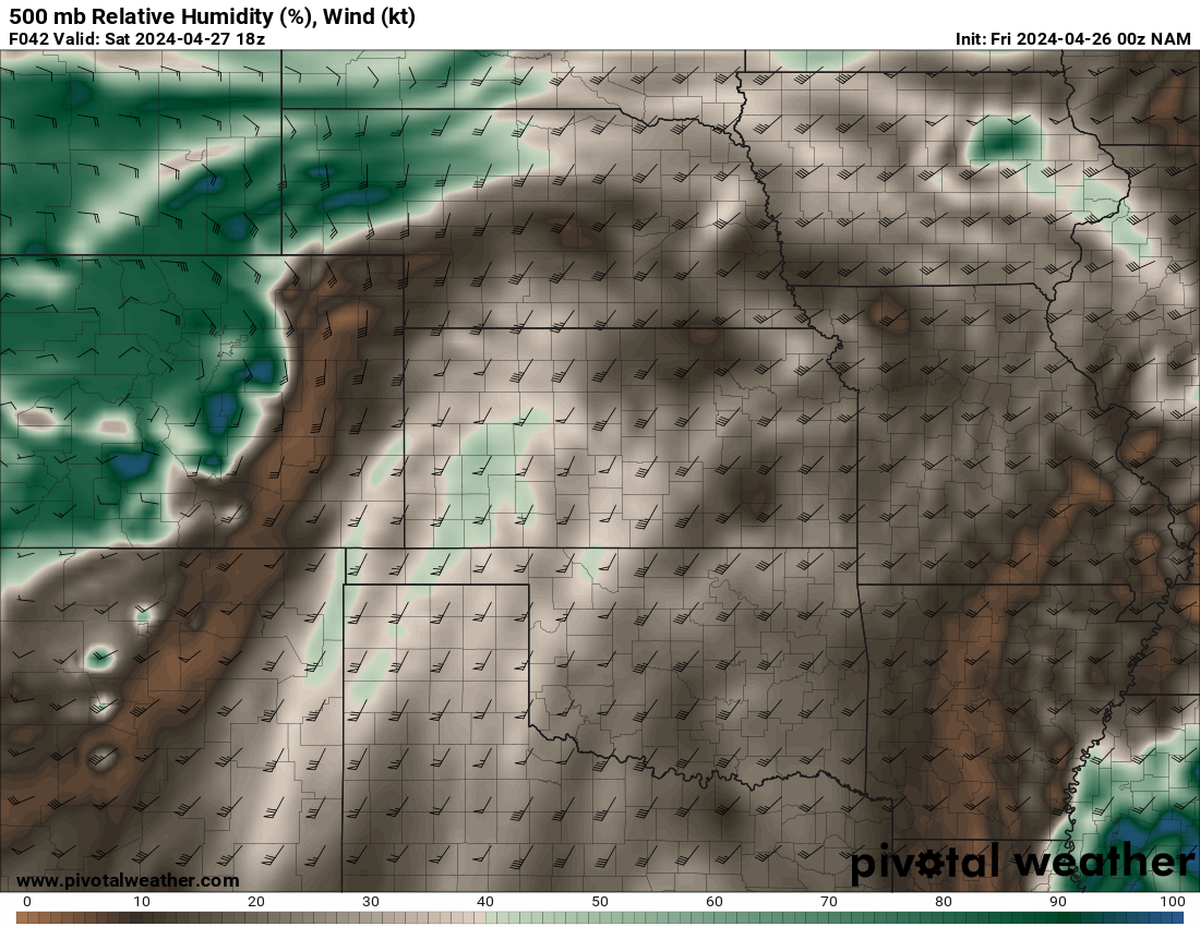
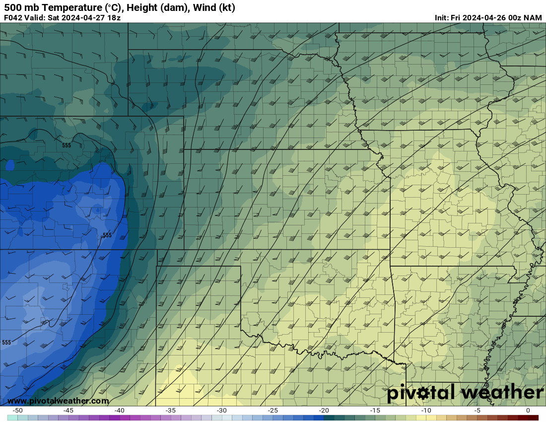
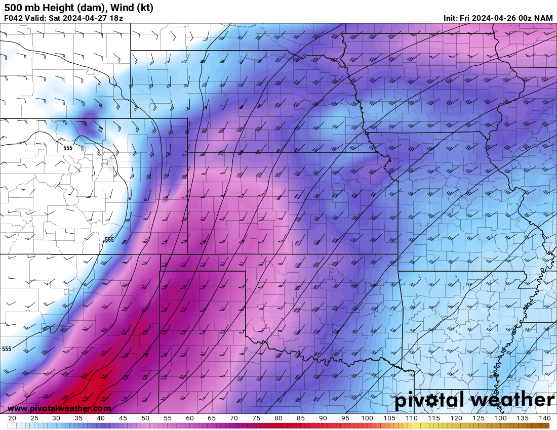
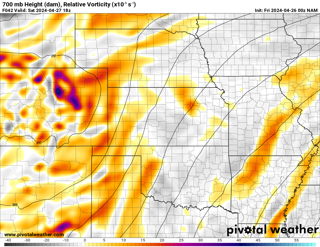
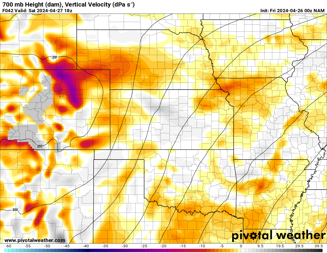
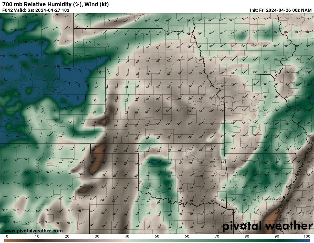
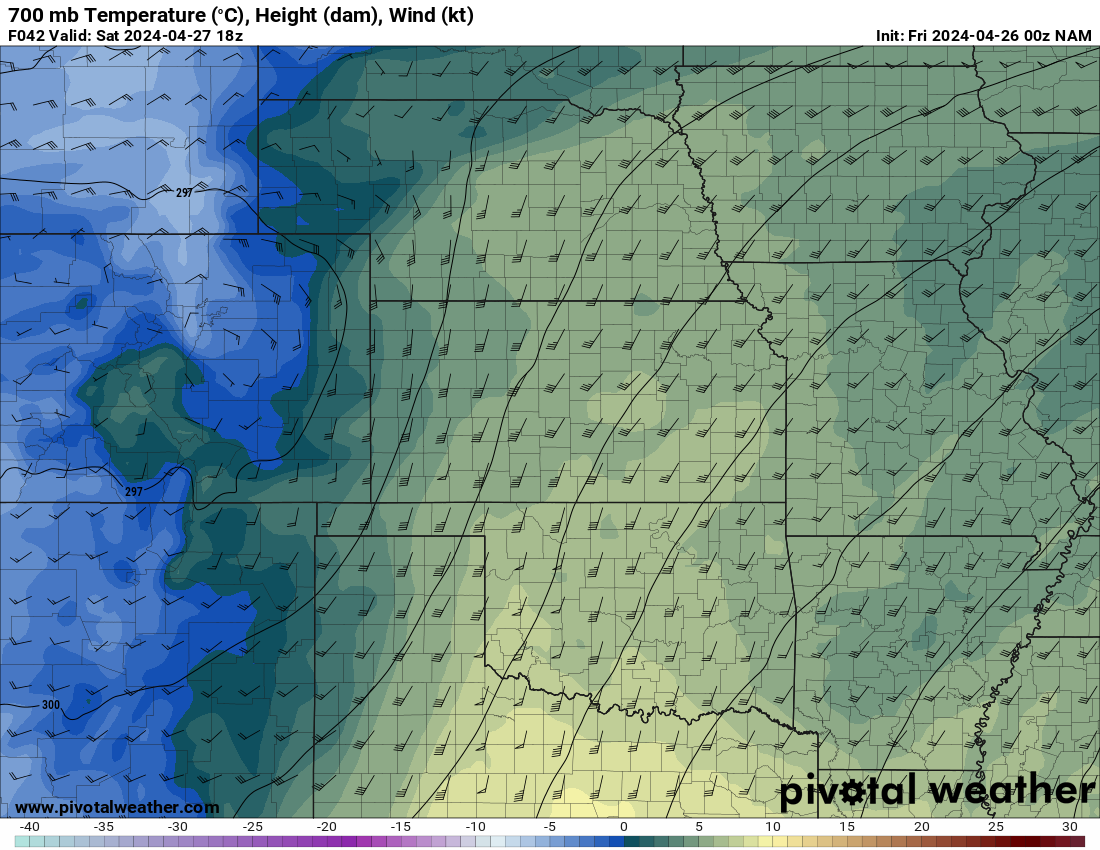
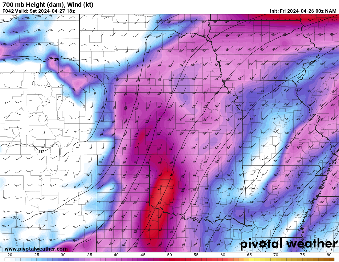
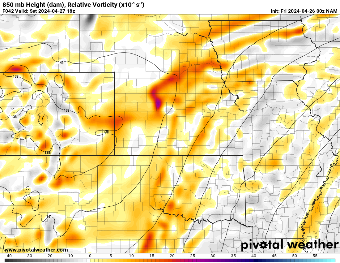
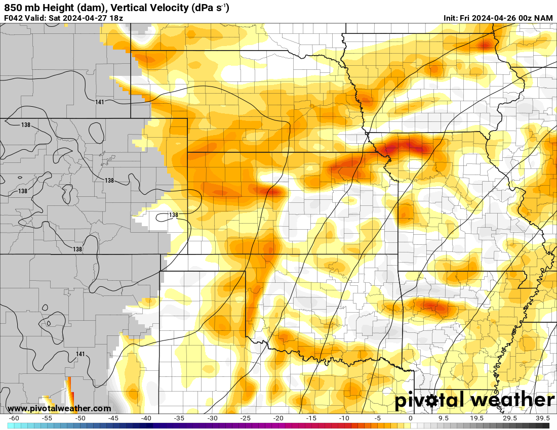
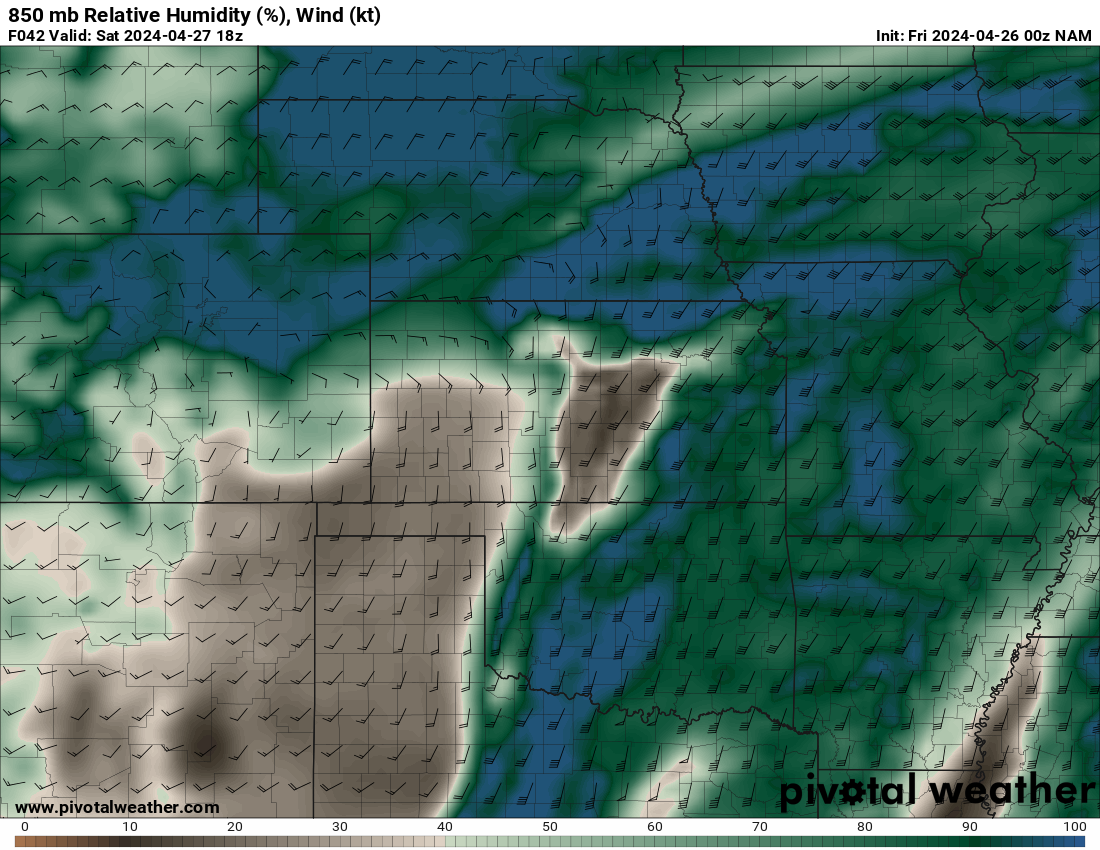
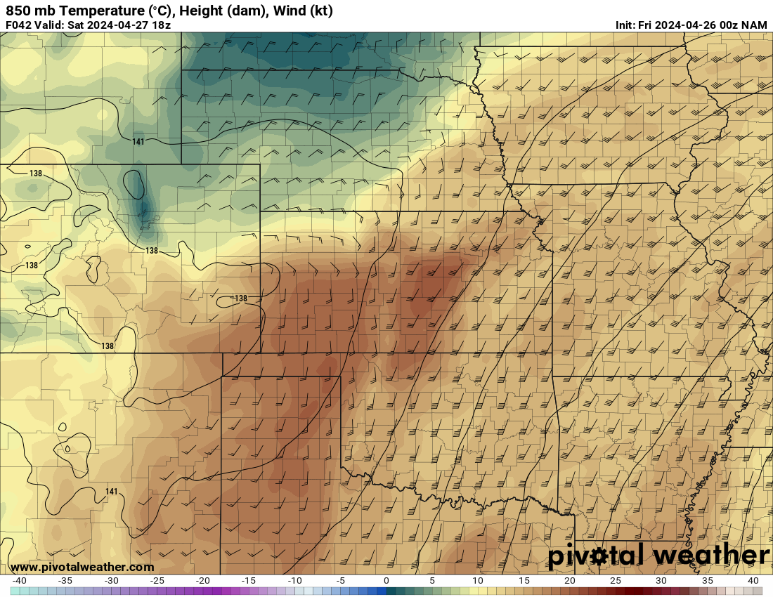
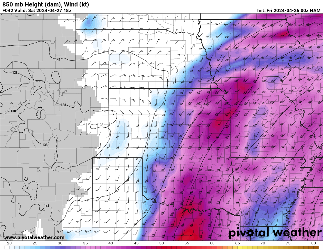
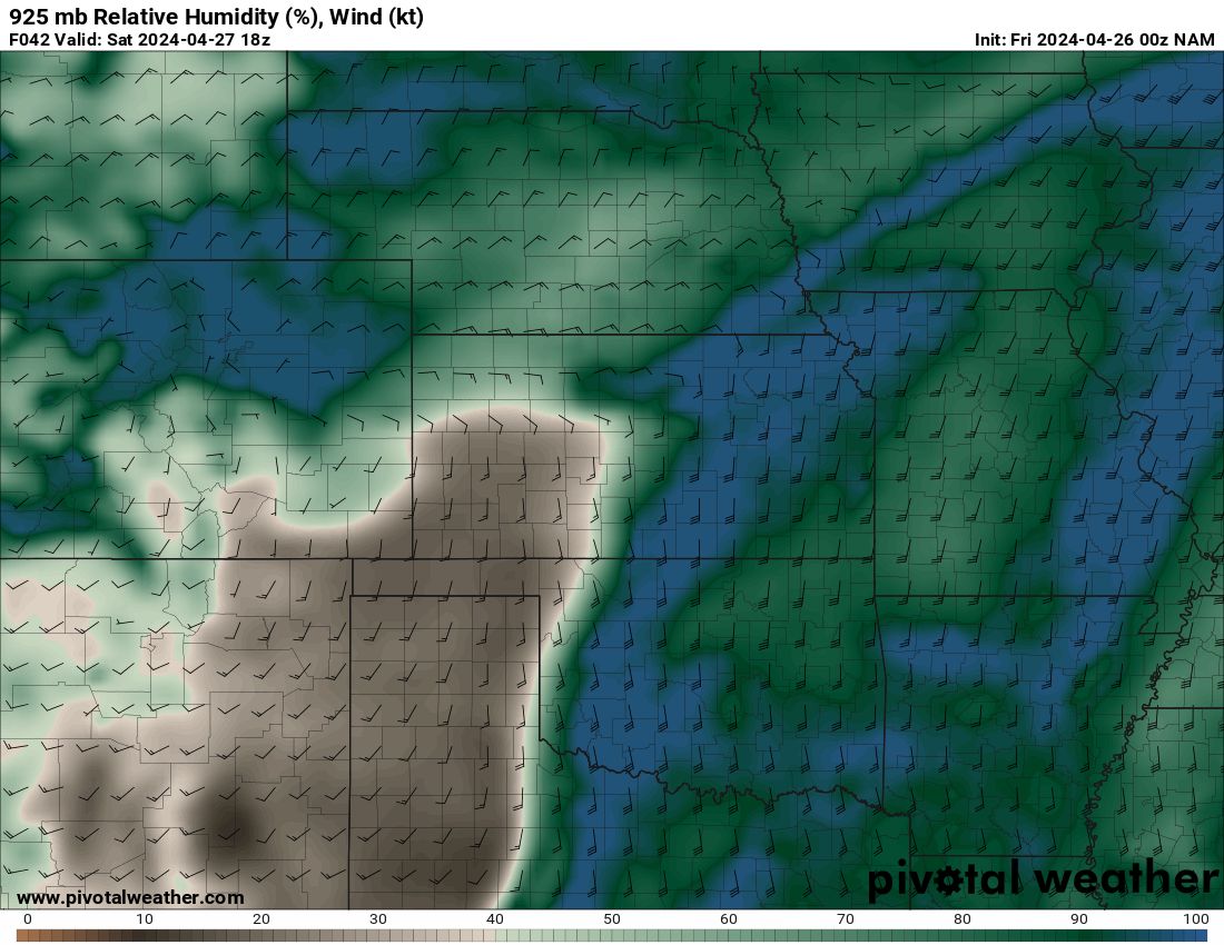
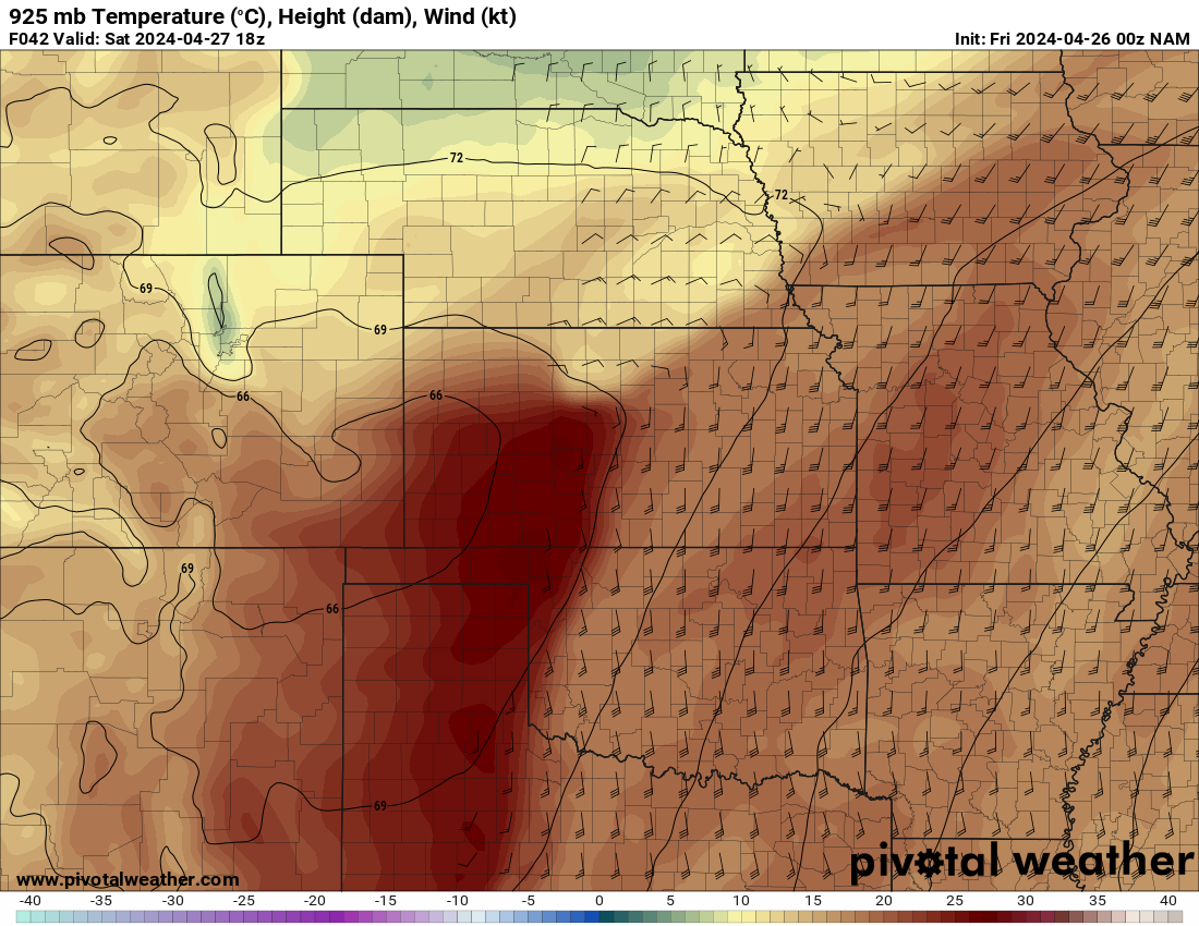
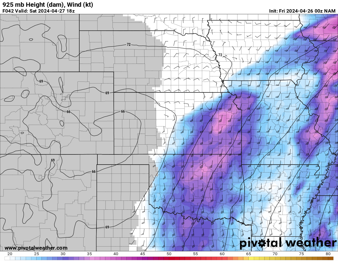
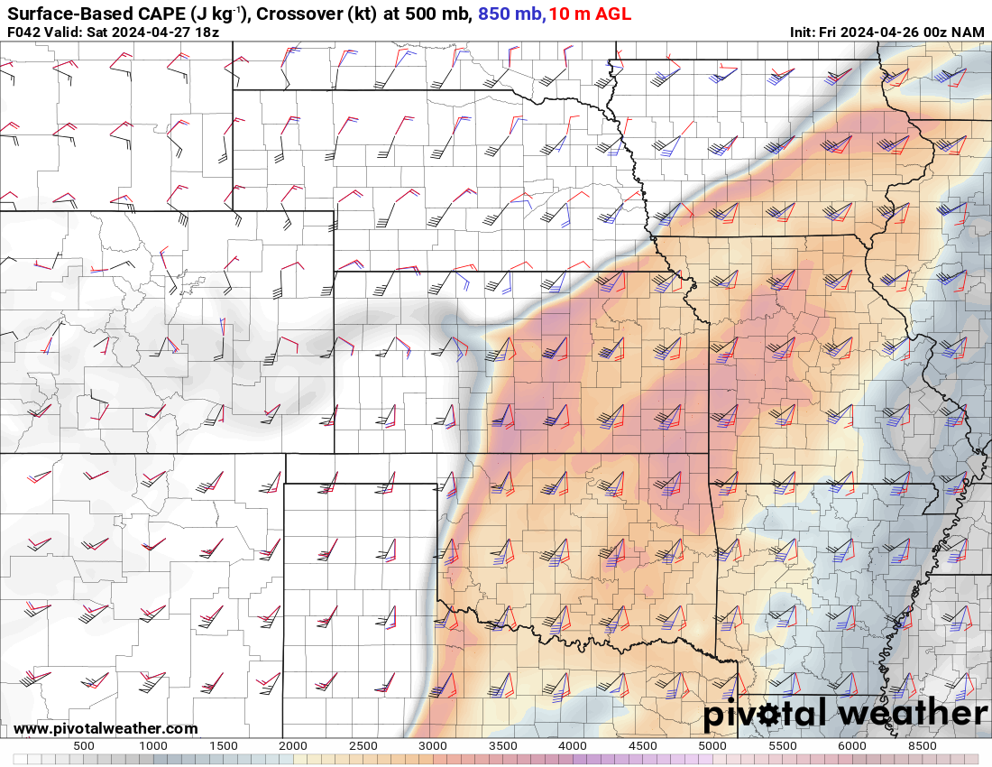
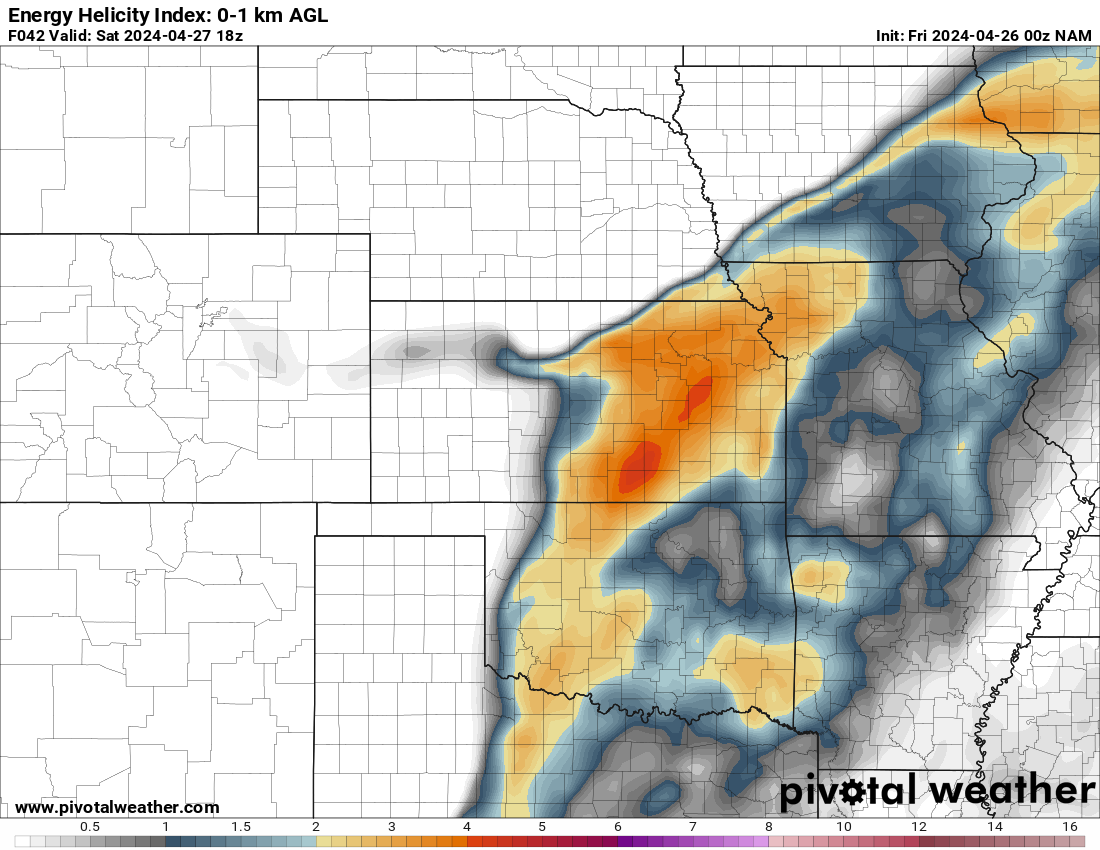
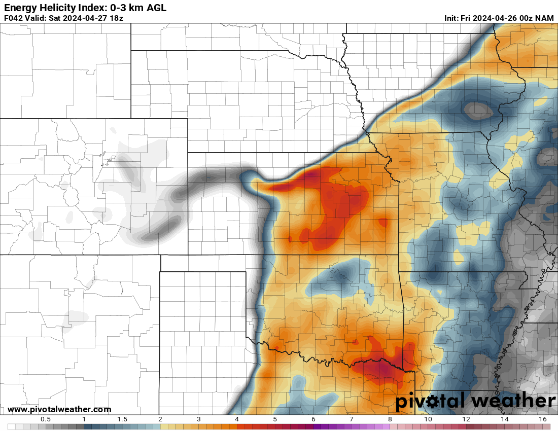
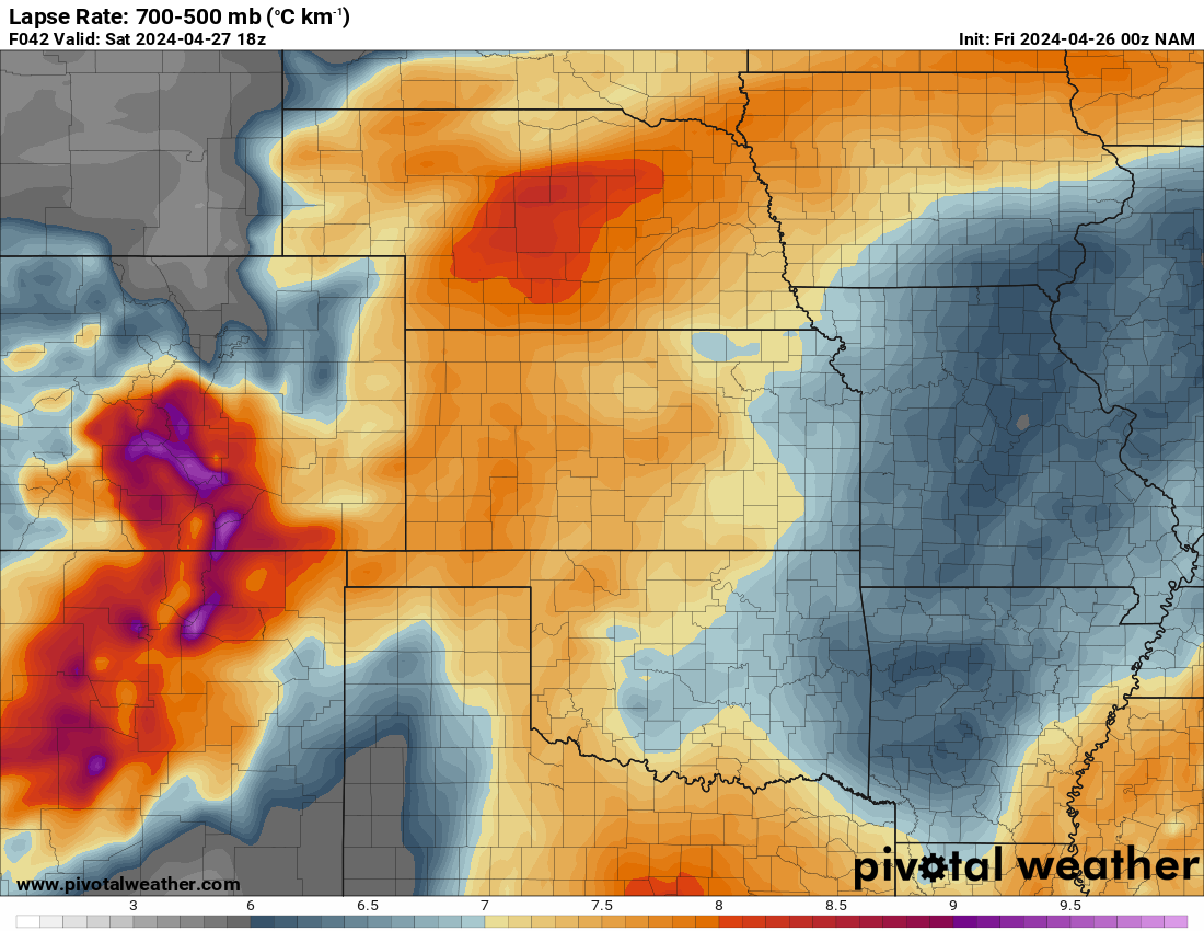
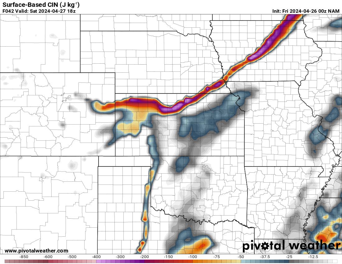
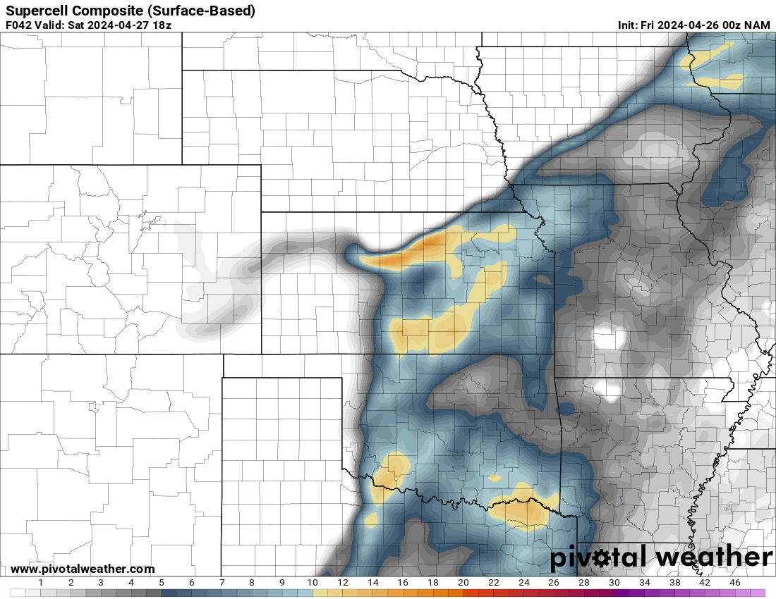
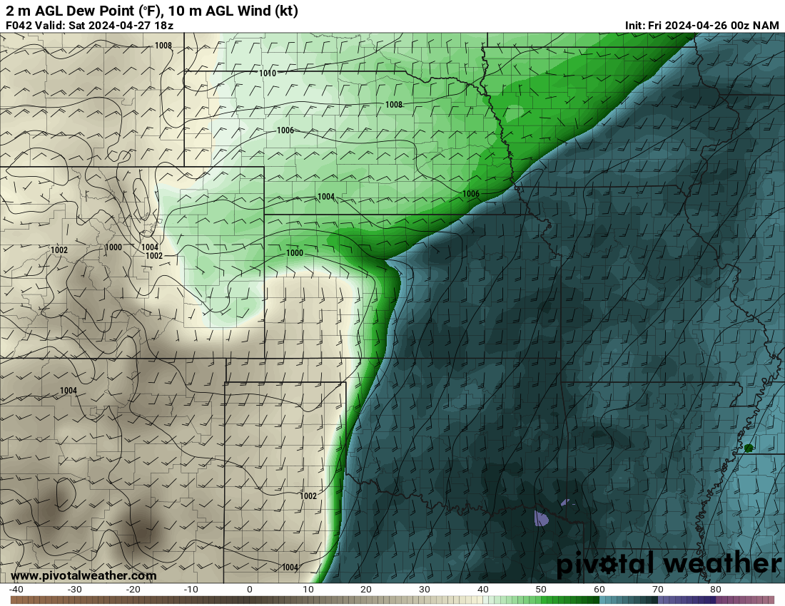
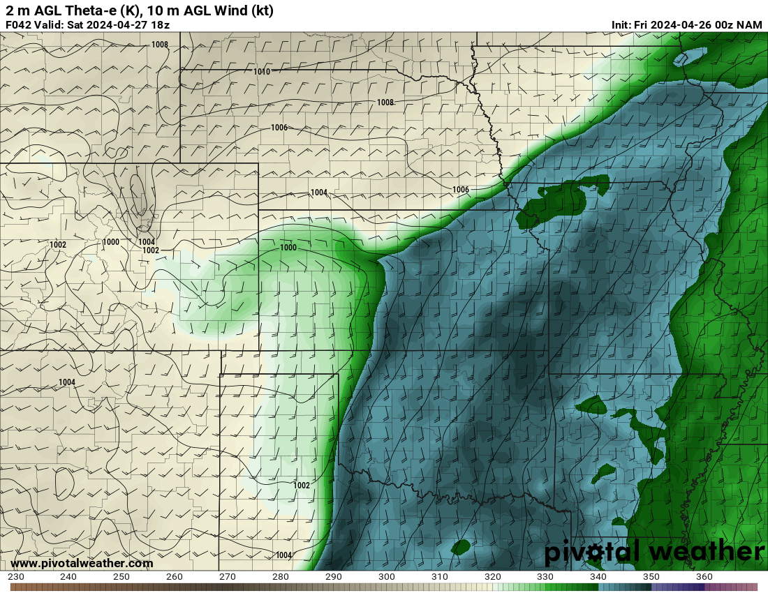
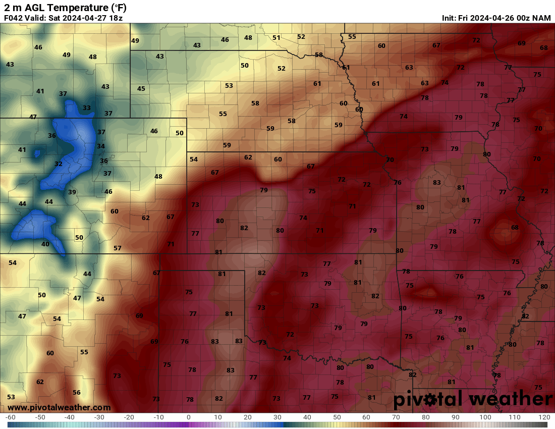
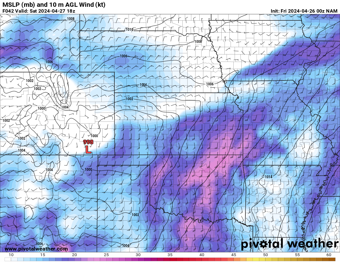
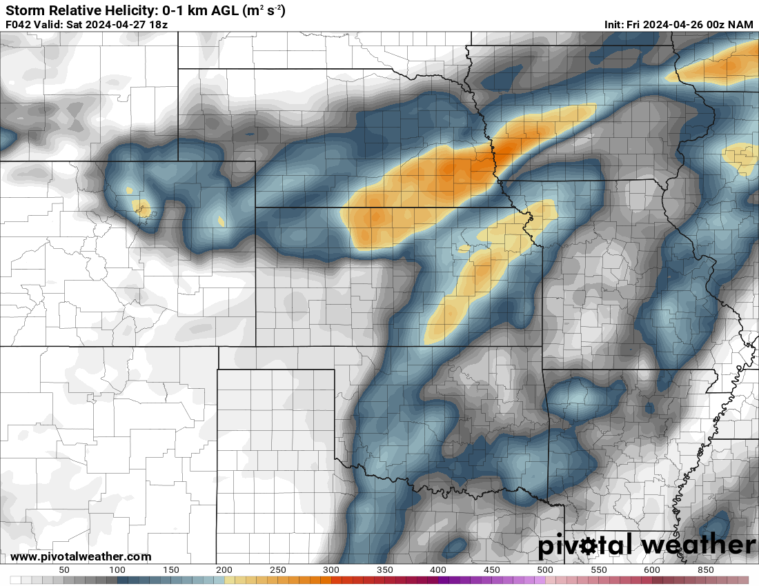
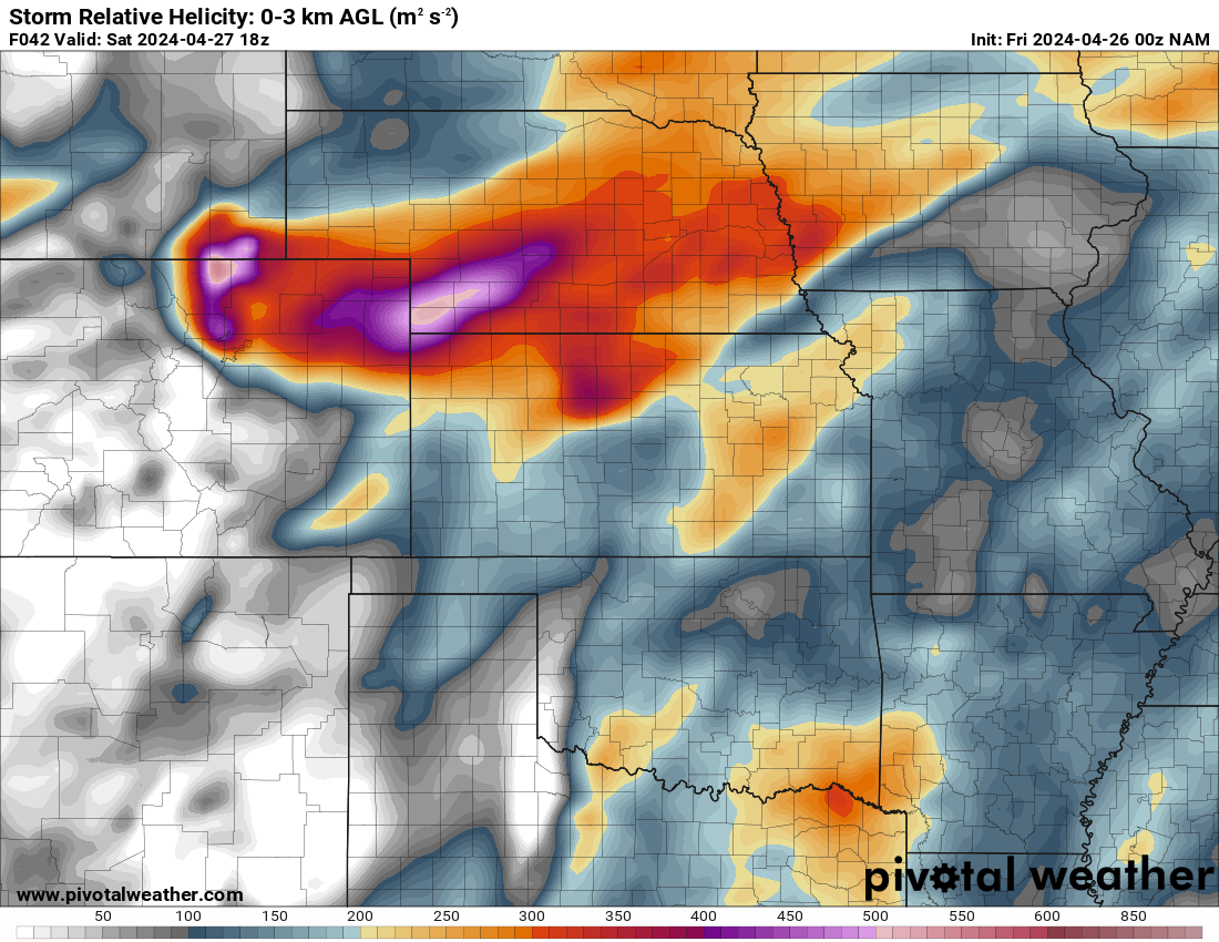
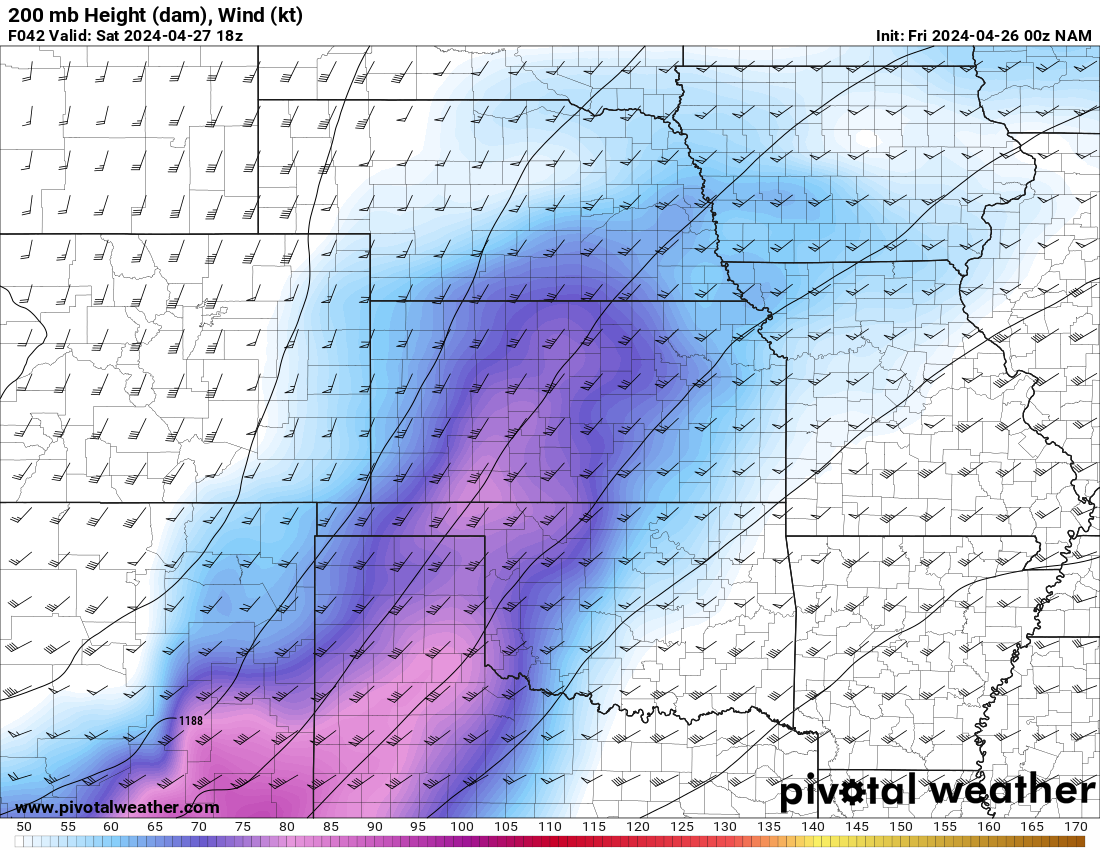
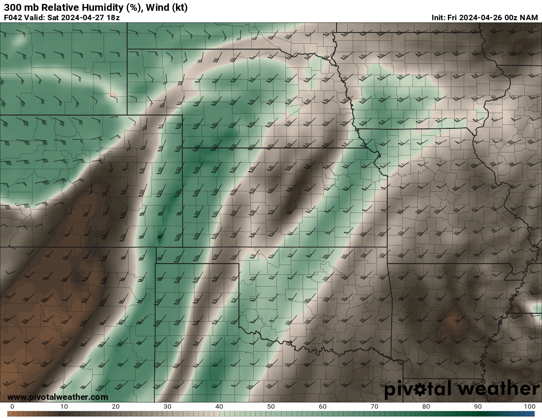
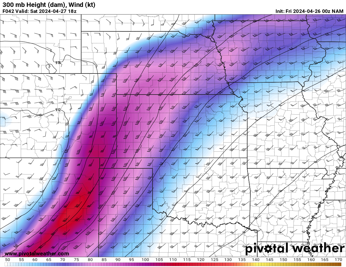
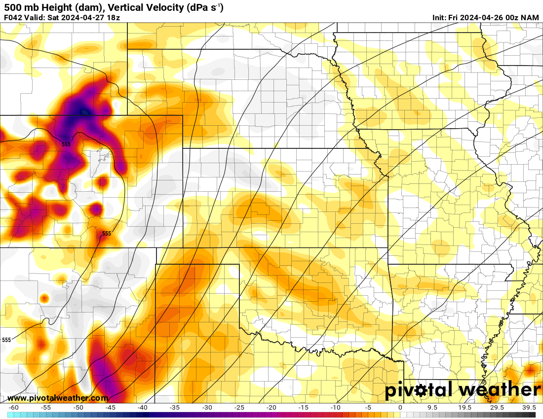
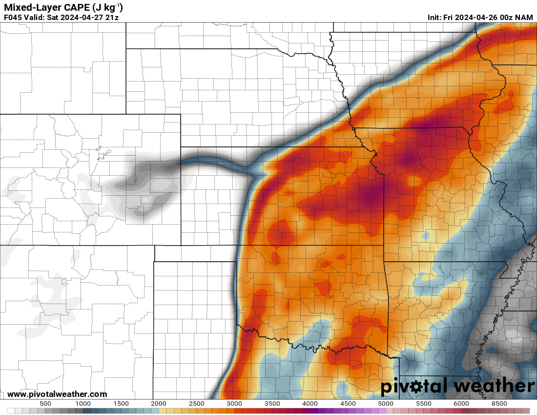
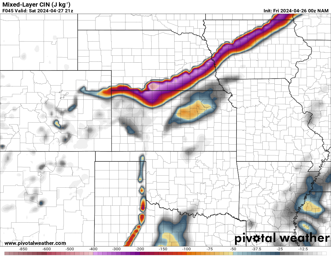
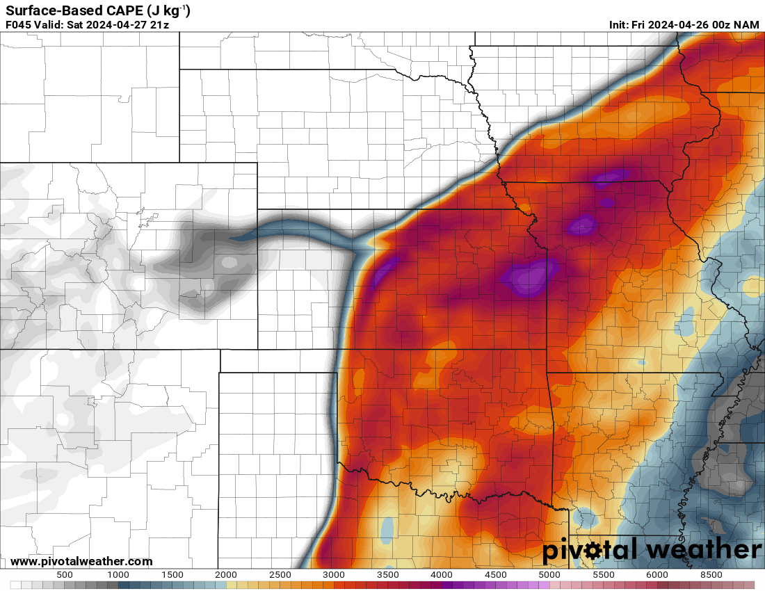
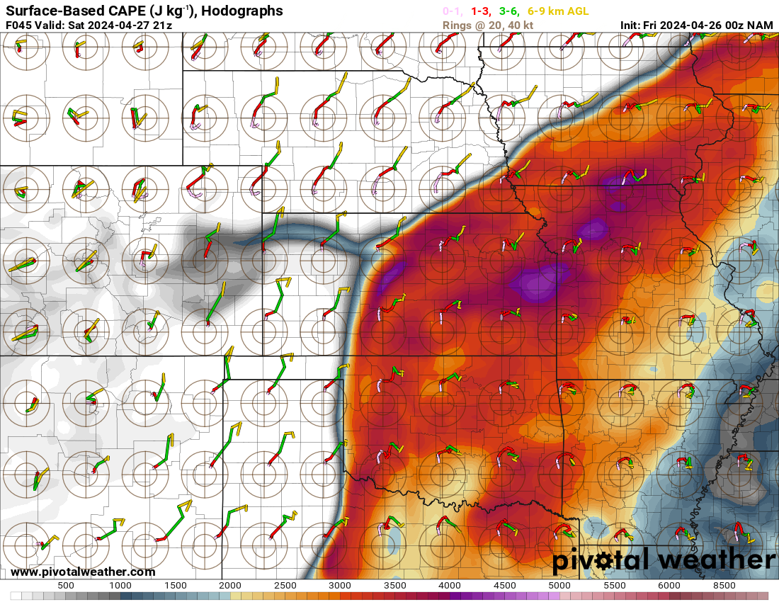
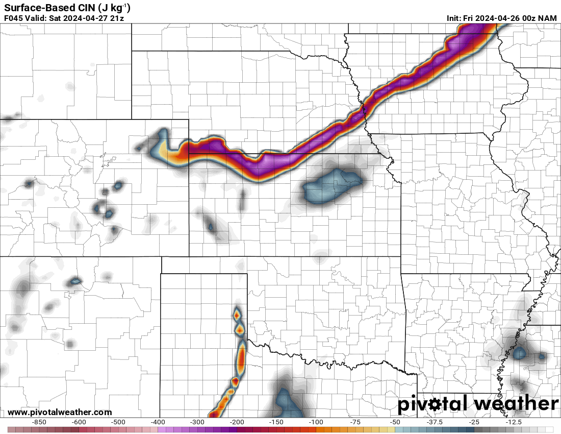
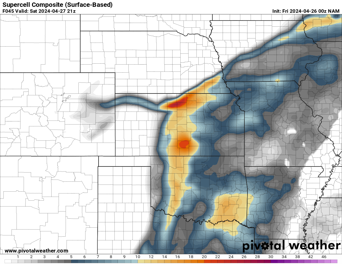
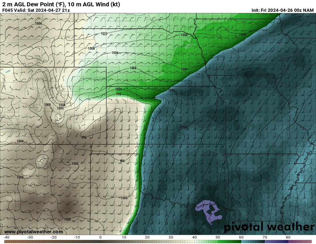
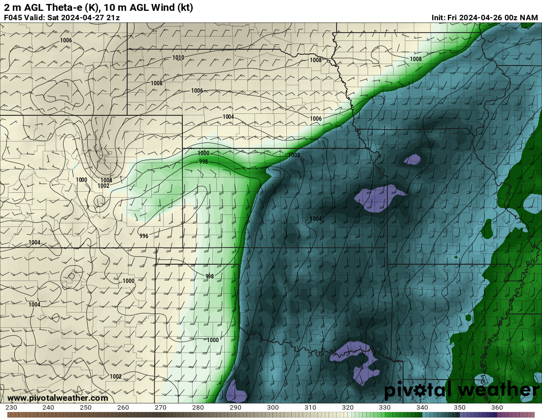
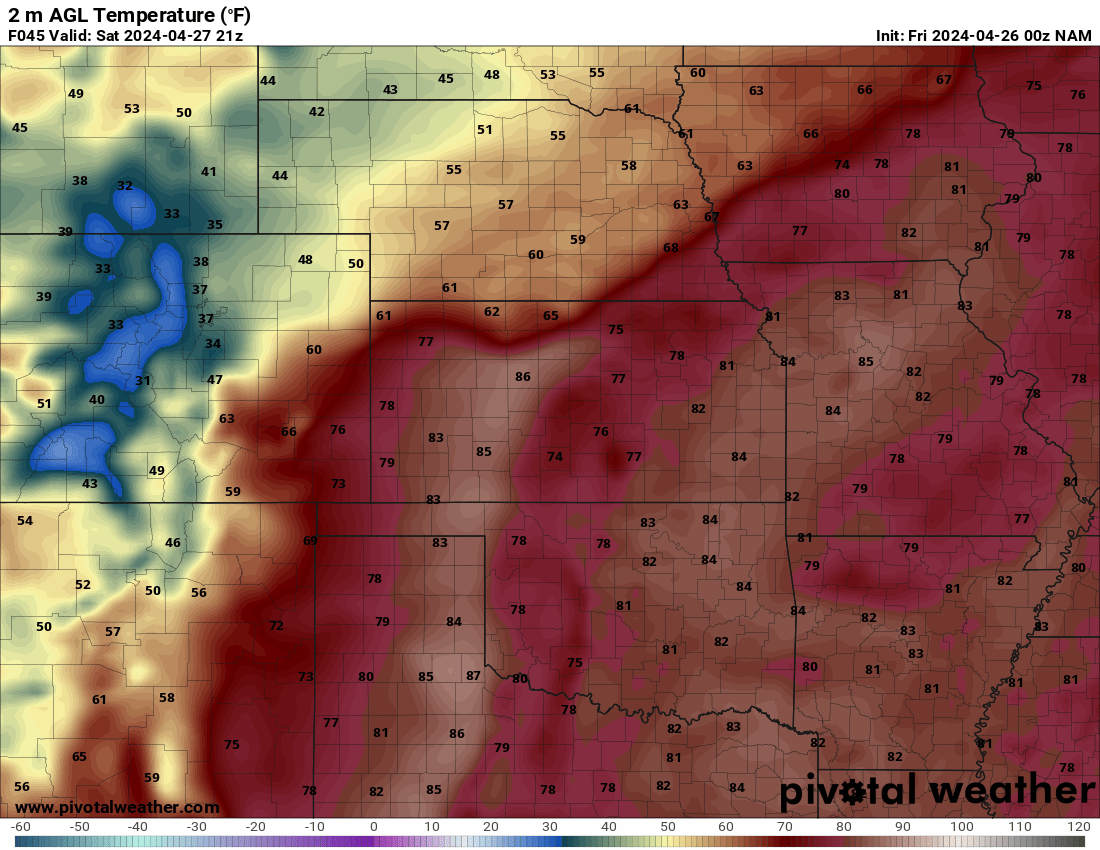
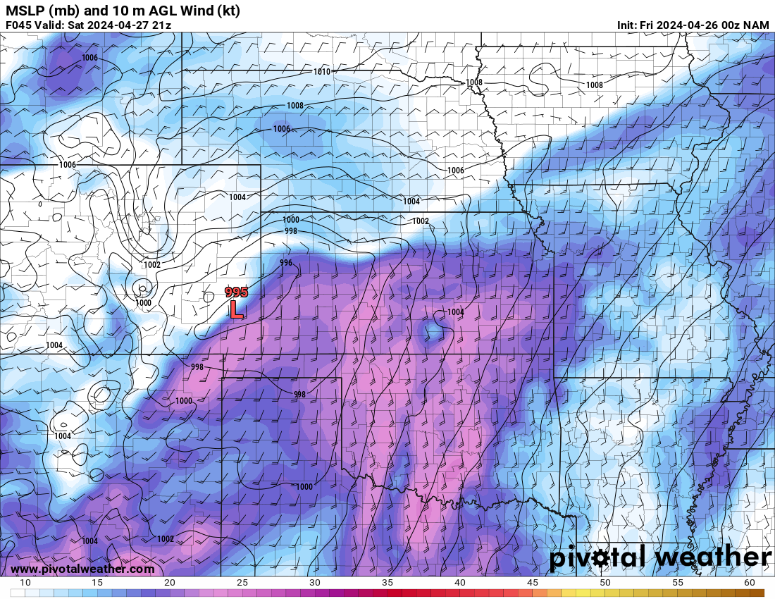
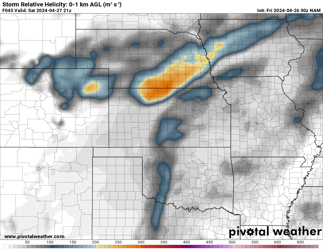
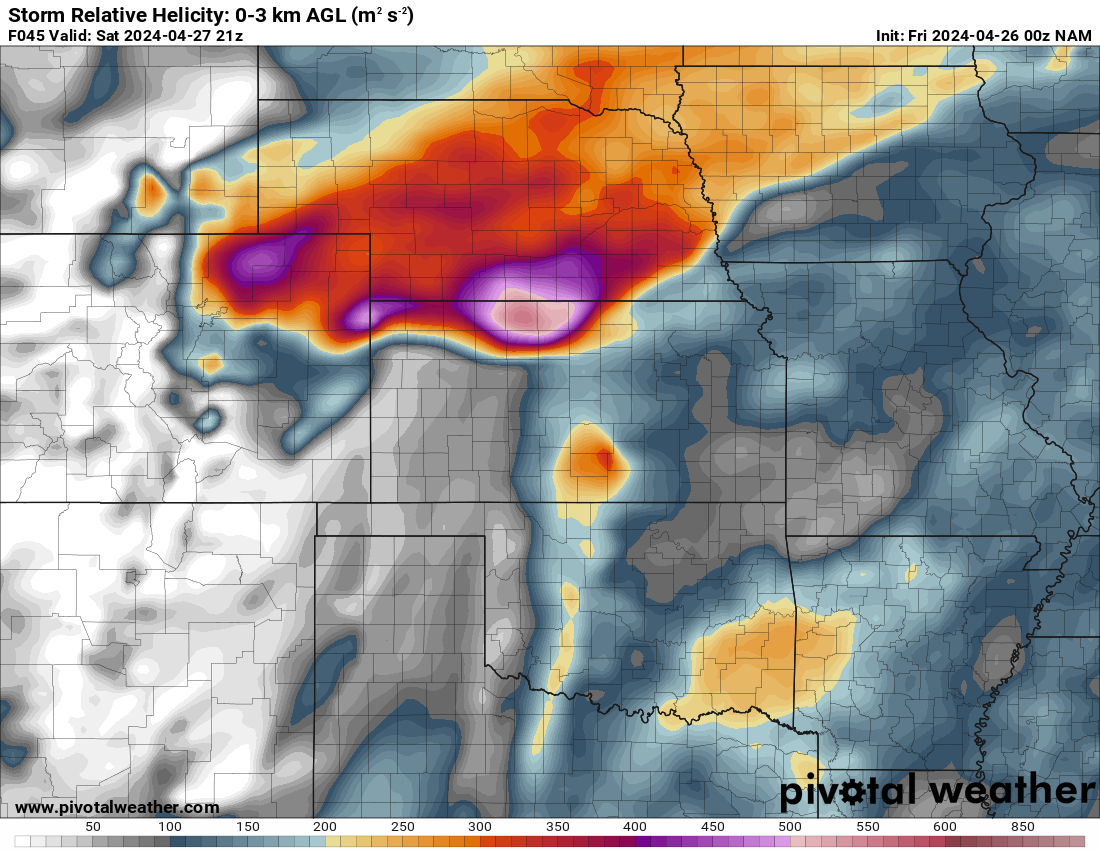
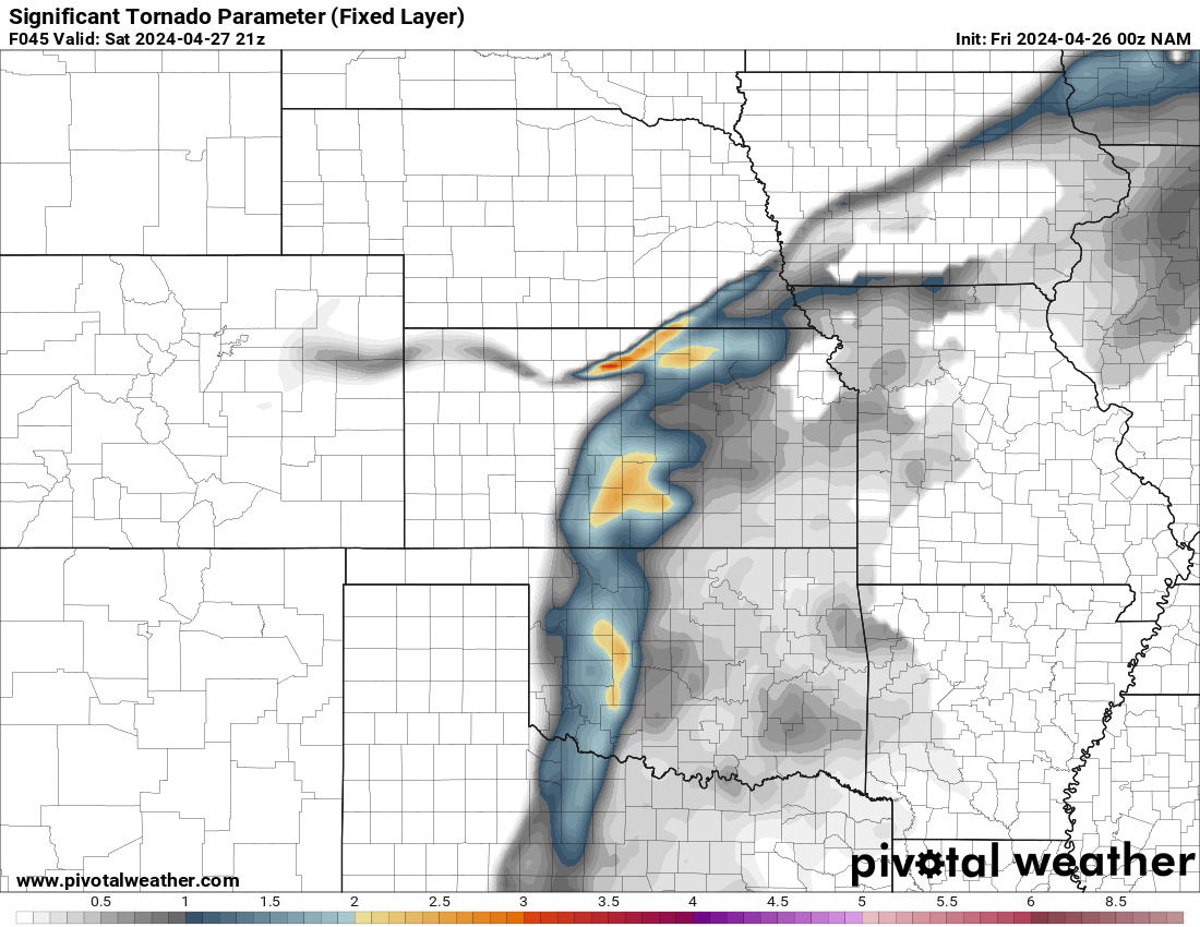
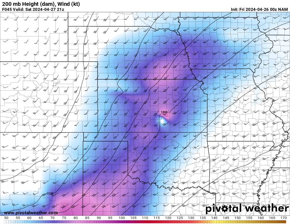
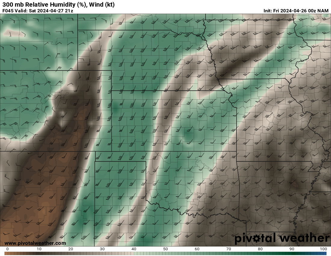
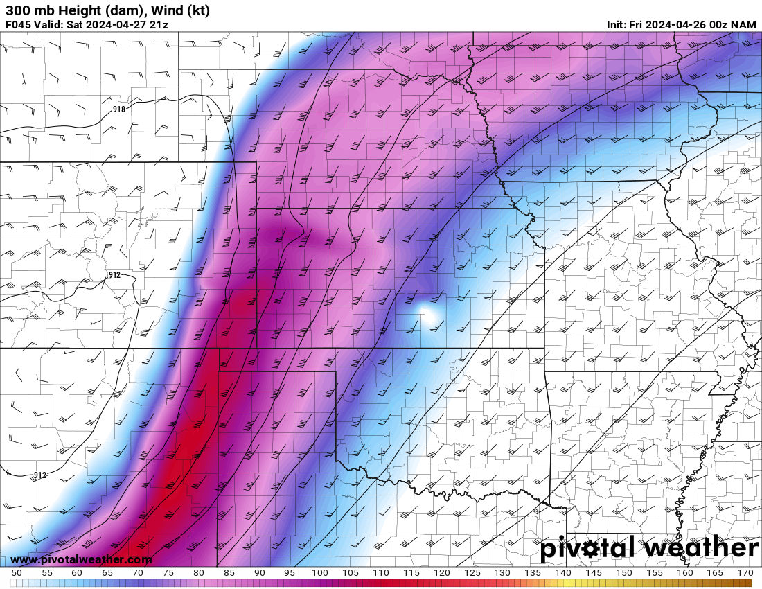
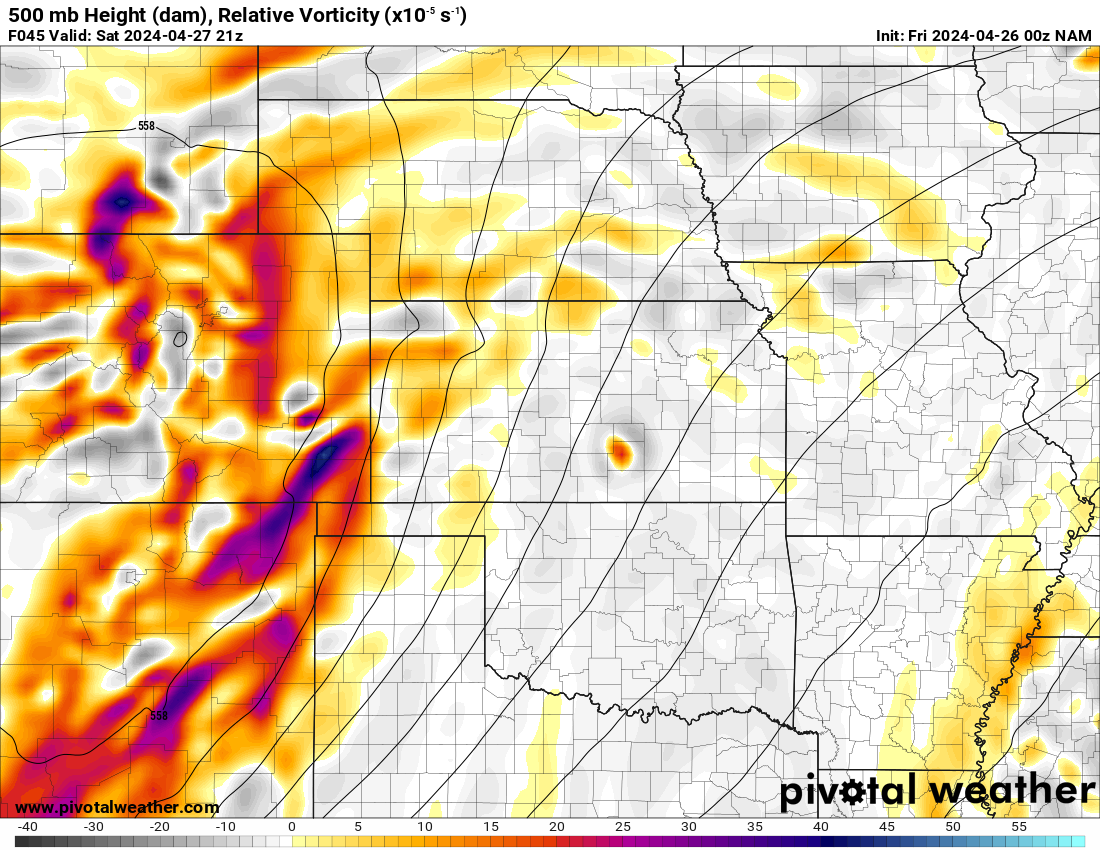
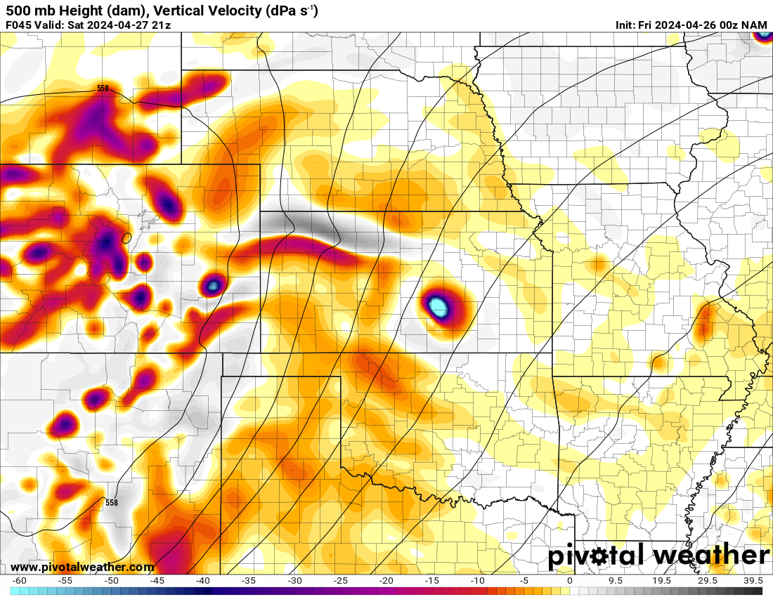
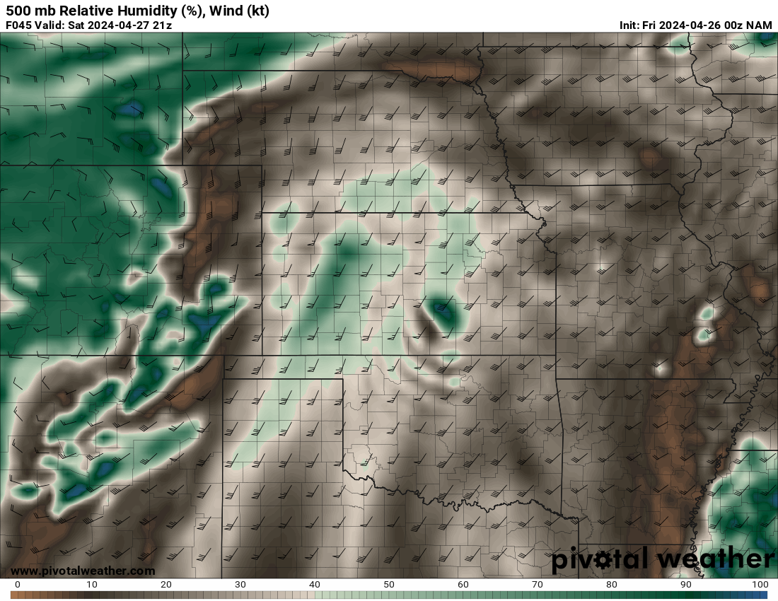
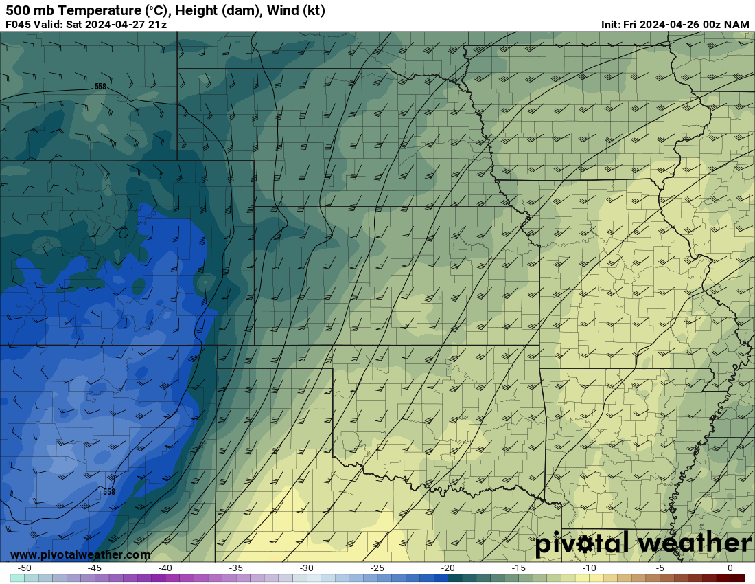
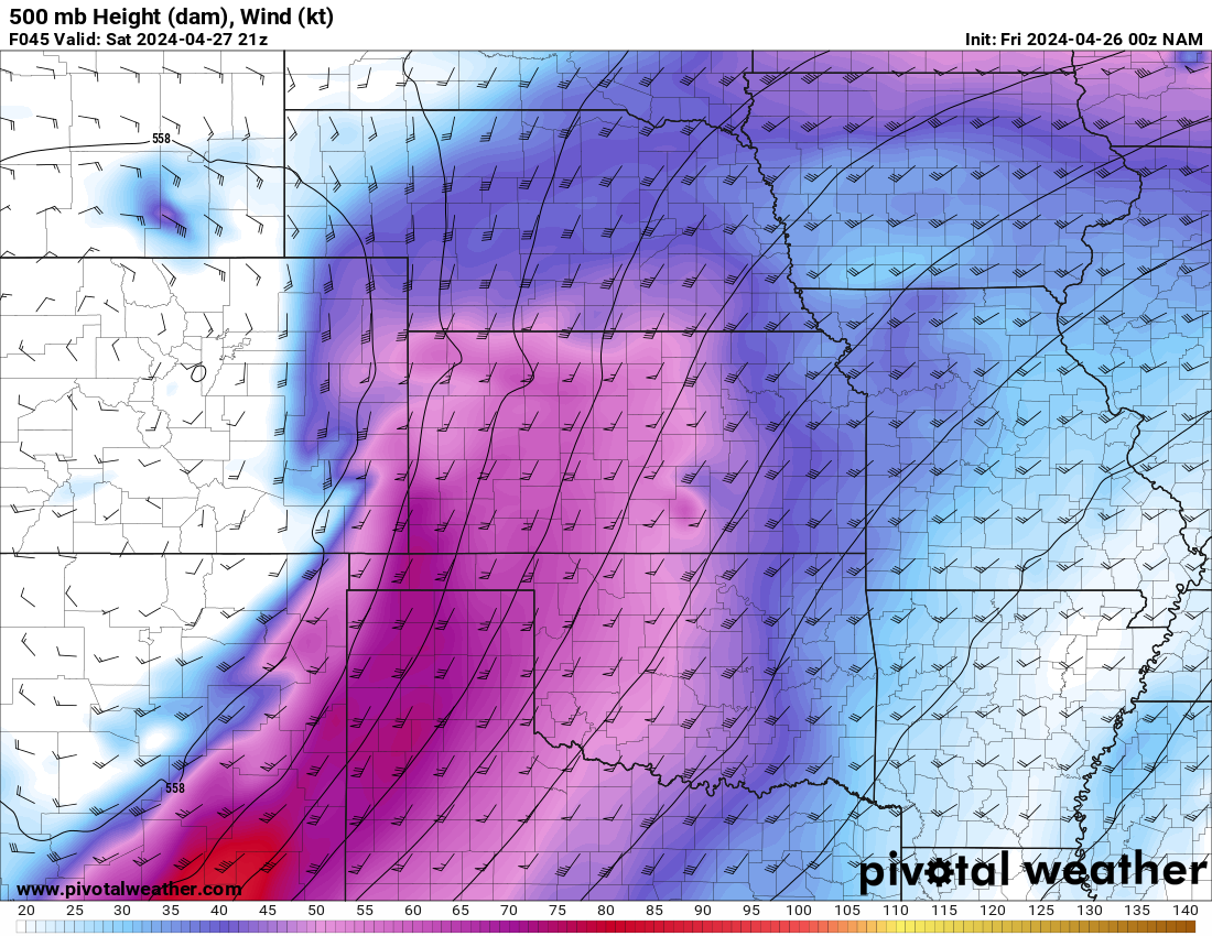
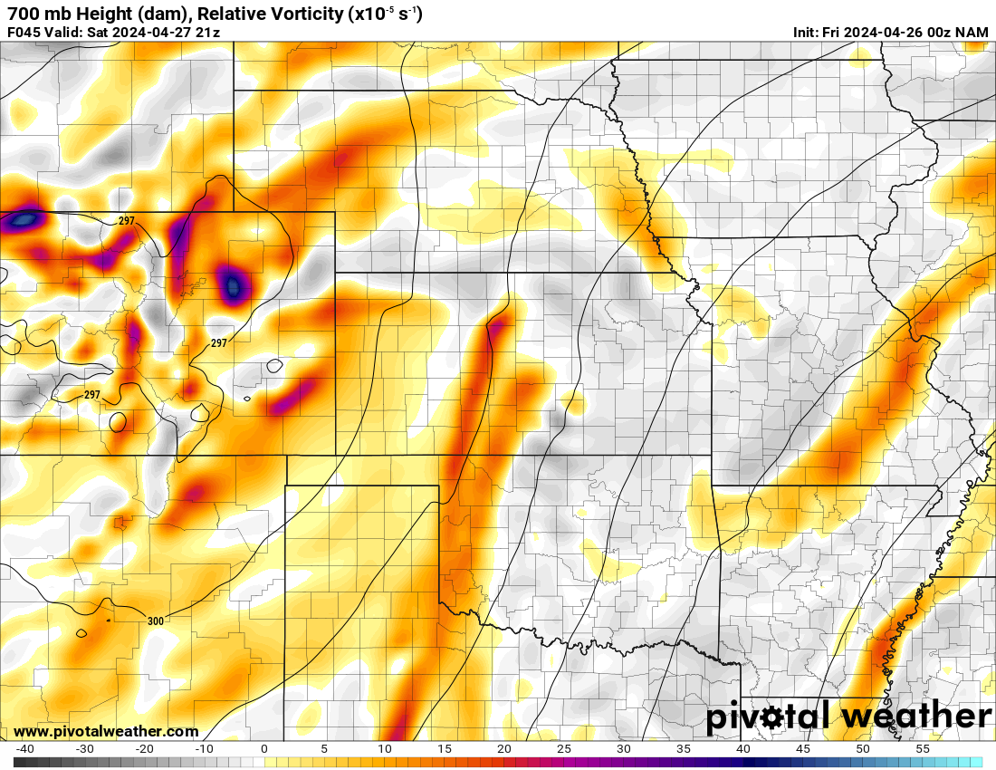
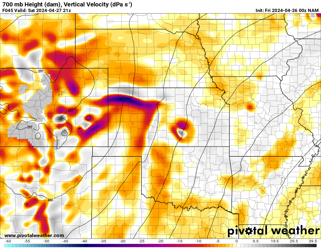
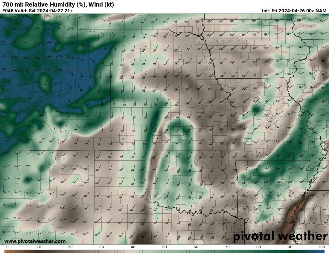
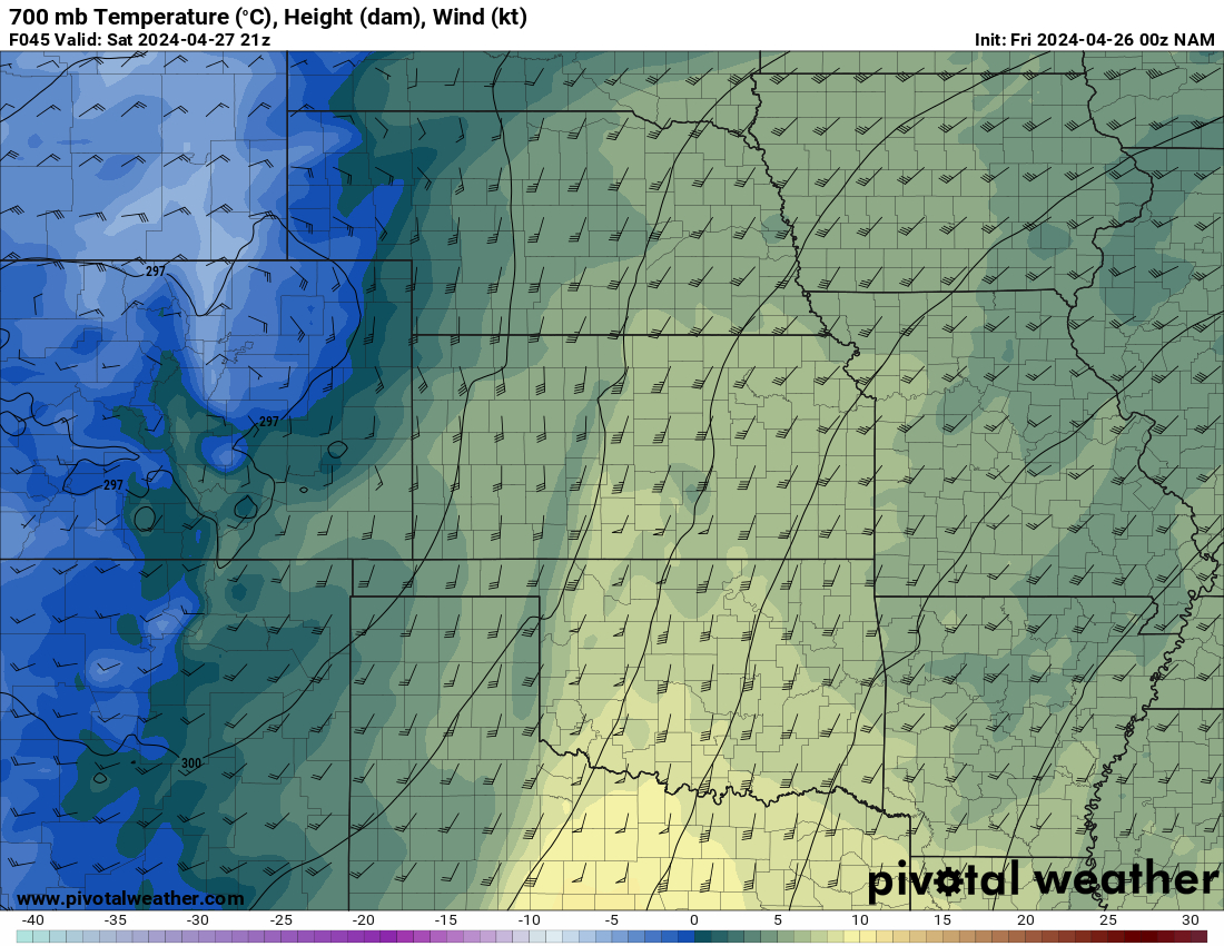
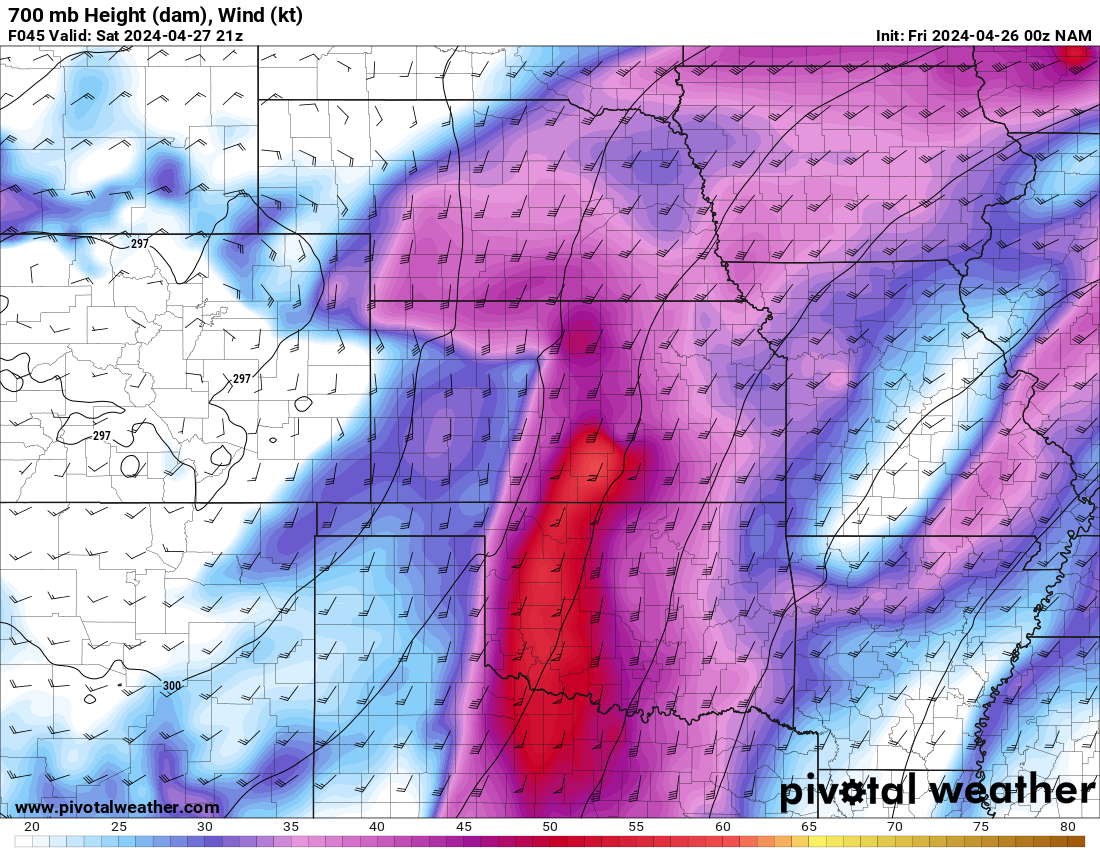
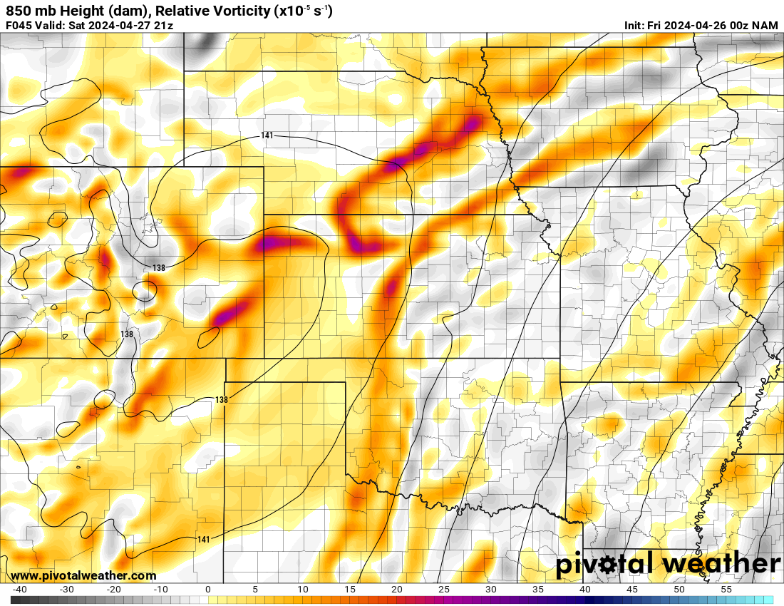
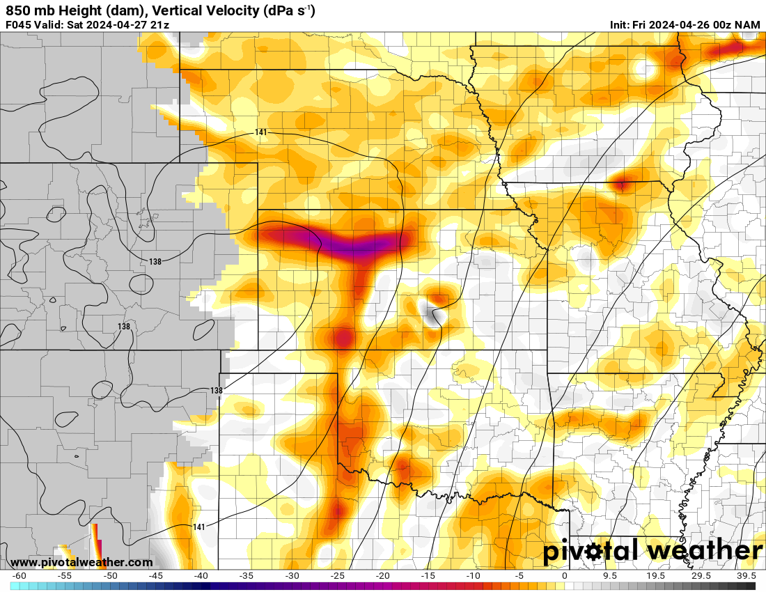
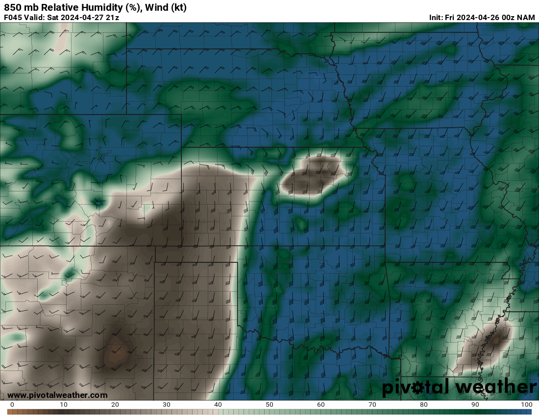
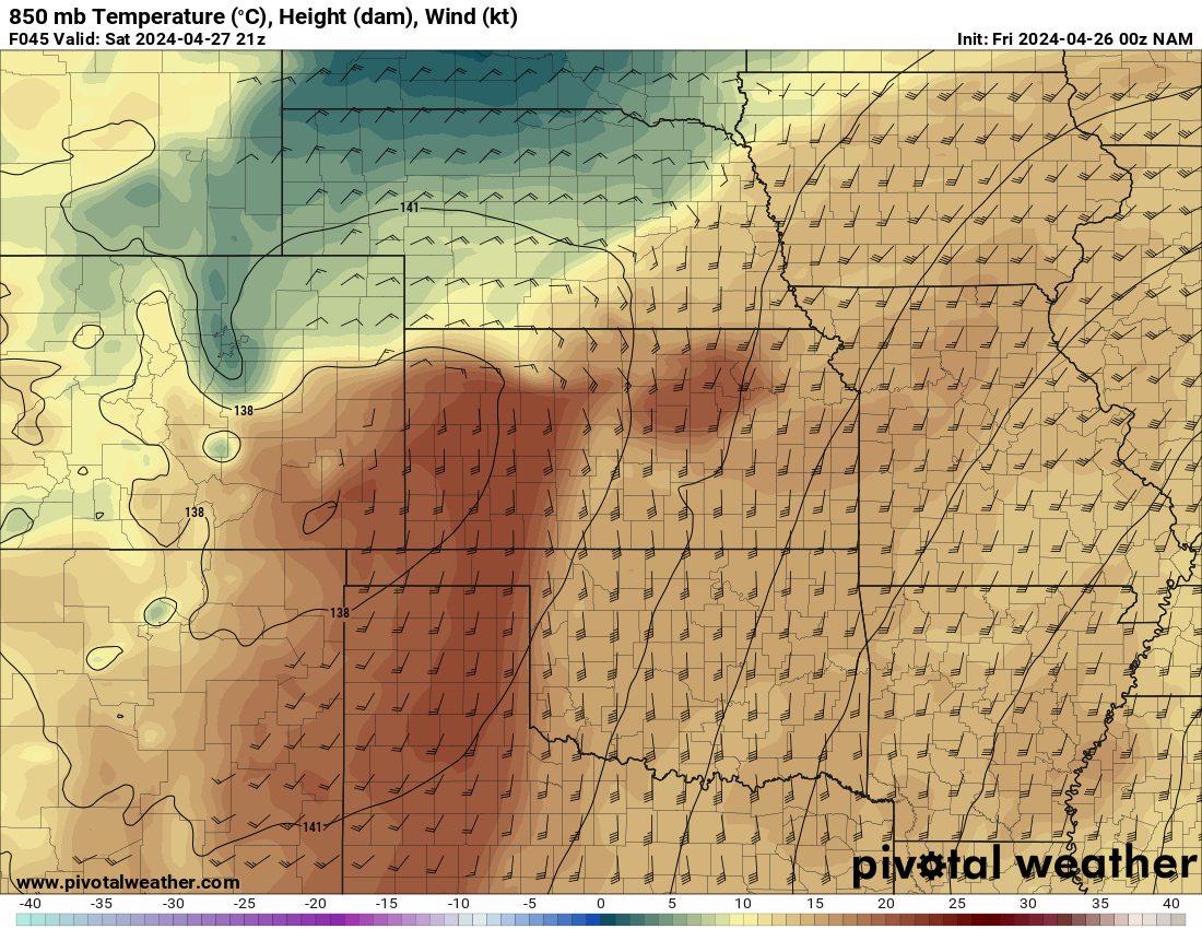
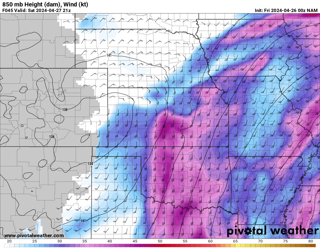
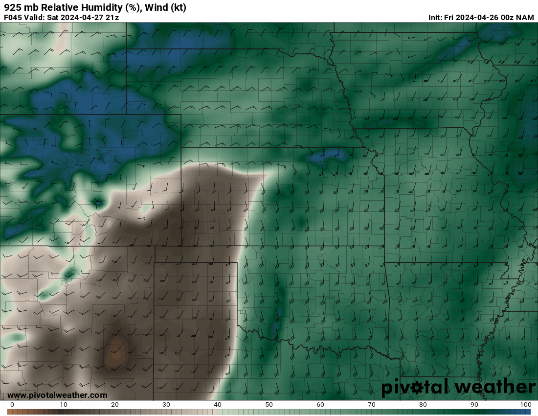
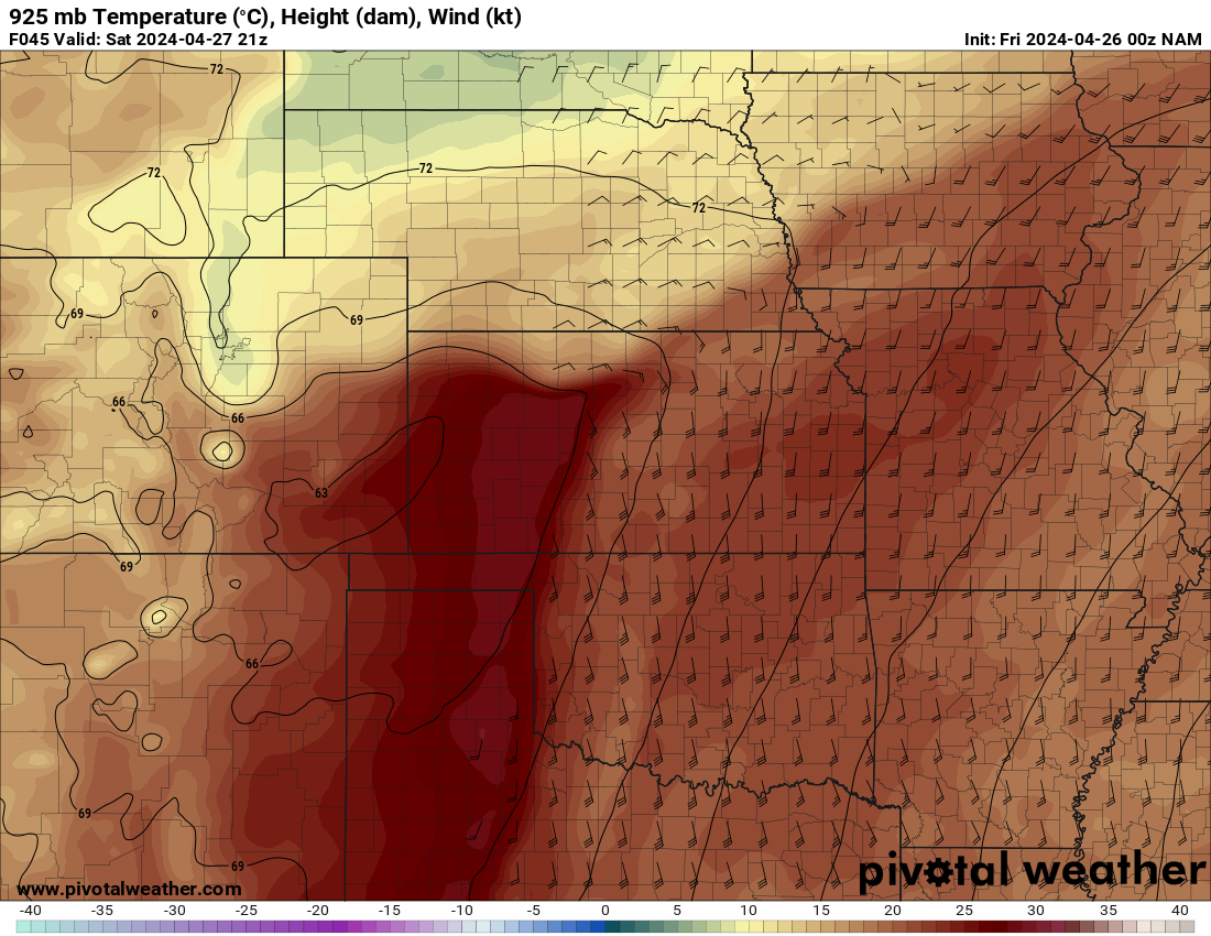
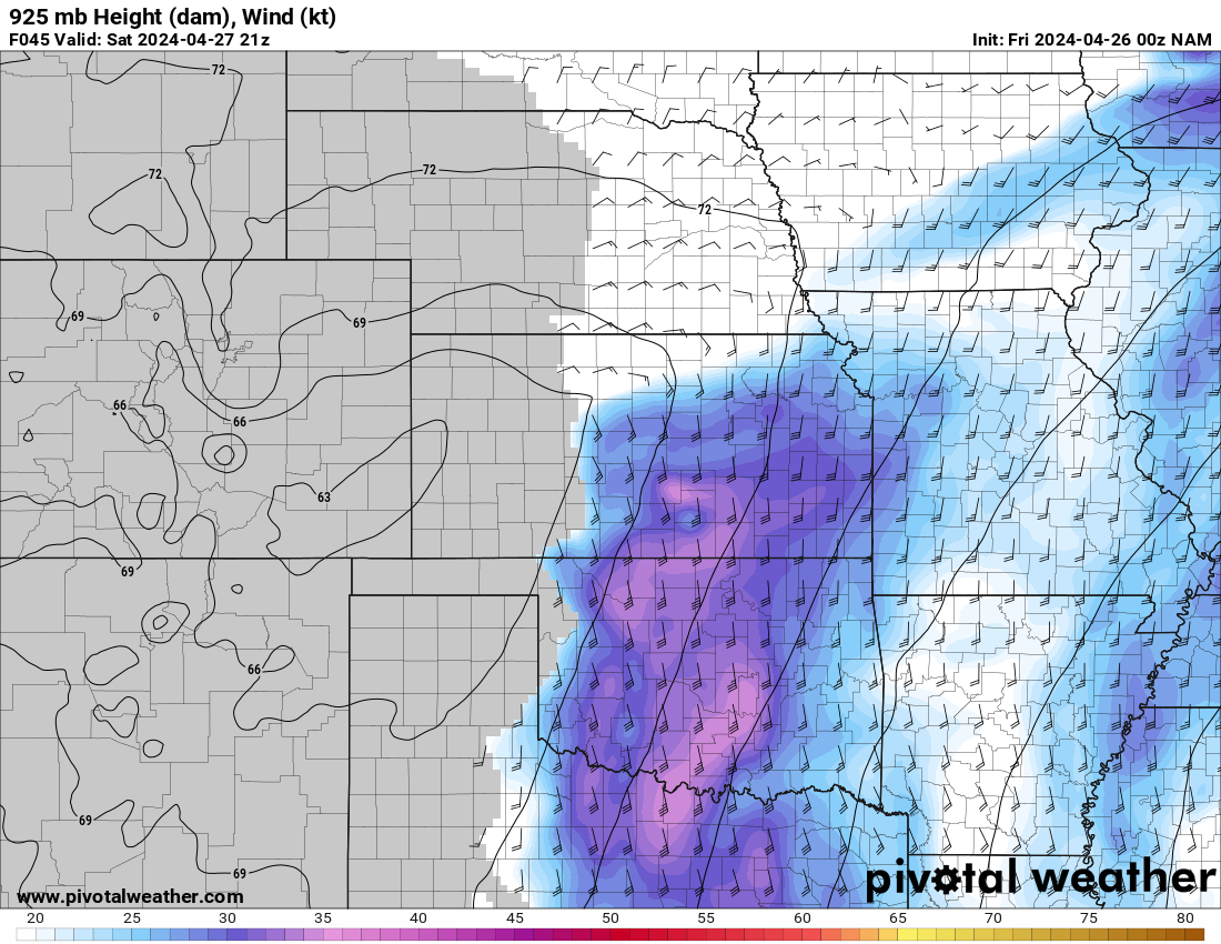
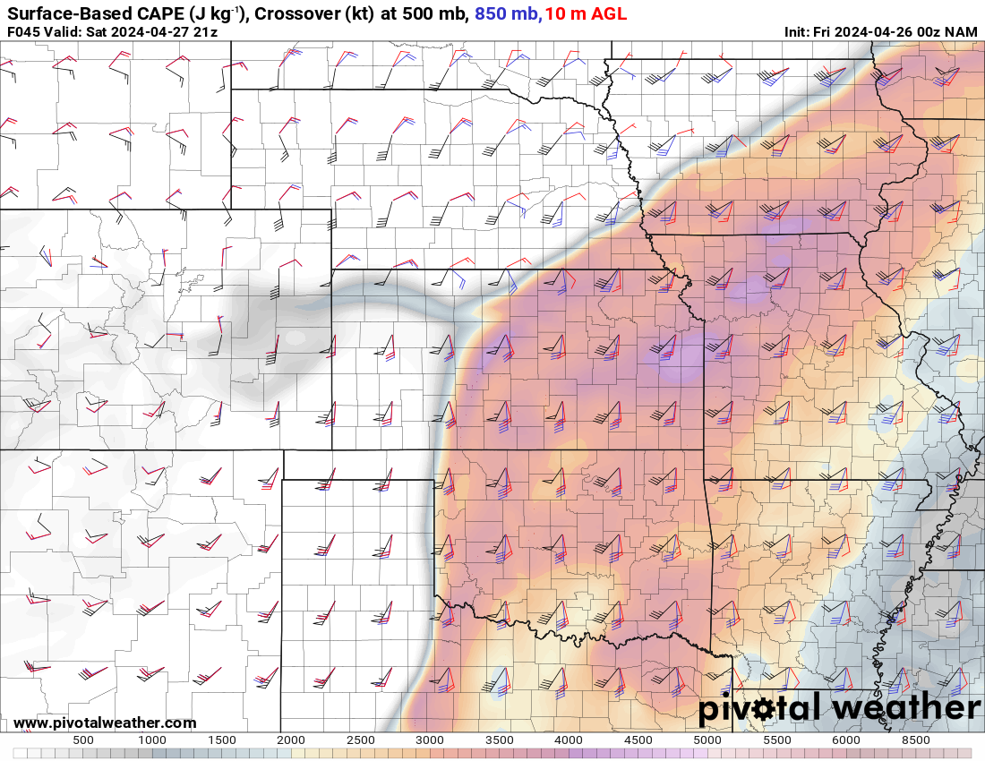
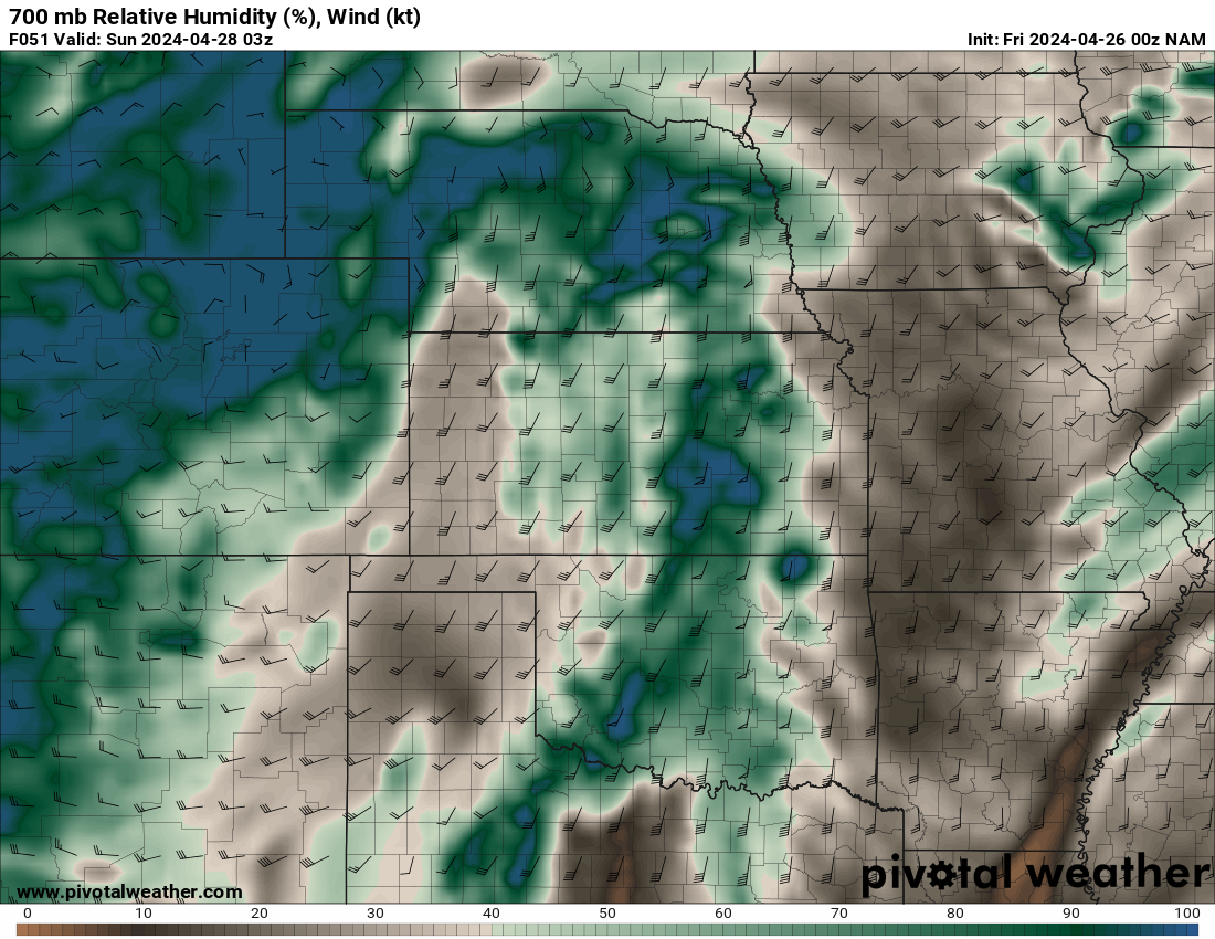
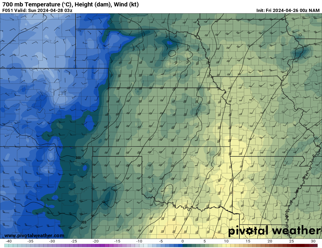
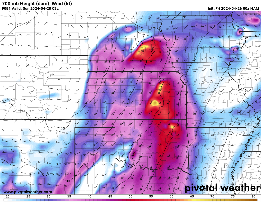
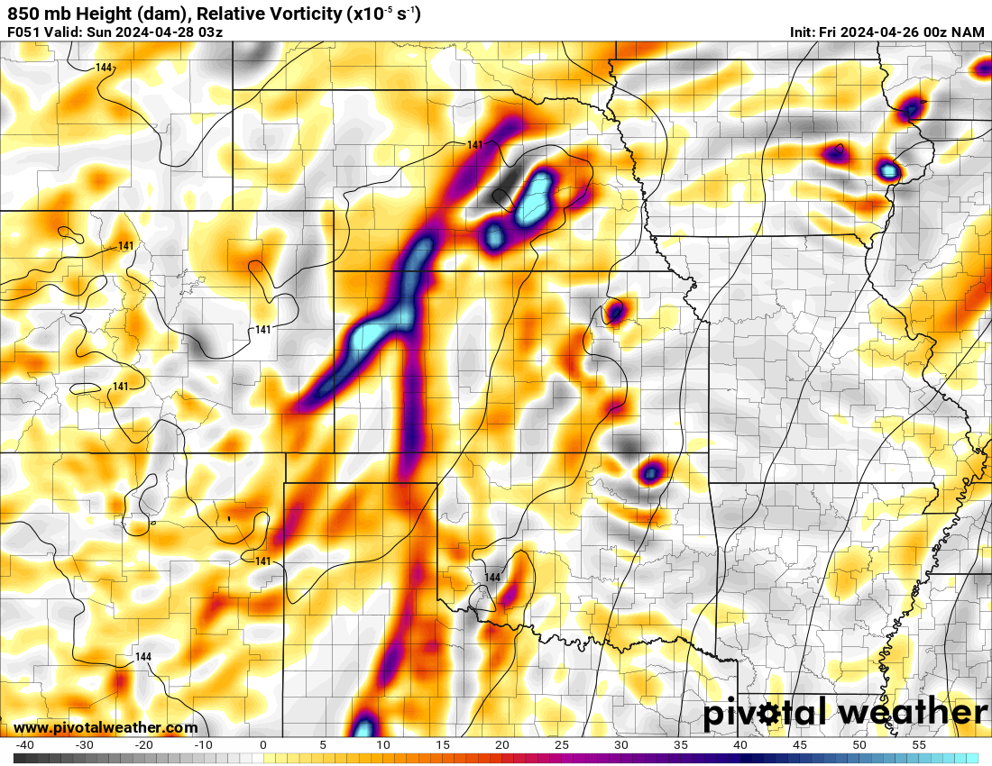
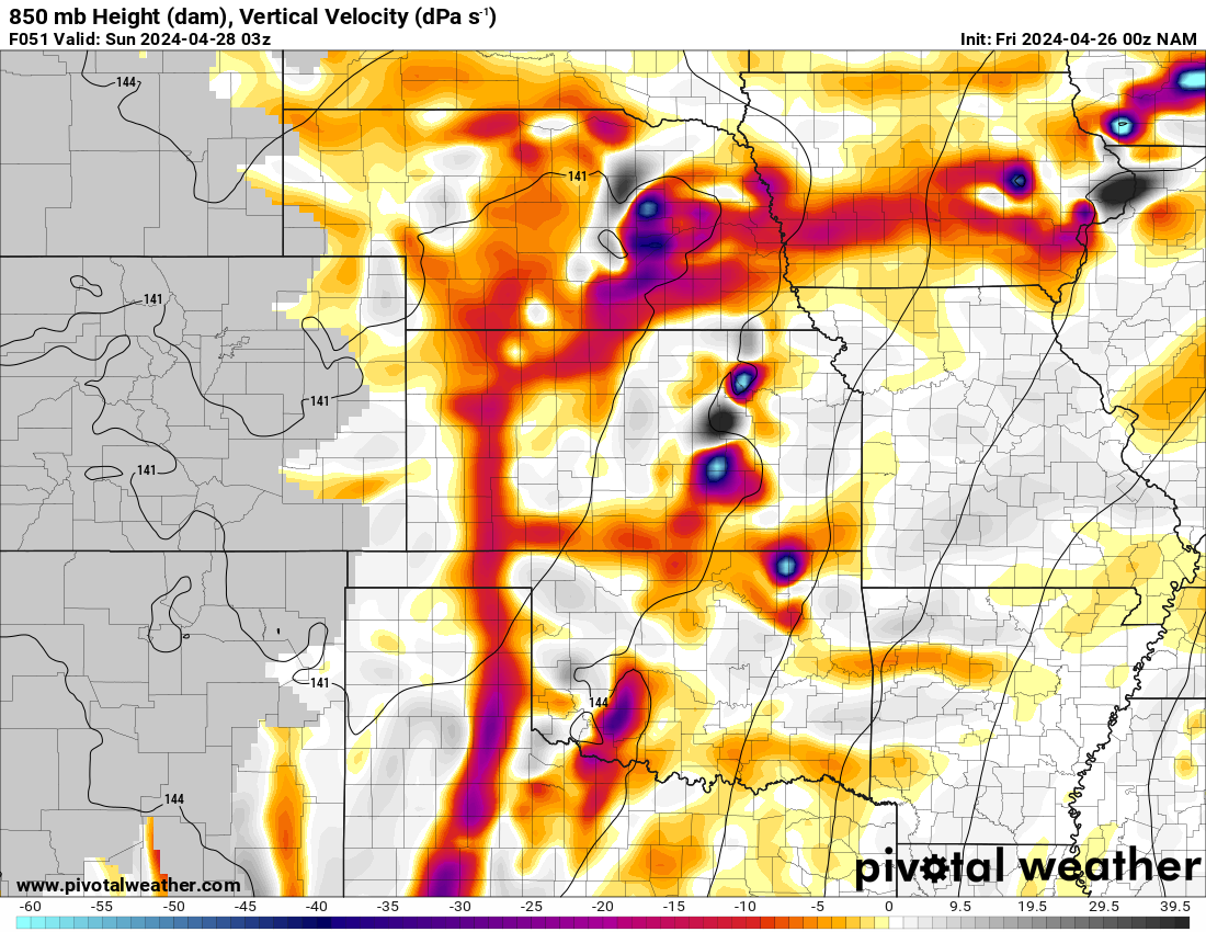
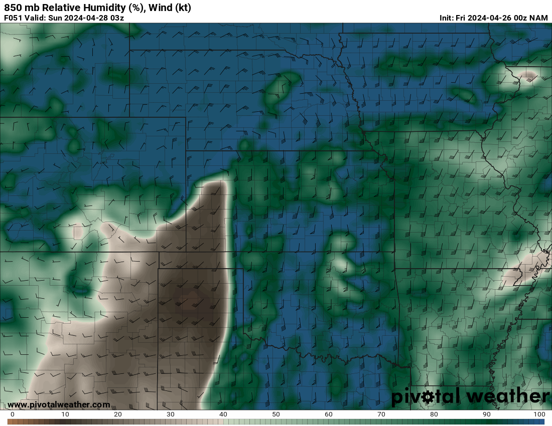
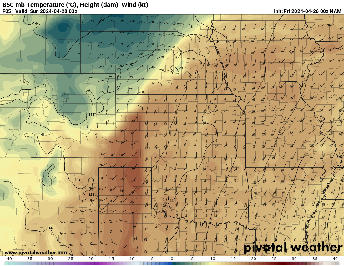
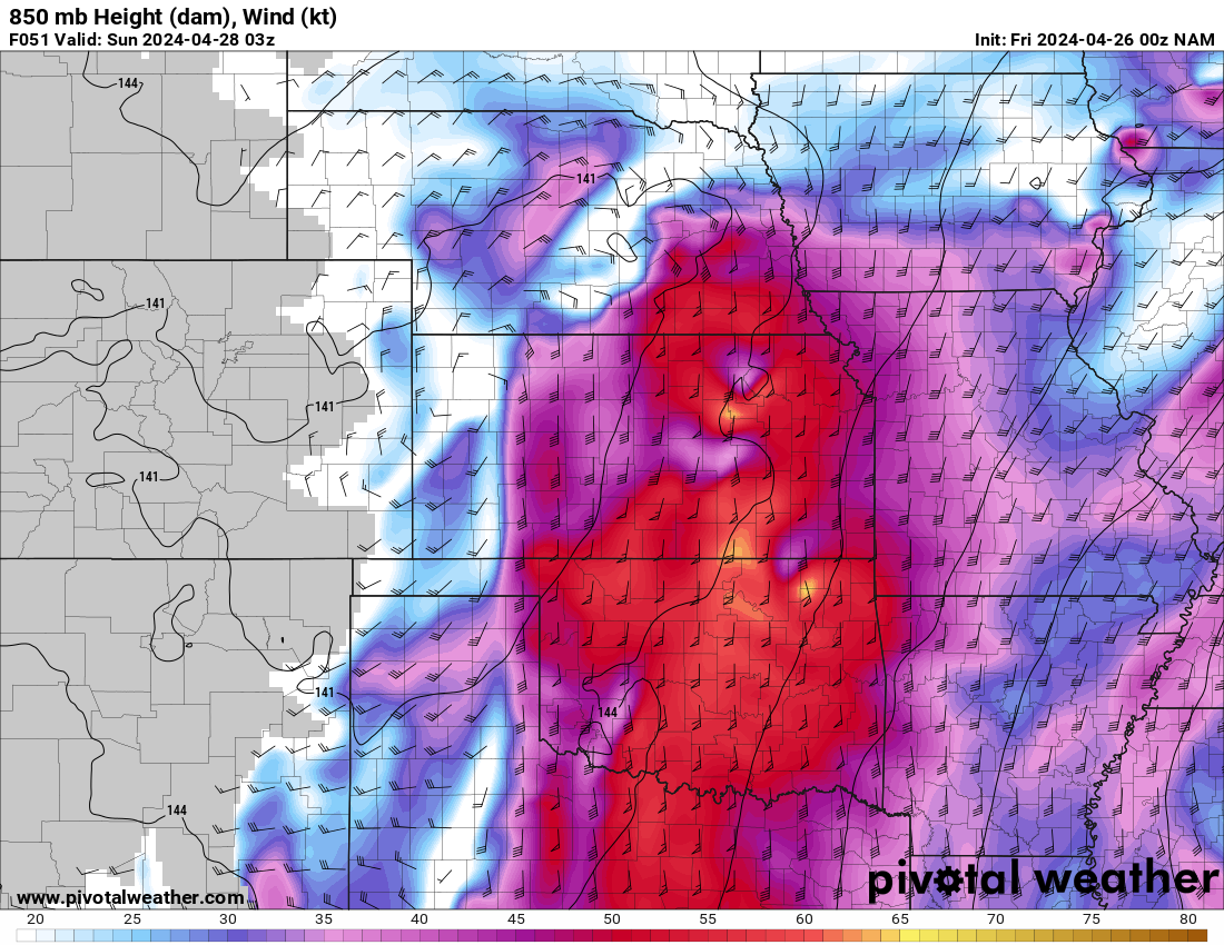
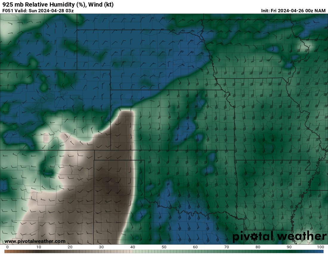
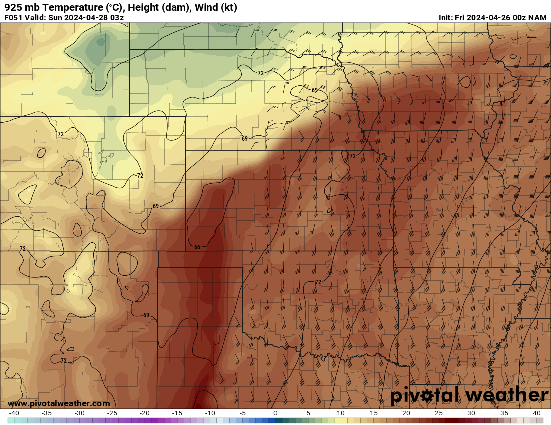
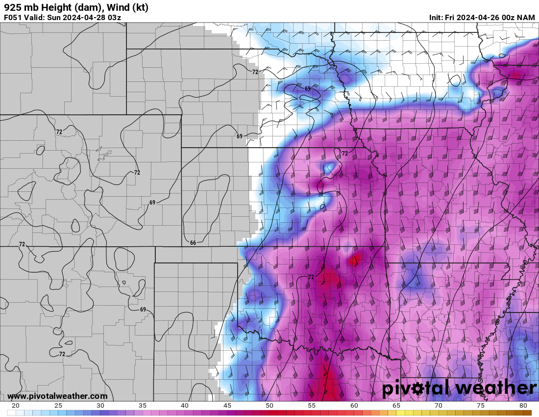
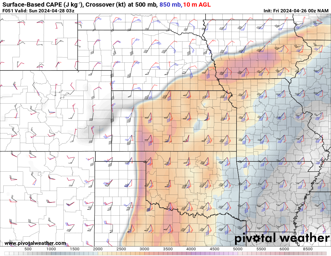
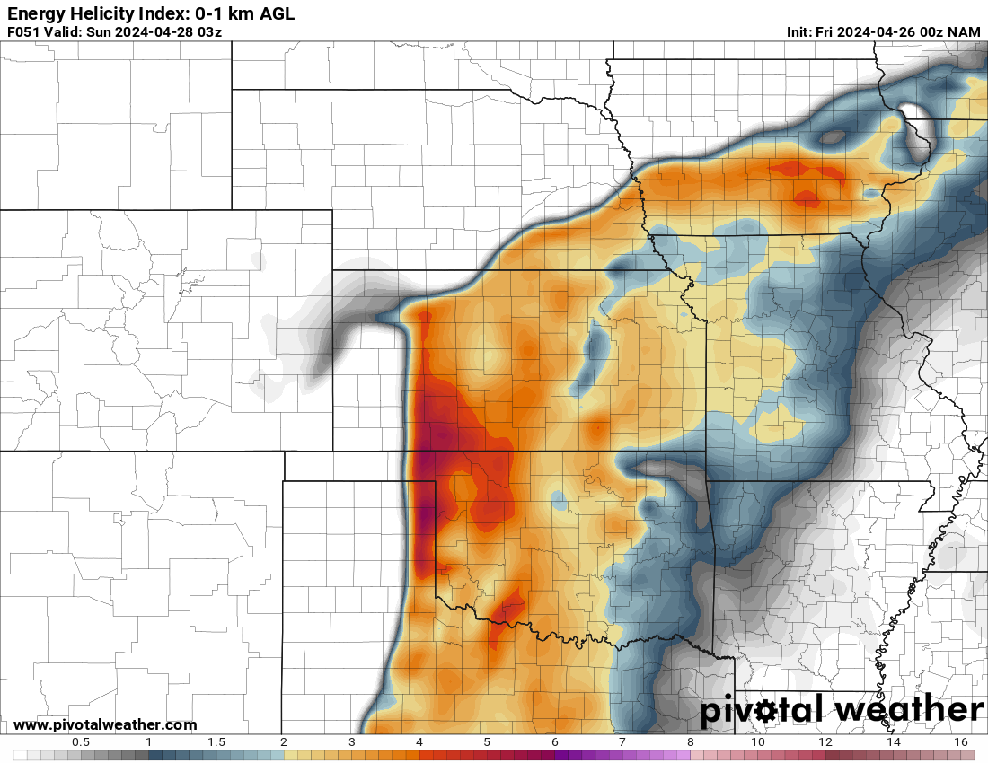
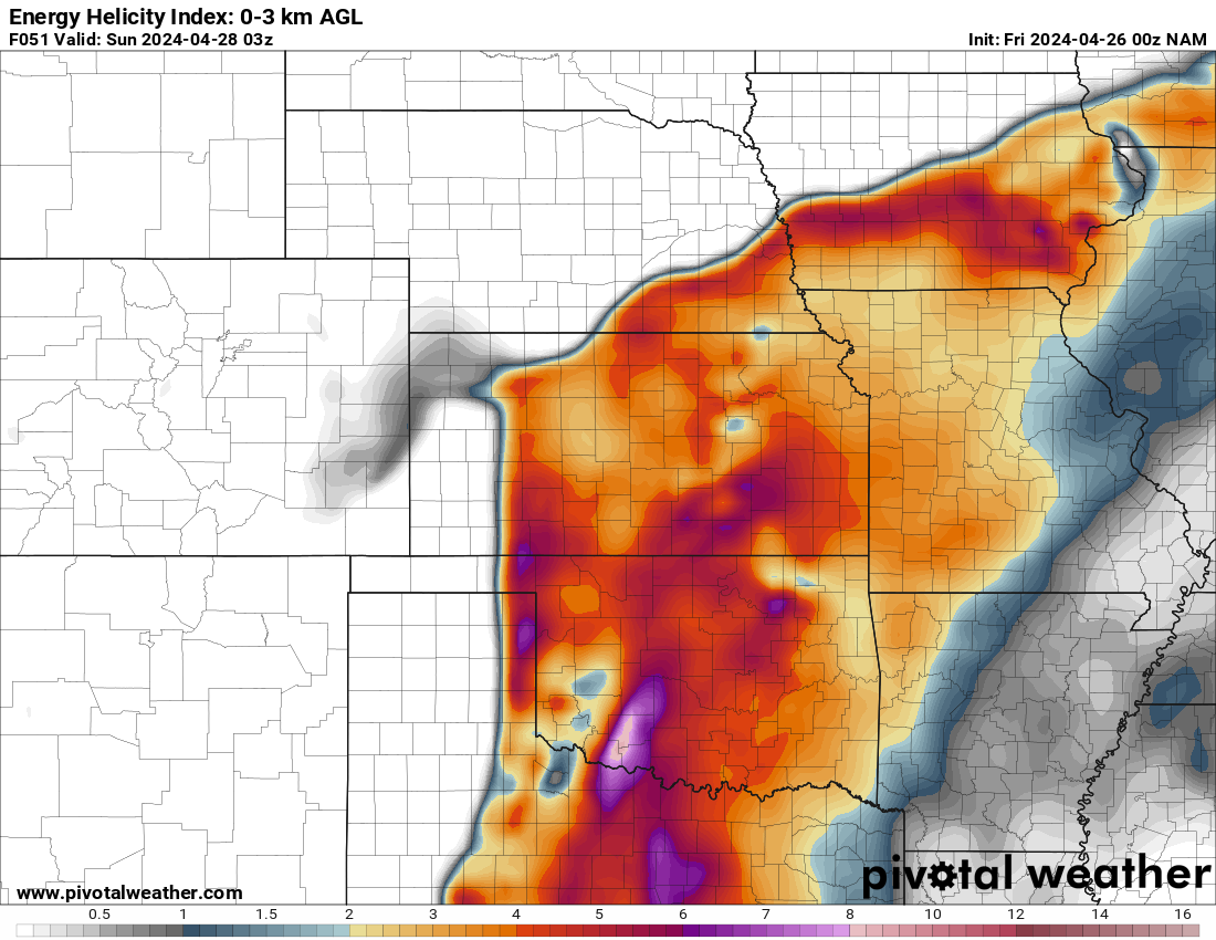
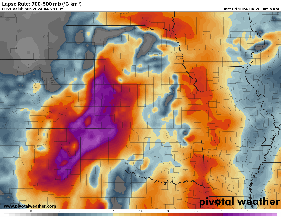
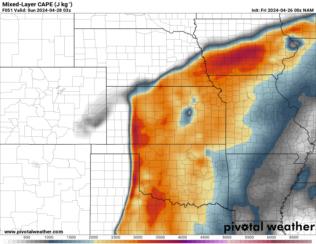
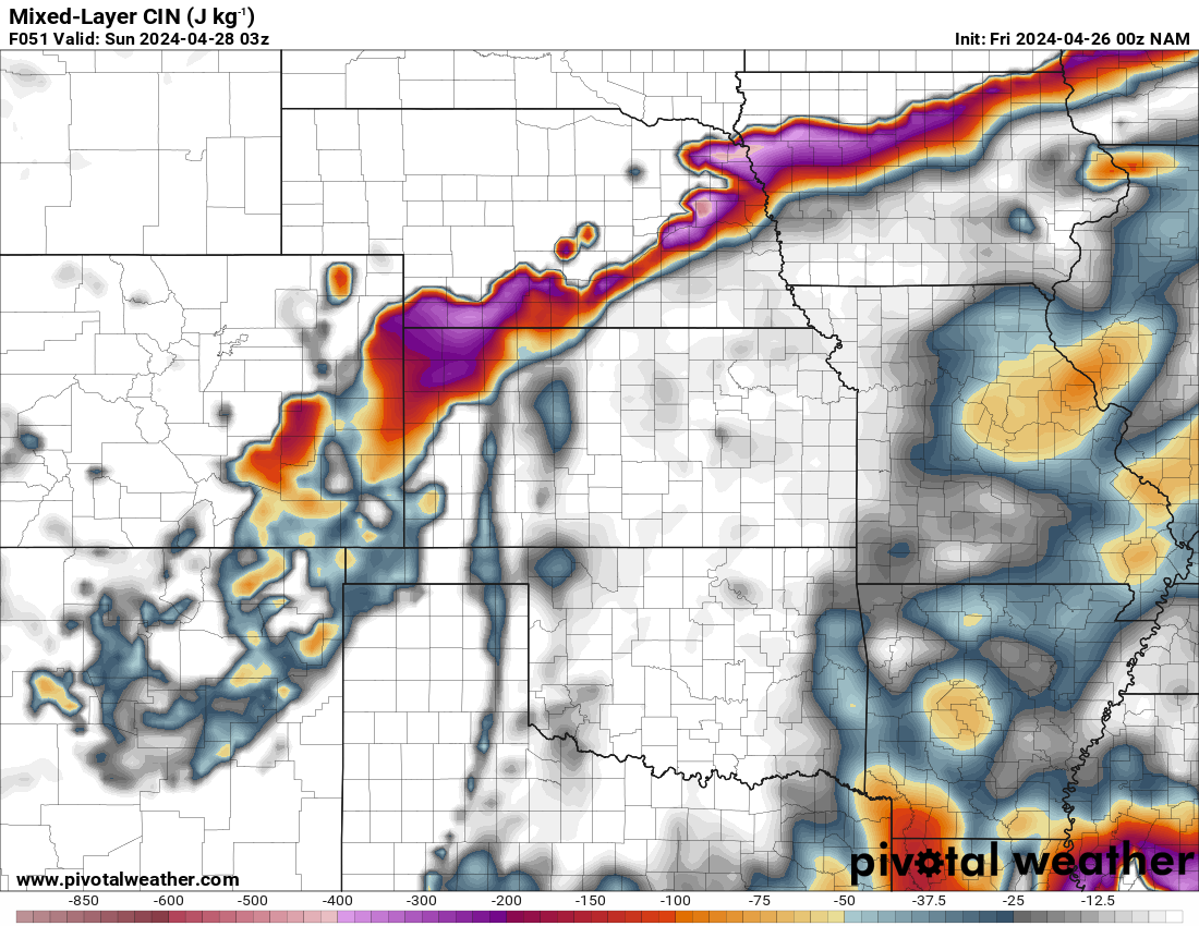
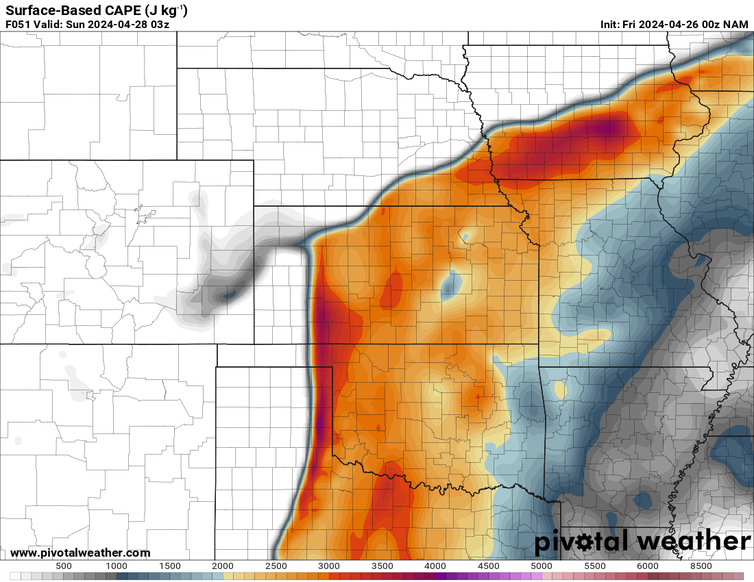
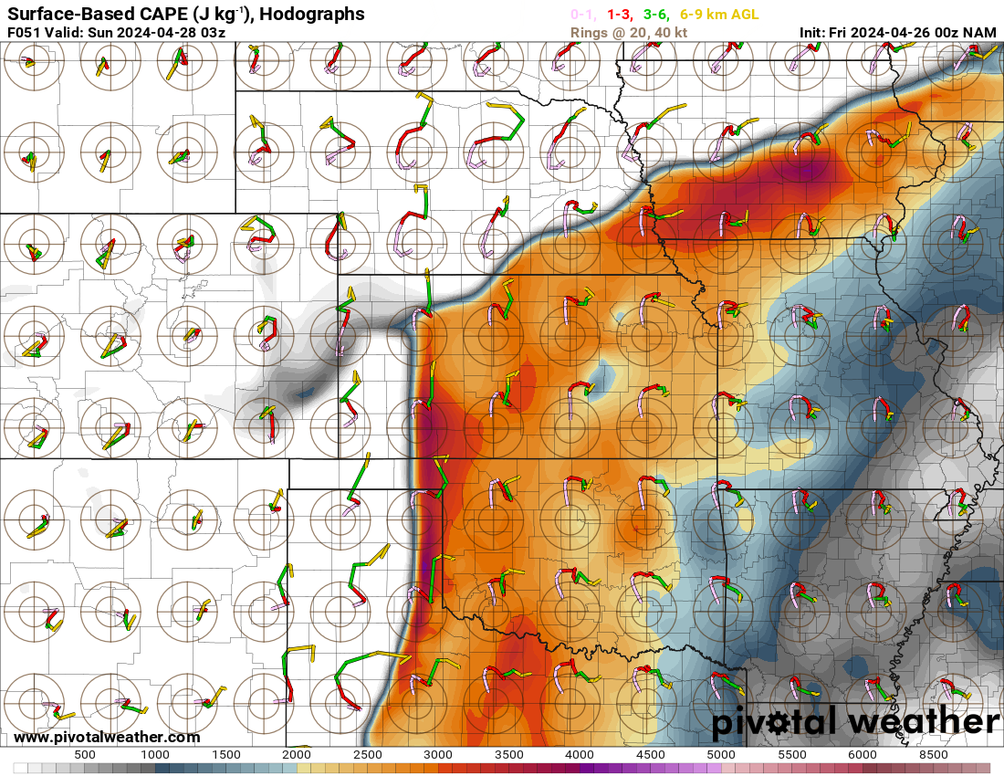
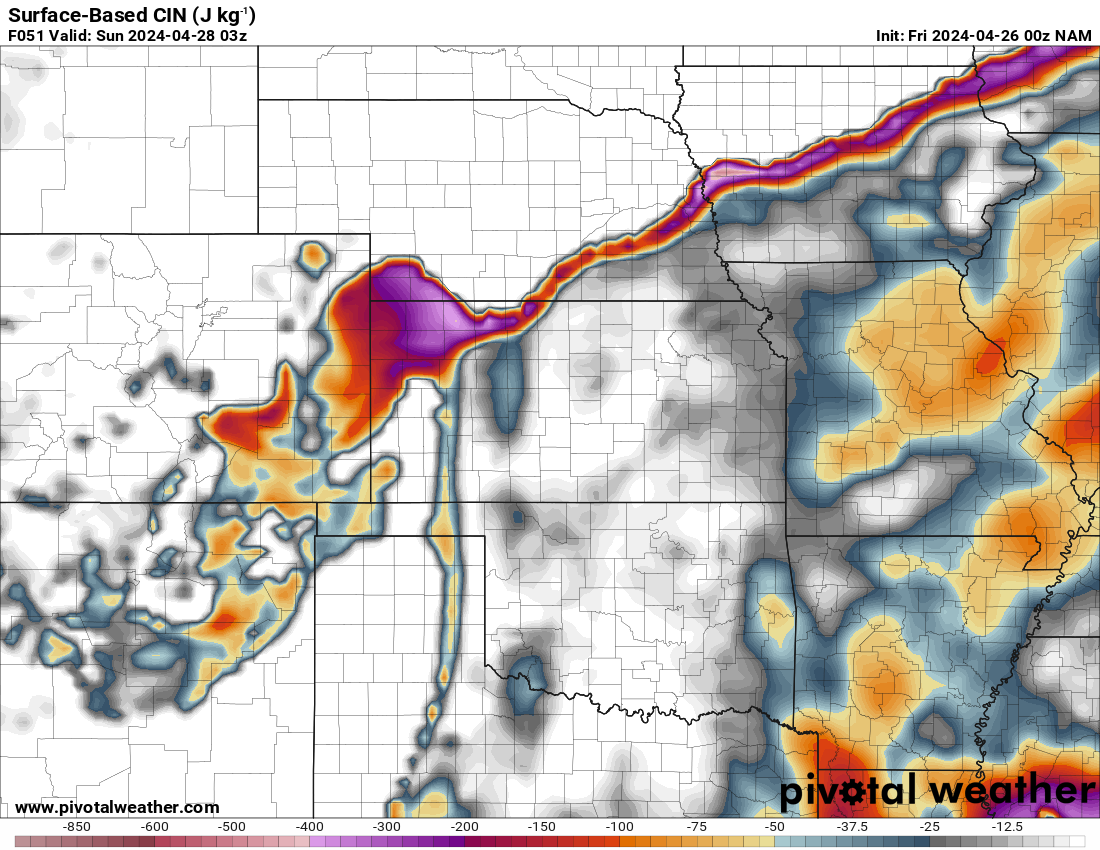
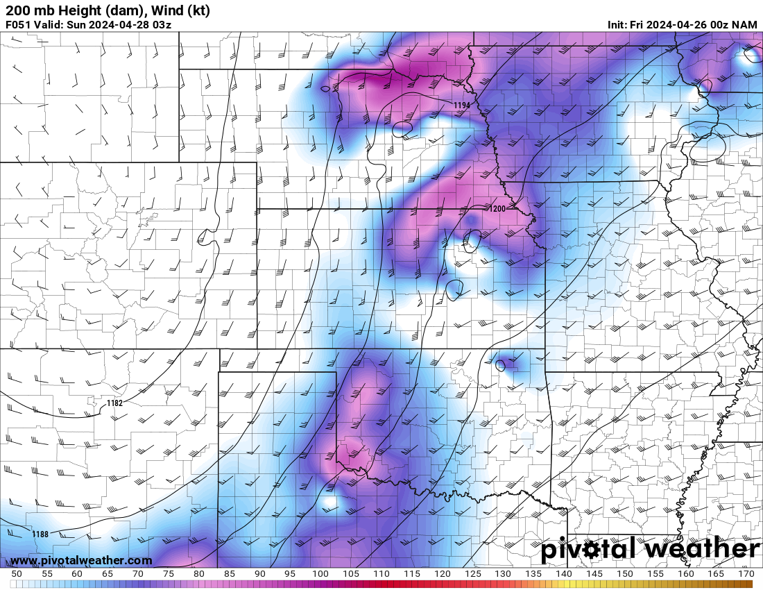
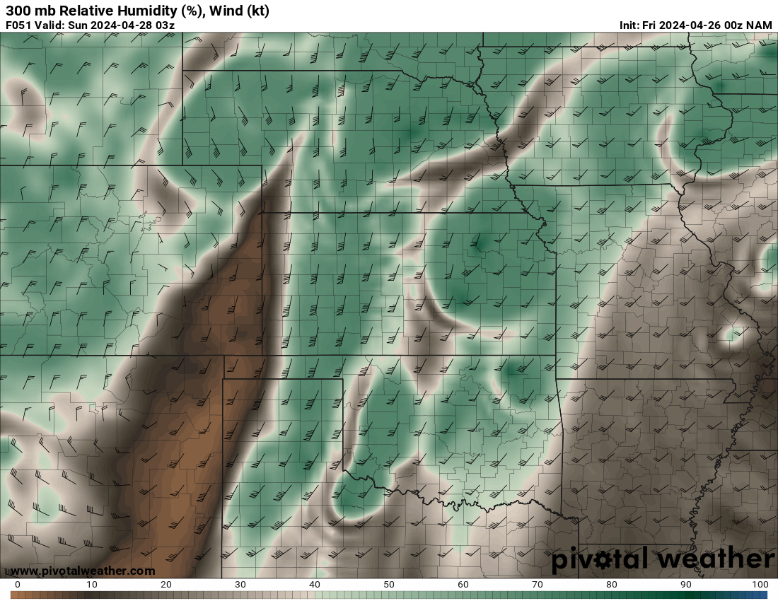
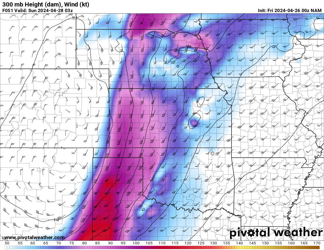
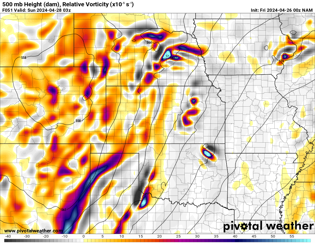
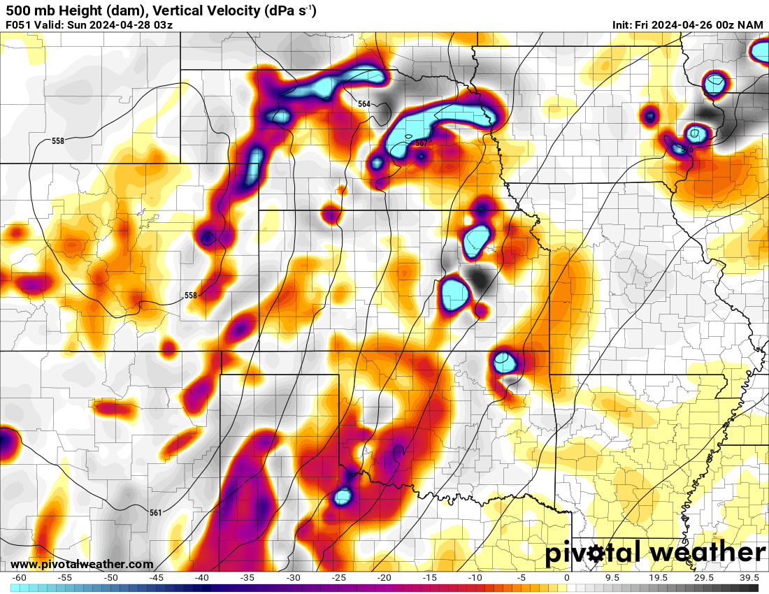
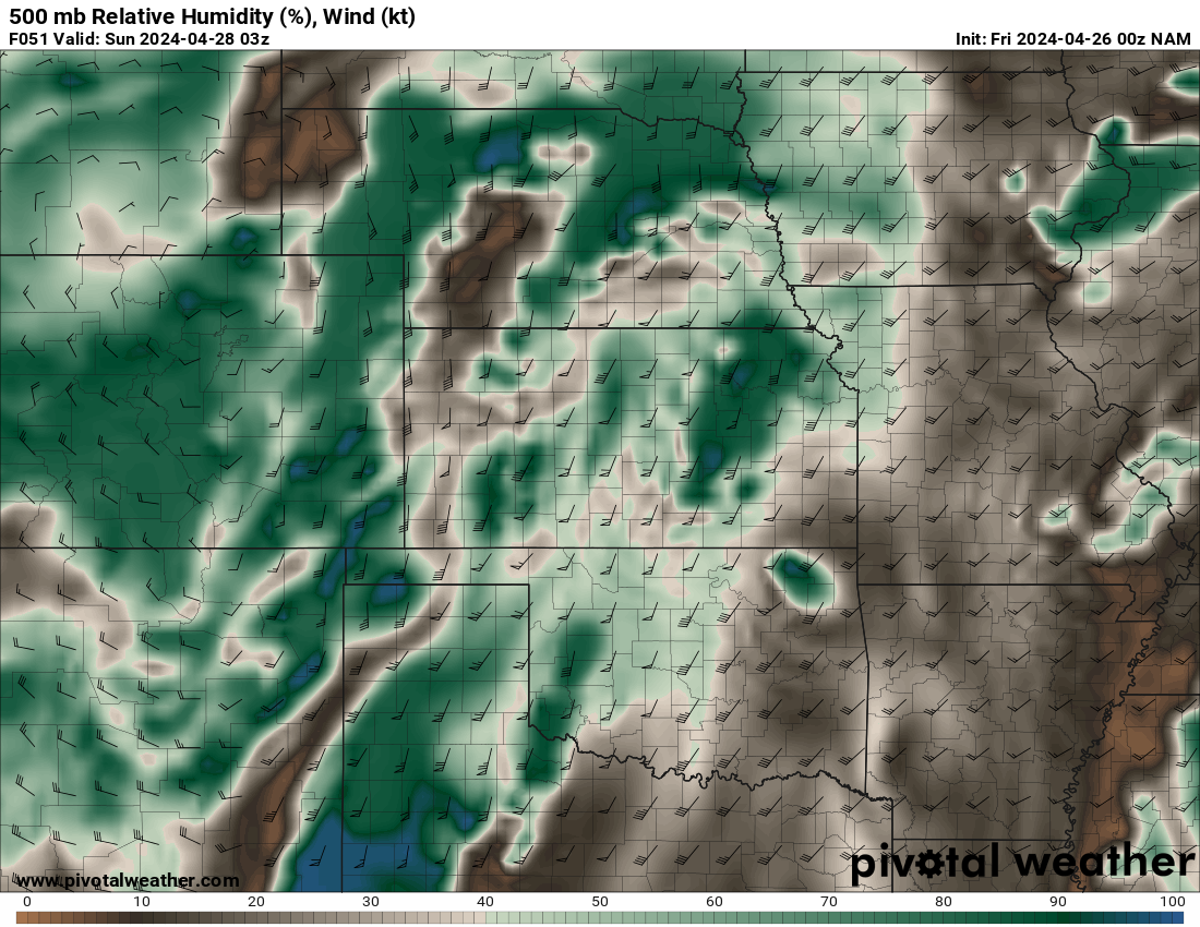
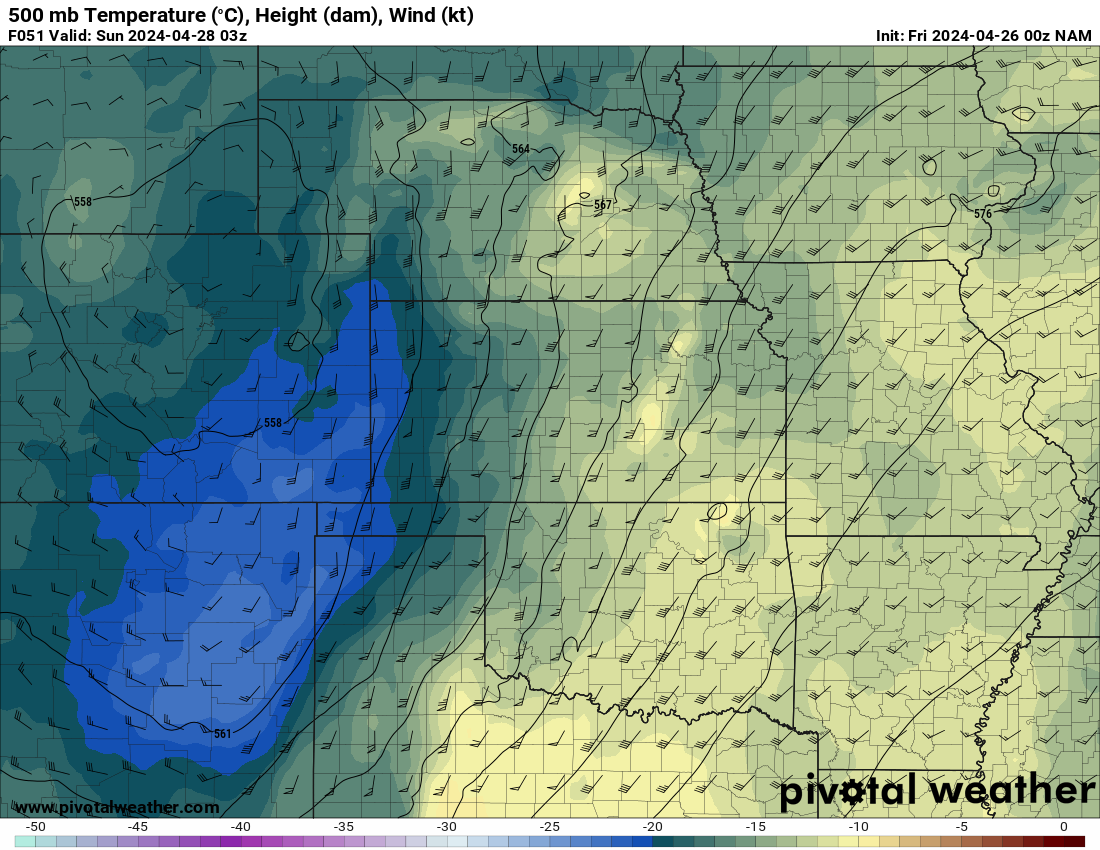
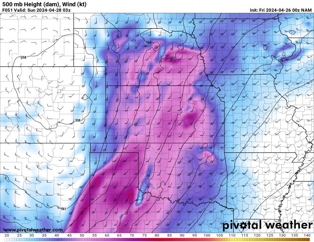
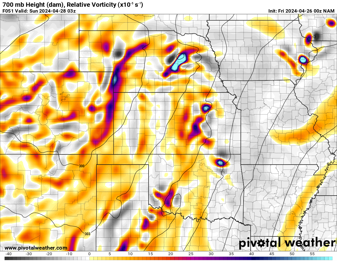
00Z NAM from April 26, 2024


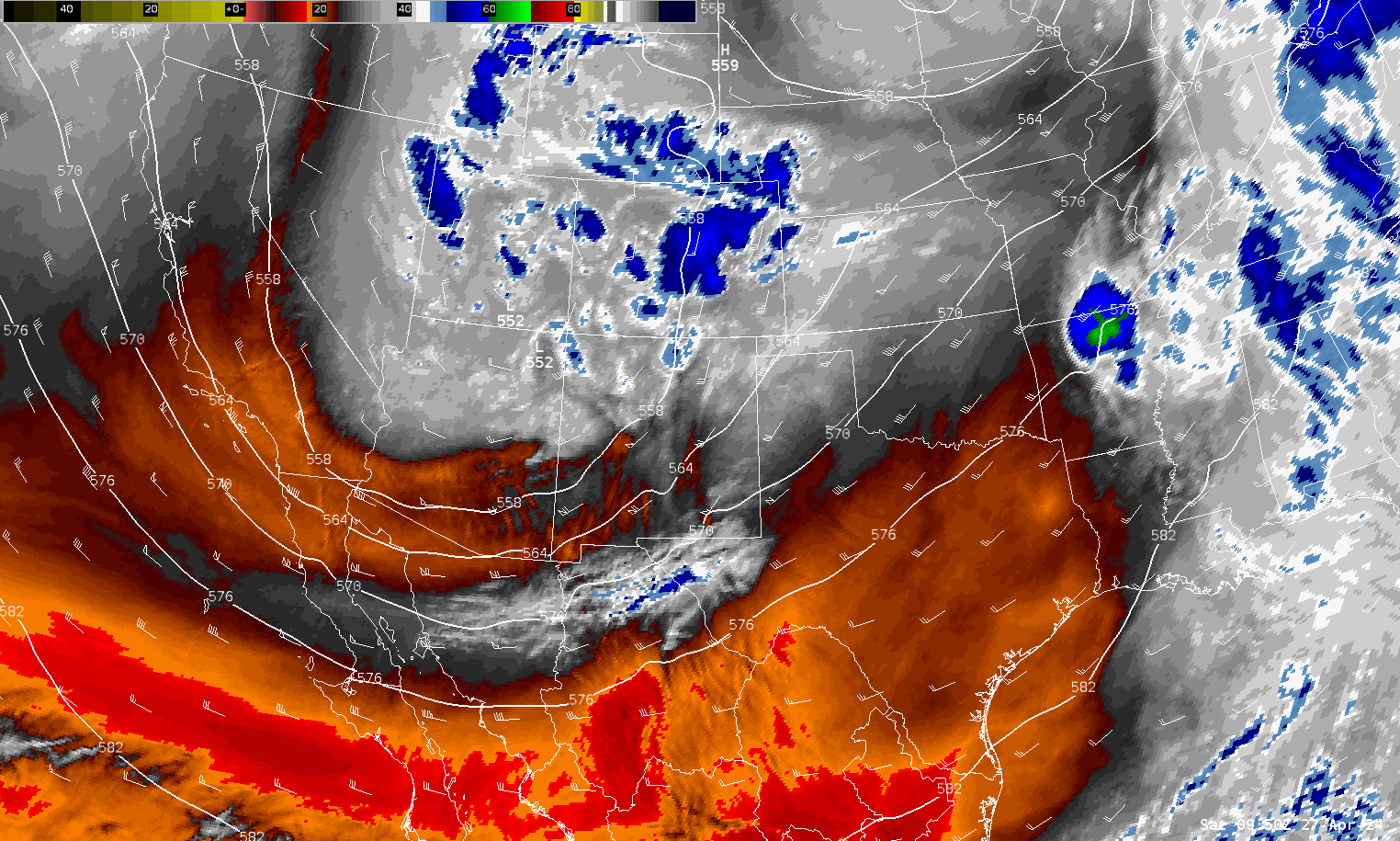
Water Vapor Loop
13z Surface Hand Analysis

Departure
As it seemed like convective initiation would be early, we headed out early and headed southwest on the turnpike. Storms fired along the dryline in Texas, as well as from I-40 northward. I wanted to head west for the storm coming into Southwest Oklahoma so I went towards Altus.
The storm struggled and looked cold. So we grabbed lunch at Whataburger in Altus and headed back east on 62. Storms had fired south of Lawton and had “that look” on radar. So back east we went, heading towards Lawton. Before getting to Lawton it was clear those storms were struggling as well, so the decision was made to drop south into Texas. A strong storm was near Knox City and was tornado warned. The rest of the storms looked unappealing.

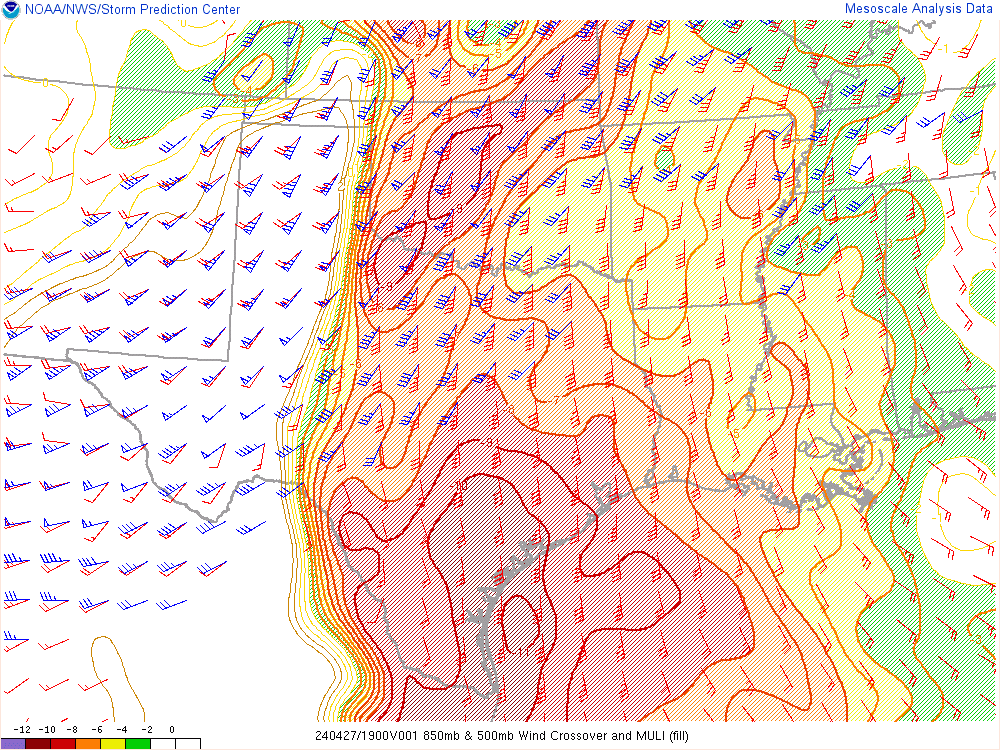
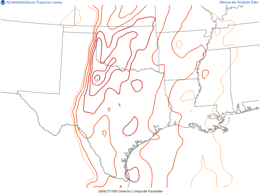
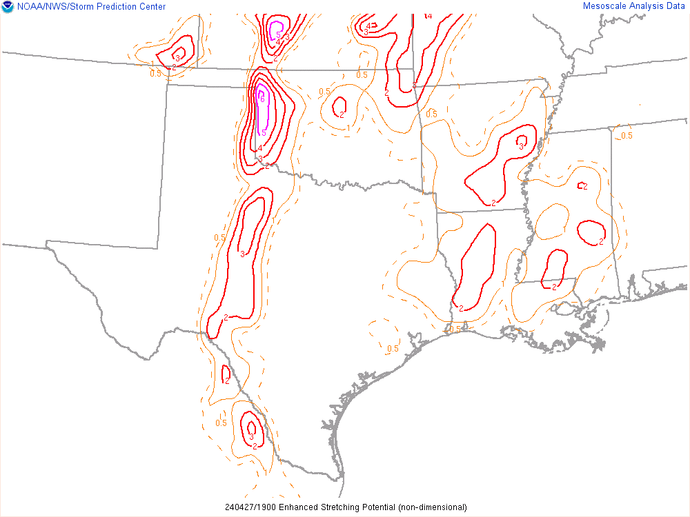
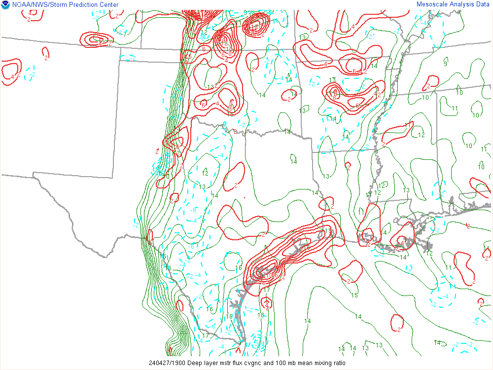
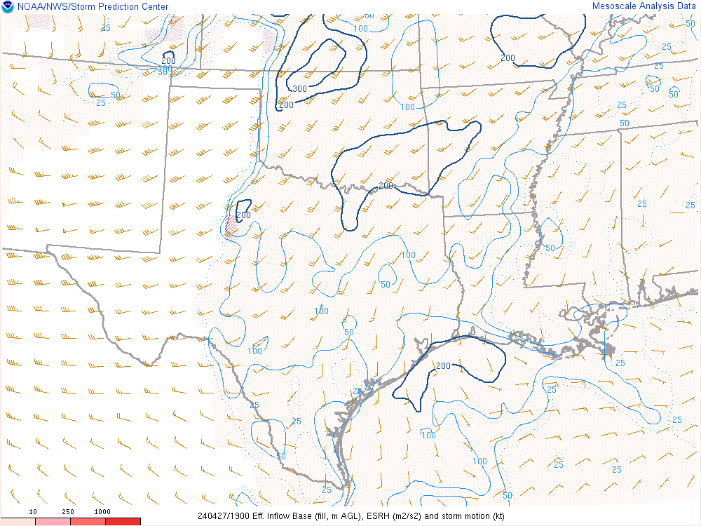
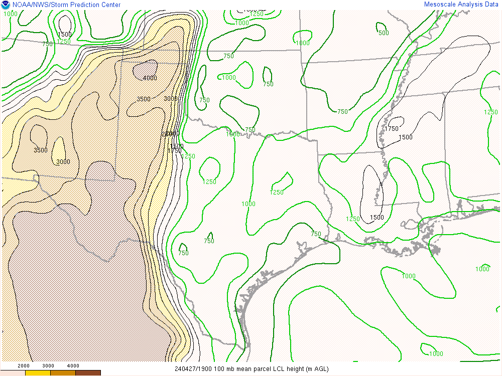
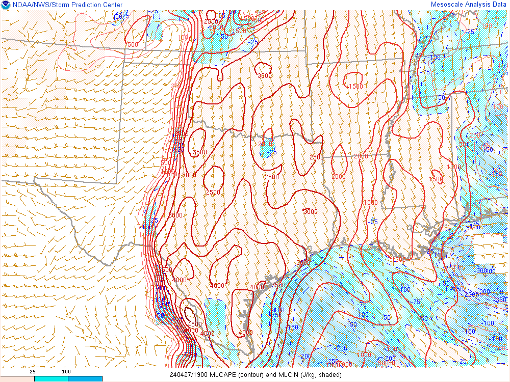
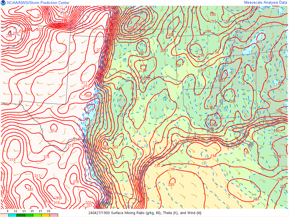
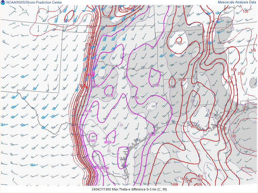
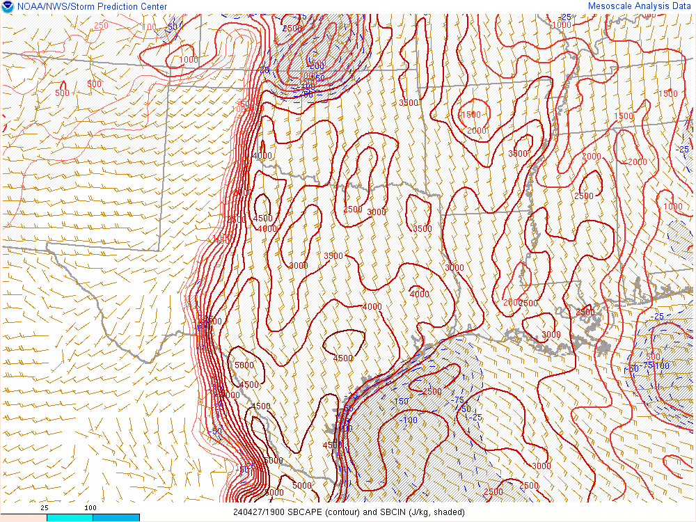
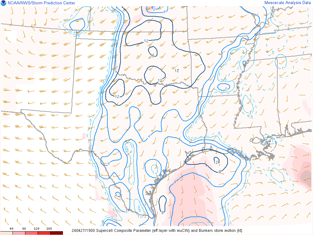
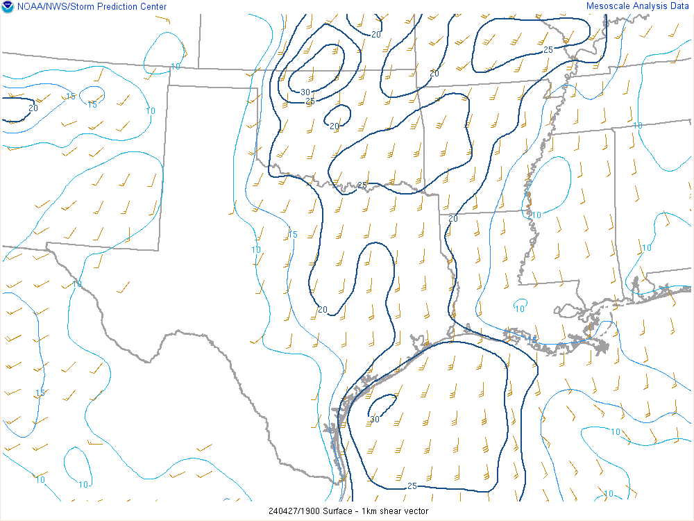
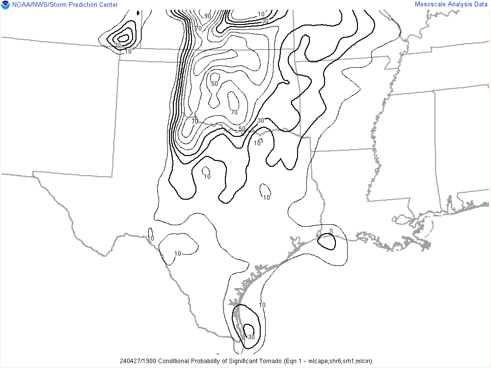
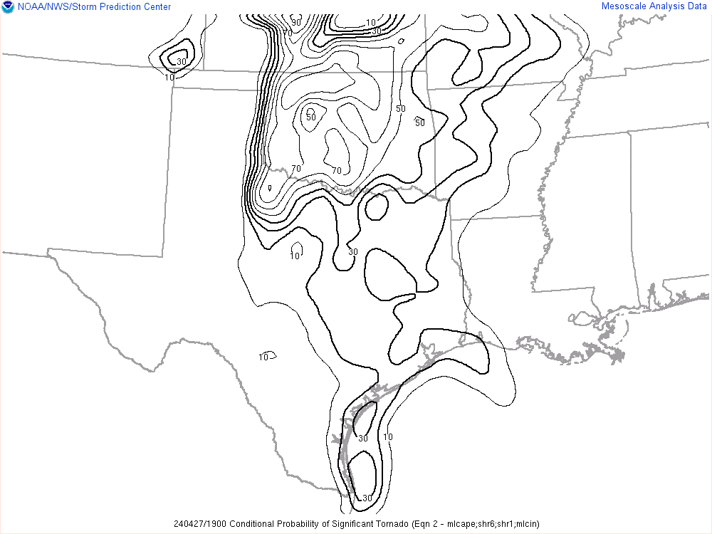
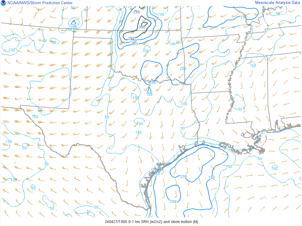
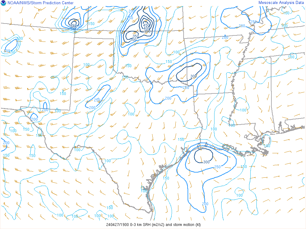
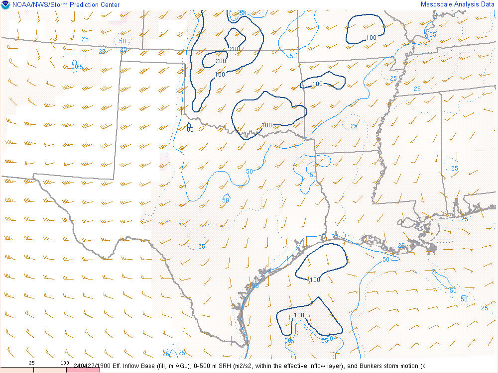
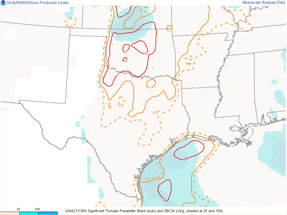
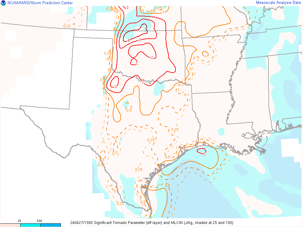
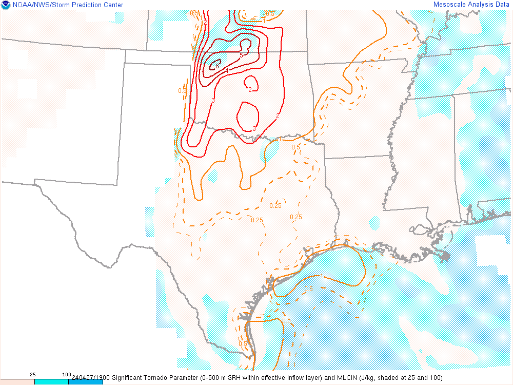
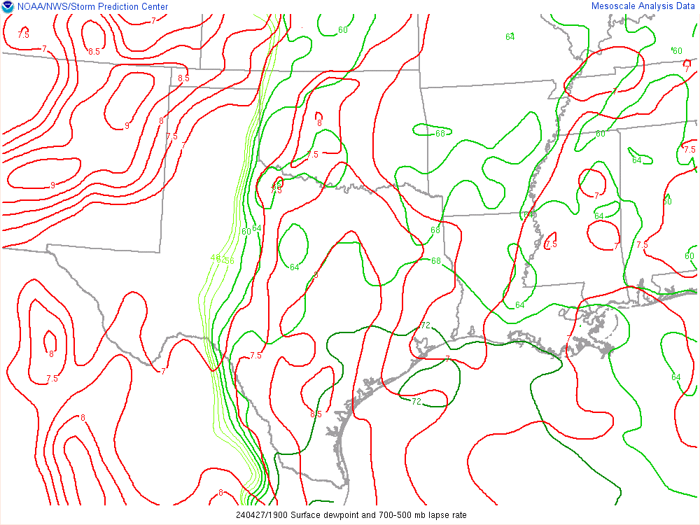
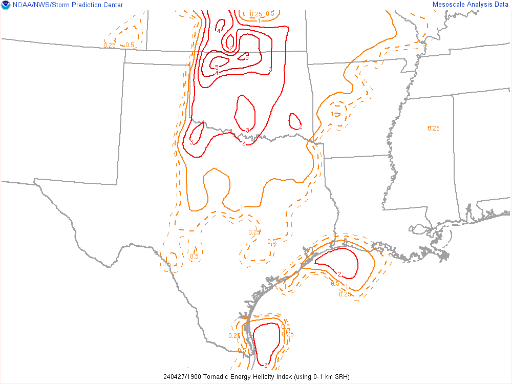
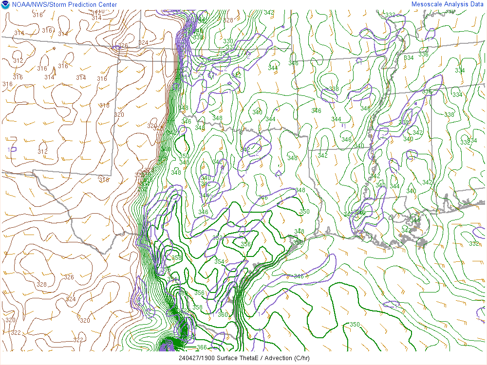
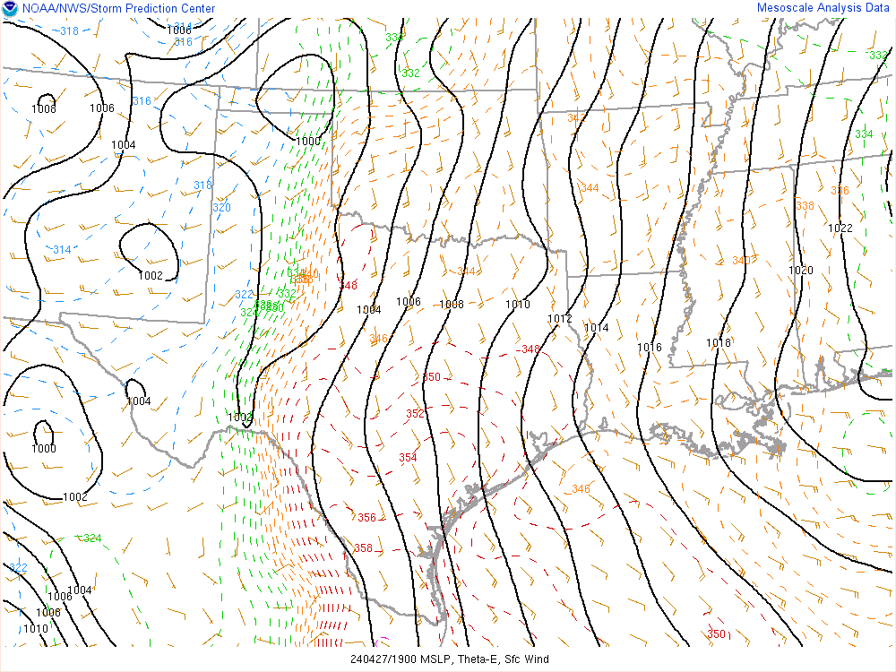
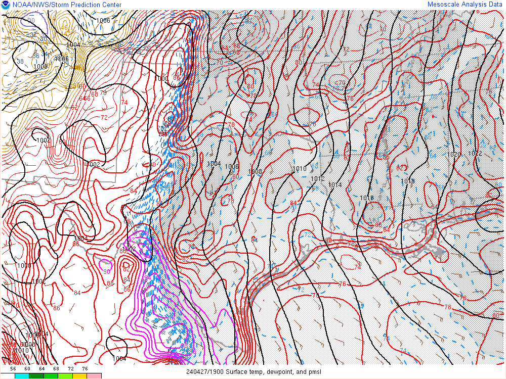
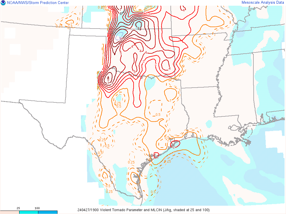
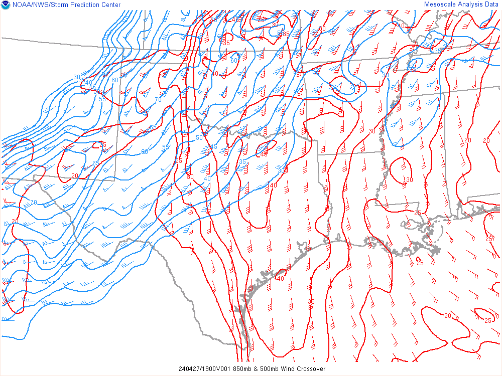
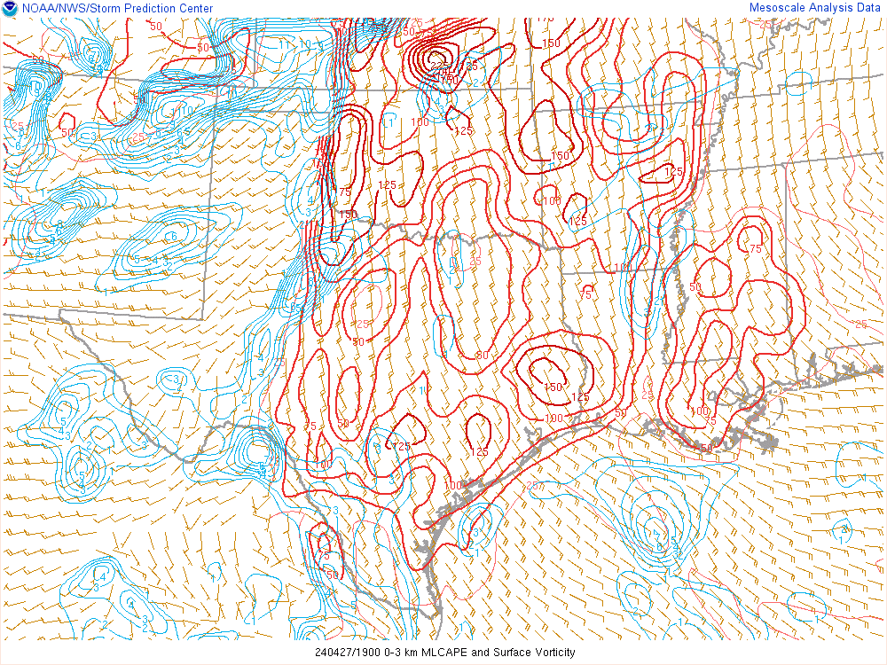
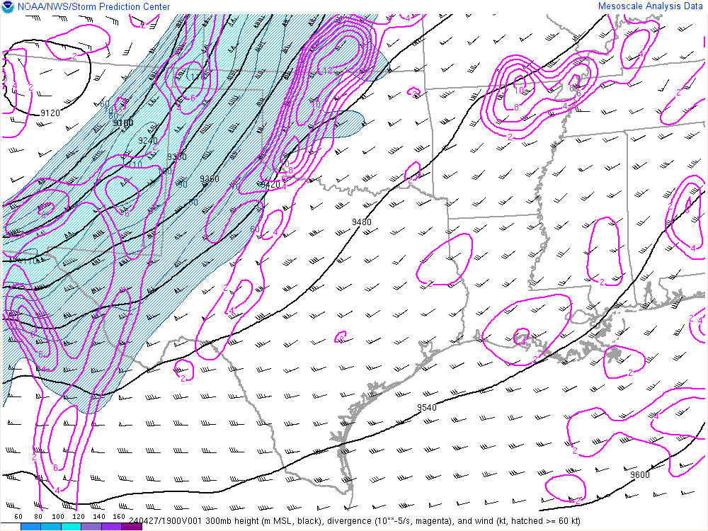
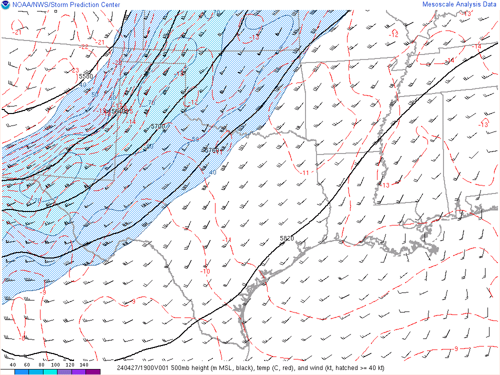
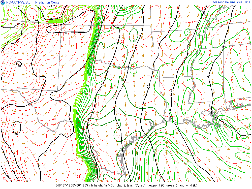
19Z SPC Mesoanalysis


Dropping South into Texas
The next storm that seemed worth chasing was currently east of Knox City and tornado warned. It was about an hour away. I wasted no time heading that way. As the storm was nearing Seymour, we were coming up on US183. With storm motions, we decided to go north on 183 at Mabelle and intercepted the storm first on 183.

Mabelle Wall Cloud
As we got north of the precip shield, we were able to see the wall cloud just north of Mabelle. Because of the lack of roads, we had to go way north into the hail core to continue east.
The storm took on an outflowing HP look as we neared Electra. Almost a shelf cloud, or at least a multi-tiered structured HP Supercell. I kept trying to avoid the hail, so I stayed ahead of it.

Supercell time lapse near Burkburnett
We continued east towards Burkburnett as the storm seemed to slow down and go through some transformations. It seemed to be wrapping up, although something seemed to be missing.
As the storm approached the Red River, we recorded the updraft region for this time lapse. As the precip neared, we took off and decided to get across the river. I was down to 1/4 tank, so we opted to stop off for gas in Randlett just over the river. We could take on a few gallons of fuel and continue chasing. This would cause us to miss the tornado near Devol.
Trying to get a view in the notch
After heading north on 281, I headed back west on some back roads near Cookietown. I made a poor road choice and found myself getting runover. Luckily I was able to escape back to the east.
As we went east out of Walters, I needed to look at roads and radar and make a plan. I pulled into the first parking lot, which happened to be a Casino. I was sitting in a parking spot for less than 2 minutes. The tornado sirens were going off, it was pouring rain and someone knocks on my window. I was told I needed to come into the Casino or leave. I admire the dedication and left further east down highway 53. Some security guard was very wet that evening.
Calling it a night
We headed north on highway 65 towards Duncan to keep up with the highly HP Supercell I had been following. As we neared highway 7, daylight was pretty much gone. We had gotten ahead of the storm and took off northbound on 81. The storm was on our tail all the way back home.


