Storm Chase Details
Miles Logged: 692
States Chased: TX, OK
Largest Hail Encountered: 2.50 in.
Highest Wind Encountered: 70 MPH
Spotter Network Reports: 4
- Hail 0 miles W of SPEARMAN, TX
- Other 0 miles ENE of SPEARMAN, TX
- Other 10 miles NNW of BRISCOE, TX
- Hail 5 miles WSW of BERLIN, OK
Severe Reports: Storm Reports
Jari gets to Forecast
We left Norman in the early afternoon. I left the targeting up to Jari. He wasn’t very excited about doing it, but he wrote his target down on a piece of paper.
Depature
We headed down I-40 to Shamrock where we stopped for gas and Dairy Queen before continuing west. A storm was ongoing in Cimarron County OK near Boise City. It apparently produced a tornado, but I still remained south near Amarillo. I was interested in the Outflow Boundary/Dryline intersection just south of Amarillo. Plenty of cumulus clouds kept bubbling but seemingly would evaporate. Storms struggled with capping while we sat in Amarillo. Storms to the north became tornado warned, so we decided to head that way.
As we headed north on US287 to Dumas, we had to make a decision. Head west and north to Dalhart and jump on that storm which had just produced a tornado or head north to Stratford. North won, and we continued on 287.
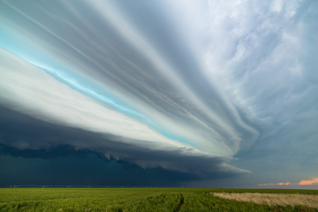
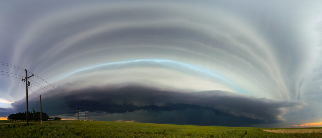
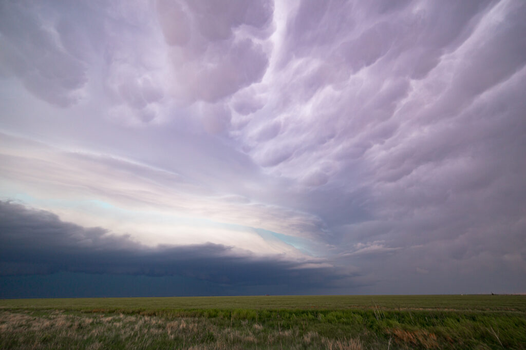
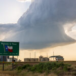
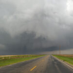
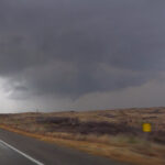
As the storm came into sight, it was obvious that it was producing a large shelf cloud. It sure was photogenic! We spent the next hour or so driving east and getting ahead of it and taking photos.
Photos
Spearman, Texas Hail
We ended up in Spearman, TX where we let the core hit us. The returns were over 70dbz on AMA radar. Lots of golf ball sized hail fell as we hid in a carwash and took video. Even standing on the far side of the car wash, we were bombarded by hail stones, rain and wind. The heater was cranking full blast when I jumped back into the car.
A quick stop for Allsups and to upload video and we were heading back east towards home via Canadian, TX. We managed to get into a tornado warning there and then again in western Oklahoma nw of Sayre. Great storms and a solid chase day.
Jari’s Target
Jari ultimately had written down Cheyenne, Oklahoma as his target. Not too far off.


