Storm Chase Details
Miles Logged: 1207
States Chased: IA, IL, IN
Tornadoes Witnessed: 1
Spotter Network Reports: 1
Severe Risks: SPC Outlooks
Severe Reports: Storm Reports
The 5th would end up being a top five bust of my career. Excellent tornado parameters in place in Illinois but I took the bait and got suckered to Iowa.
Forecast
Aric and I were looking at the 12Z NAM on the 4th and I noticed significant tornado potential in Western Illinois. I realized I was actually looking at the 5th instead of the 4th. So, I kept that in mind while I chased on June 4th in Michigan.
We chased through Central Michigan on June 4th and documented a nice storm moving through Lansing. After the chase, we met up with Bob and Kurt at Outback steakhouse. I brought up the 5th during dinner, and Bob and Kurt had not looked at all. The newer models showed a warm front across I-80 with a very rich and unstable airmass south of the front.
Departure
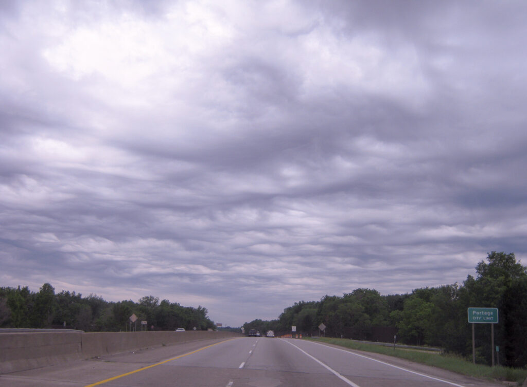
I departed Lansing somewhat early with a target of Monmouth, IL in mind. I headed down I-69 to I-94 westbound and was making excellent time. The sky was covered by a blanket of clouds as I headed down 94. I departed Lansing around 8:30am Central Time and was through Chicago by noon. Northern Illinois had considerable clearing, with the sun out.
I took I-80 west until IL-40 near Langley where I stopped for awhile. A stop was a good opportunity to catch up on the latest satellite and model runs. It was at this point where I started to doubt my Monmouth target, and started to look further north around I-80. I decided to stick to my target, and head over to I-74 and take that south to Galesburg, and then US34 to Monmouth.
Arriving in Monmouth
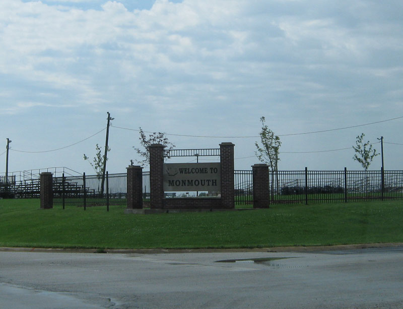
I arrived in Monmouth around 3:30, about an hour after Mesoscale Discussion 816 had been issued and just before Tornado Watch 266 was issued. The fact Monmouth was in the eastern edge of the tornado watch made me nervous. Things seemed to be in place in Illinois where I was, but I was sitting under broken cloud cover and SPC was putting an emphasis on Iowa. I decided to head to Iowa and go to Mount Pleasant first and wait.
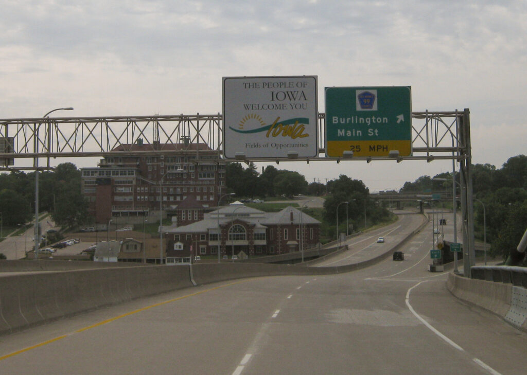
As I headed west towards Mt. Pleasant, Scott called me and he was in Ottumwa. No problem, that’s only 45 minutes further. After I crossed the Mississippi river into Iowa, storms started firing to the west and north of Des Moines. I assumed this was the main event, so heading further west seemed reasonable at the time.
In Ottumwa Iowa
I met up with Scott in Ottumwa at the Walmart while his vehicle was getting an oil change. A cloud deck had moved in, killing the diurnal heating. Some blips were starting to show up on radar nearby, but just little brief showers. Scott and I headed over to HyVee and met up with Andrew briefly before deciding to head east towards the rain showers. Andrew headed west towards the line of storms.
Heading East
As we made our way east on US34, the line to the west appeared very disorganized. The echos we were seeing on radar were still not very intense, just rain showers. Nothing was showing any lightning strikes at this point.
As we were between Fairfield and Mt. Pleasant, the storm that would go on to be the prolific tornado producer would start looking more organized. 3-4 radar scans later on Davenport radar and some rotation became evident. We passed by Mt. Pleasant around 7pm as storms really started to get going.
Storms start maturing
By 7:45 the storm was near Kirkwood and was showing rotation with a hook echo. Tornado reports started coming in from just southeast of Galesburg. I was about 35 miles behind at this point, trying to play catch up to the storm.
As the Tornado hit Elmwood, we were approximately 30 miles behind on highway 116 just east of Roseville. I continued east towards Peoria as it became clear I likely busted. Scott decided to give up as he was chasing further away from home, so I continued eastward.
Tornado Warned storms south of Peoria
I crossed the Illinois river and headed to I-155 south towards Lincoln. I was attempting to see anything on one of the remaining tornado warned storms that were ongoing. I setup along I-155 and let the storms catch up to me before setting up near the Lincoln airport. As storms approached, it appeared to be just a shelf cloud moving at me.
As I continued to follow the storms south, I came across a bunch of tree branches and trees in the road. Unfortunately I ran over some of the branches and caused some damage to the suspension of my truck. It was later confirmed that an EF-0 tornado had crossed there. I also found some sheet metal and other pieces of buildings just south of there.
I decided to call the chase and get a hotel in Lincoln. It was after midnight and I was hungry and needed gas.
Links
- National Weather Service Lincoln write-up of the June 5 event
- National Weather Service Chicago write-up of the June 5 event
- Stormtrack Reports Thread from June 5, 2010
- NWS Cleveland write-up of the Wood County Ohio EF-4 tornado
- NWS Northern Indiana write-up of the June 5, 2010 event
- Nick Nolte’s recap of June 5, 2010
